Overview
The Rae Lakes Loop, located mostly in Kings Canyon National Park, is a popular 40-mile loop with elevations ranging between 5,000 and 12,000 feet. Often considered one of the most scenic trips in the Sierra Nevada mountains, it spans both the damp, rain forest-like western Sierras, and the dry, rocky, eastern Sierras. Its relatively short length makes it an ideal solo trip for someone who has some backpacking experience, but who may have been away from the hobby for a decade (or three). With some small side trips, the total mileage came out to about 43 miles over three days.
I planned it as a four day trip, as I wasn’t sure whether I’d be able to maintain the 15-20 mile days of my youth. It turned out that this wasn’t an issue, and I ended up finishing the loop in about 2.5 days.
I’m writing this trip report more than a year after the actual trip took place, so my recollections may be slightly hazy. The photos were taken with an iPhone 11. My wife kindly photoshopped a few of them to improve the lighting and colors. It’s possible that I may be slightly off on a couple of photo locations, as I seem to have accidentally deleted them from my mapping software.
The route
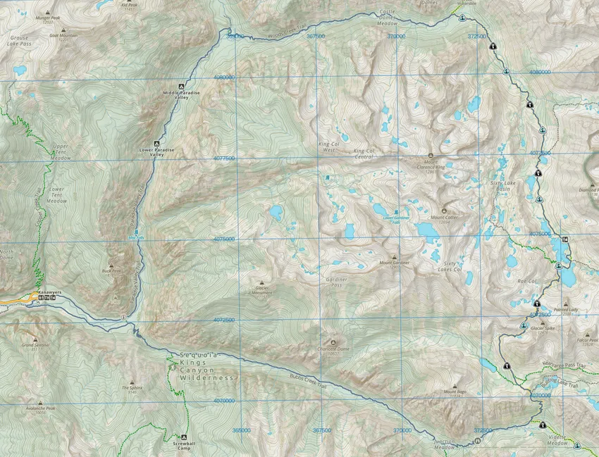

There are a few different entry points to the loop. Perhaps the most popular is to start at Kanawyers in Kings Canyon National Park (bottom left, on map above) and to hike the loop clockwise. This makes for a more gradual ascent, so you will be better acclimated and your pack will be several pounds lighter by the time you reach the final steep climb to the top of the nearly 12,000 ft Glen Pass around the mile 23 mark.
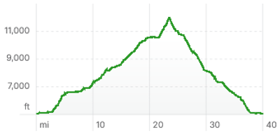
Elevation profile, if hiking clockwise.
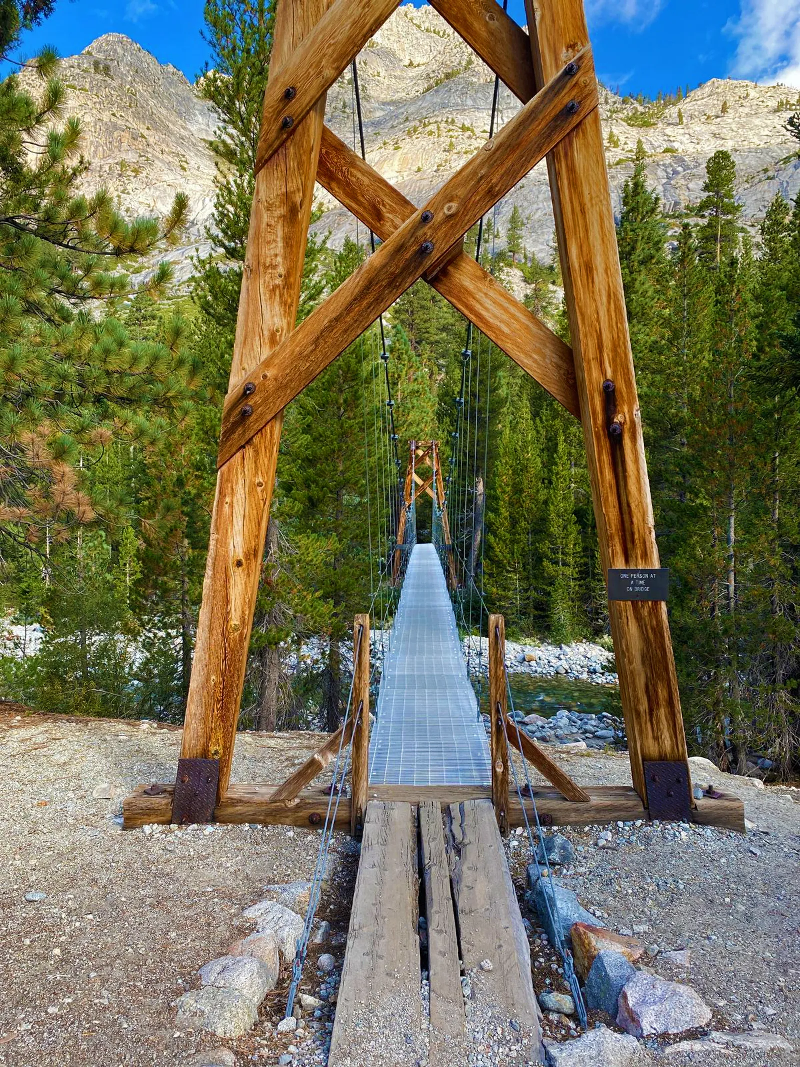
Because I obtained my permit only a couple of weeks in advance, all of the permits for the clockwise loop were already taken. I had to do the trip counter-clockwise, which entailed a steeper, more relentless climb early on with a heavier pack. I also carried a couple of days’ extra food in case I had to turn around at the river crossing in Upper Paradise Valley, where a major bridge had been washed away during a heavy snowmelt the year before.
All in all, it still ended up being one of the easier trips I’ve done. I would happily repeat the same route again.
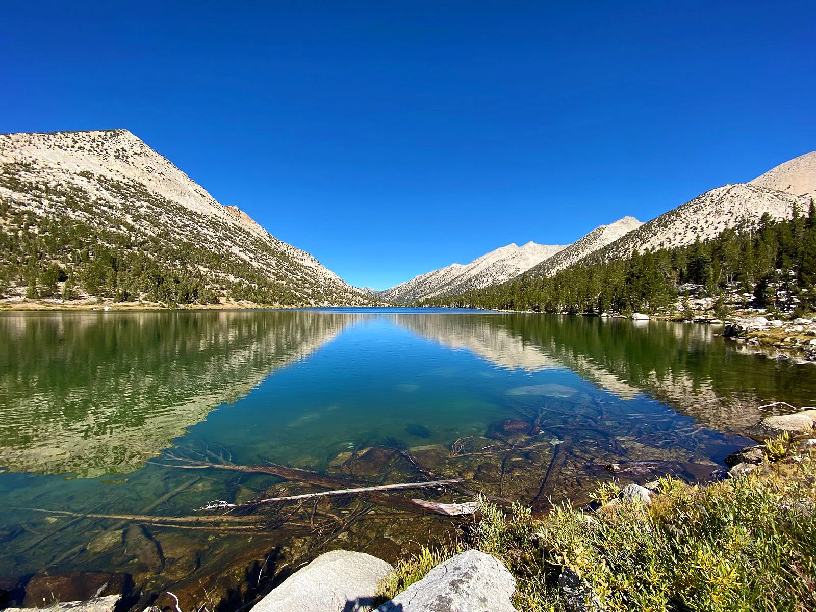
Day 1: Bubbs Creek trailhead to Lower Vidette Meadow (about 12.5 miles)
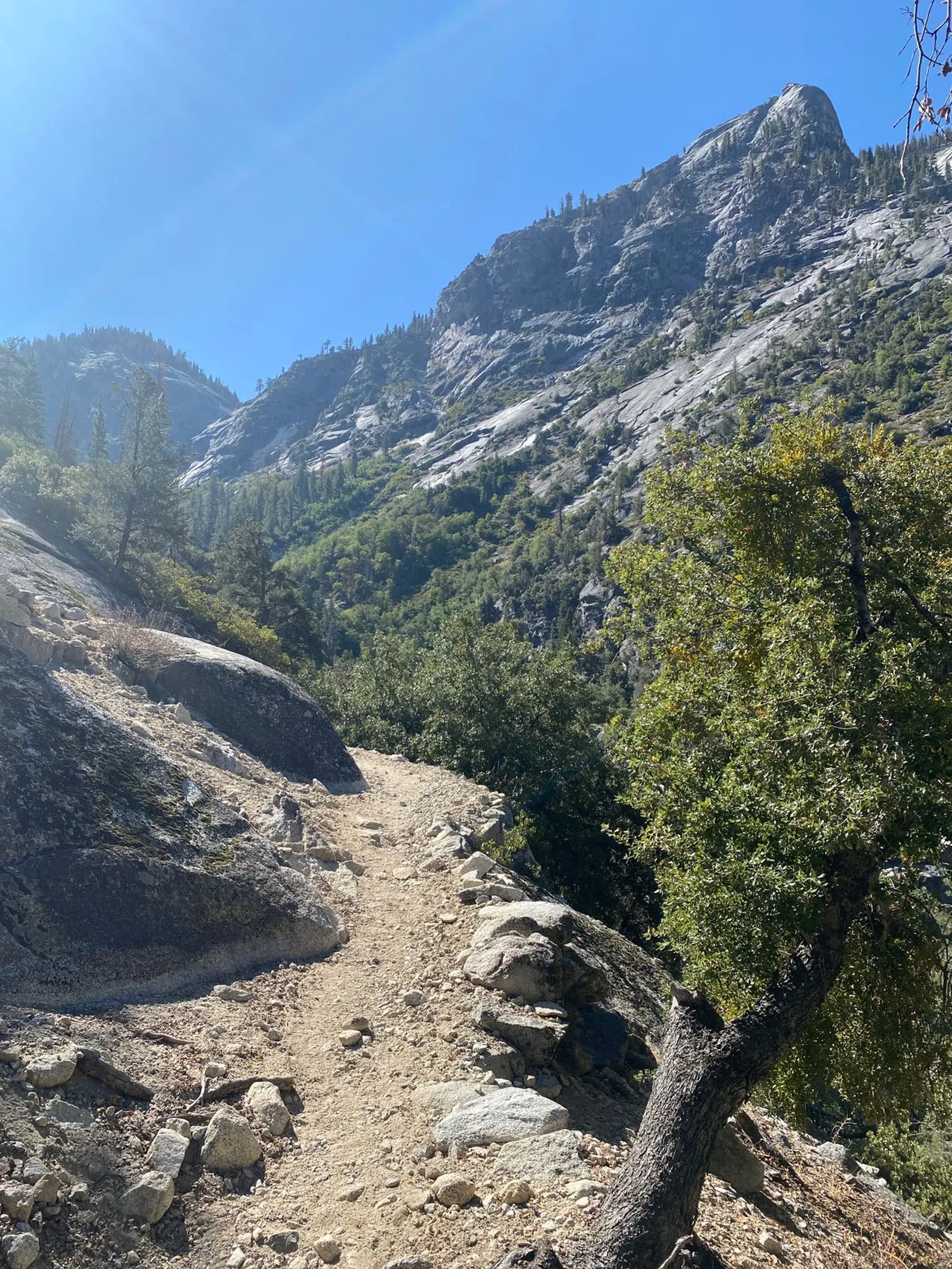
The first day I climbed about 4,500 feet over 12.5 miles to reach Lower Vidette Meadow, where I set up camp in a meadow a few dozen yards from the trail. I stopped at about 10,000 ft. elevation to give my body some more time to acclimate. The bug face net was essential below about 8,000 ft, where the gnats swarmed relentlessly.
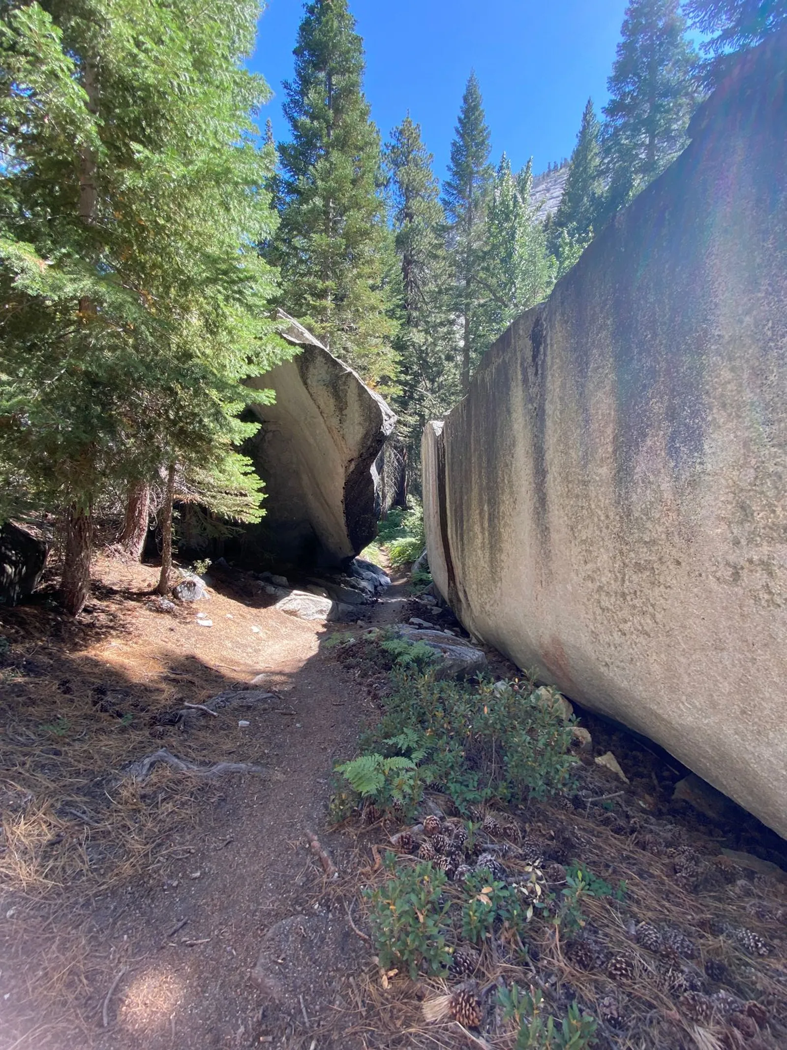
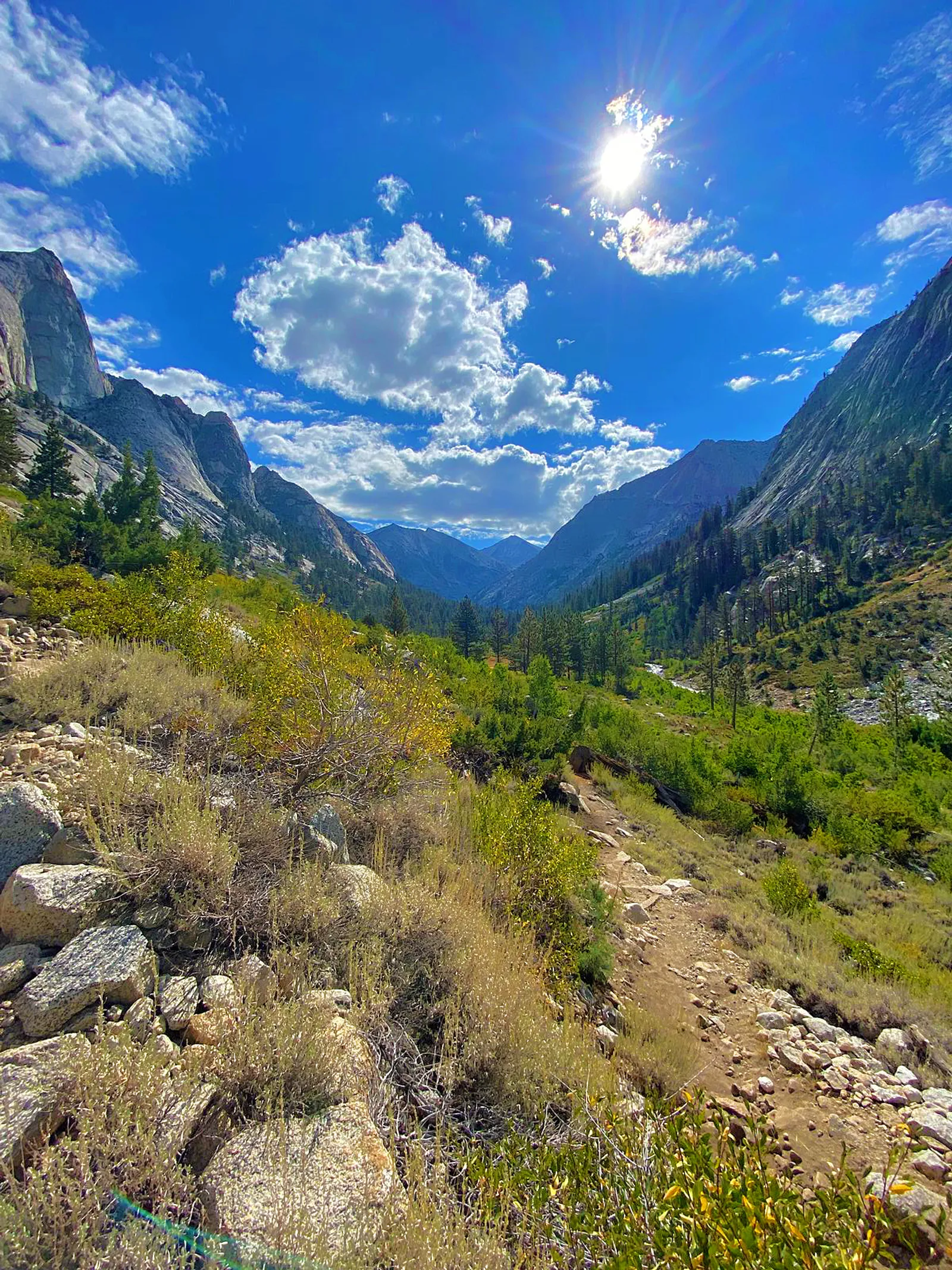
The following photos were taken on the first day’s climb. Sometimes the sun just doesn’t cooperate, so a few are a bit washed out.
Day 2: Lower Vidette Meadow to somewhere a few miles south of Woods Creek Trail junction (about 15 miles)
I was greeted by a herd of deer passing right through the campsite the next morning while drinking my coffee. Sadly they passed before I could get any photos.
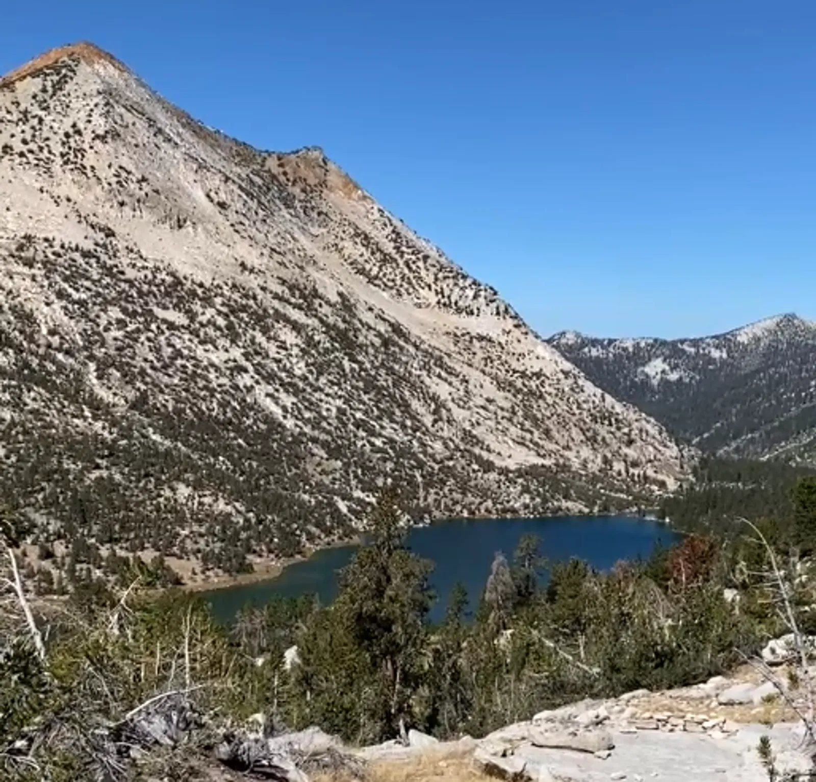
I continued on a steep climb up and over Glen Pass, with a brief detour to Lake Charlotte along the way. According to the map, the side trail to Lake Charlotte is 0.8 miles each way, with about a 200 foot elevation change. Coming down the trail and viewing the lake in the distance, it looked a hell of a lot further down than that.
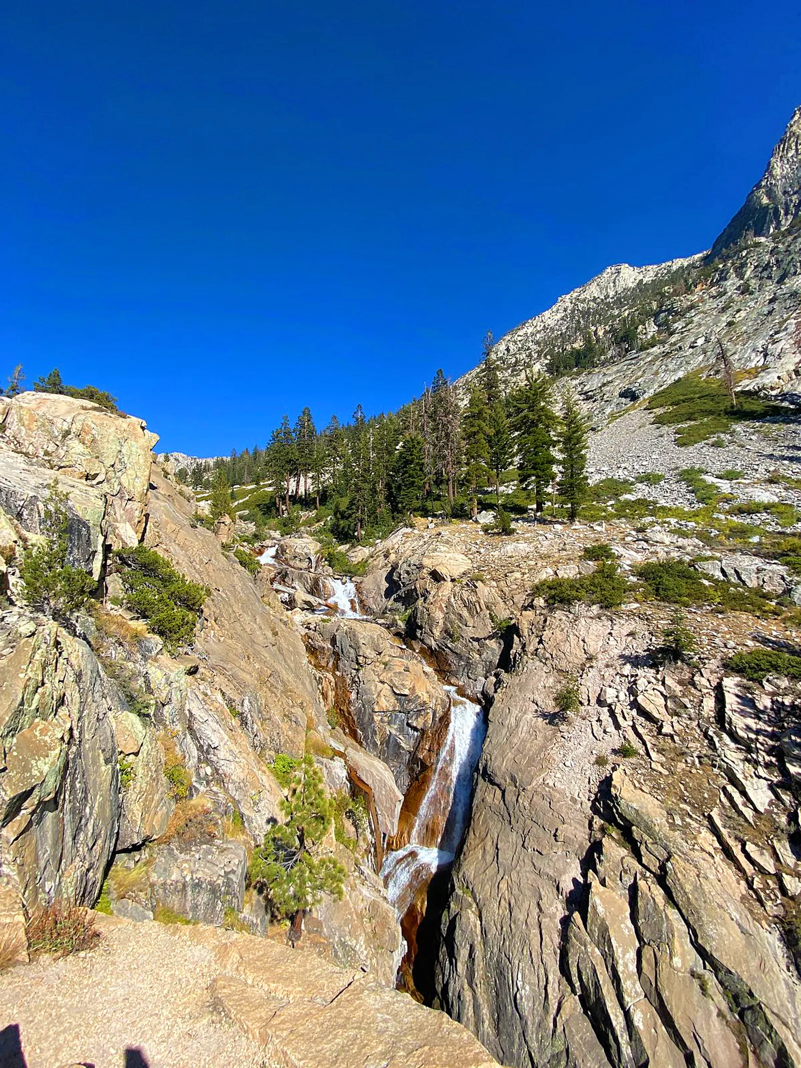
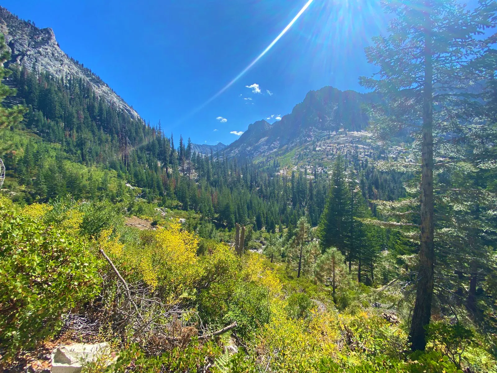
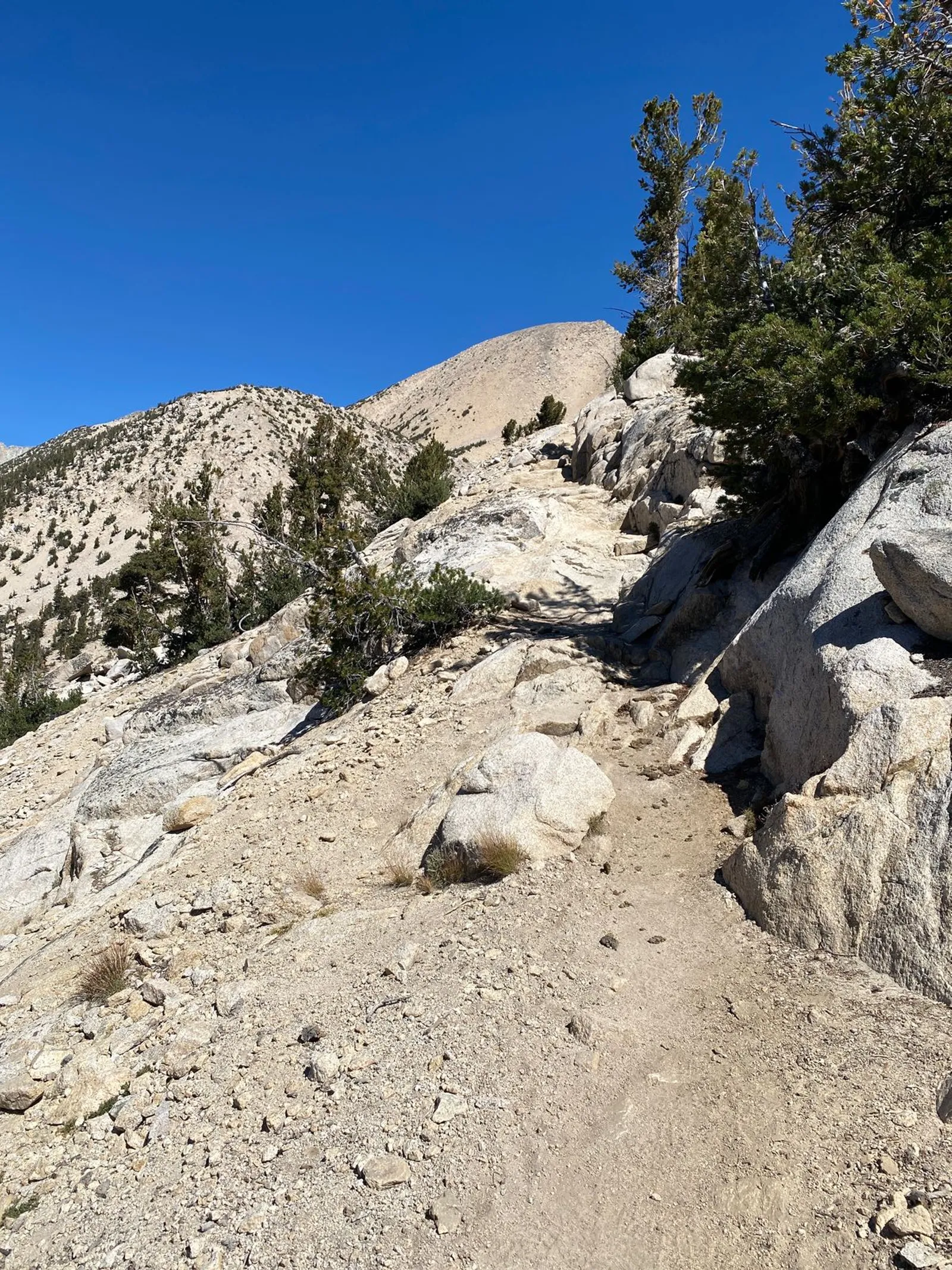
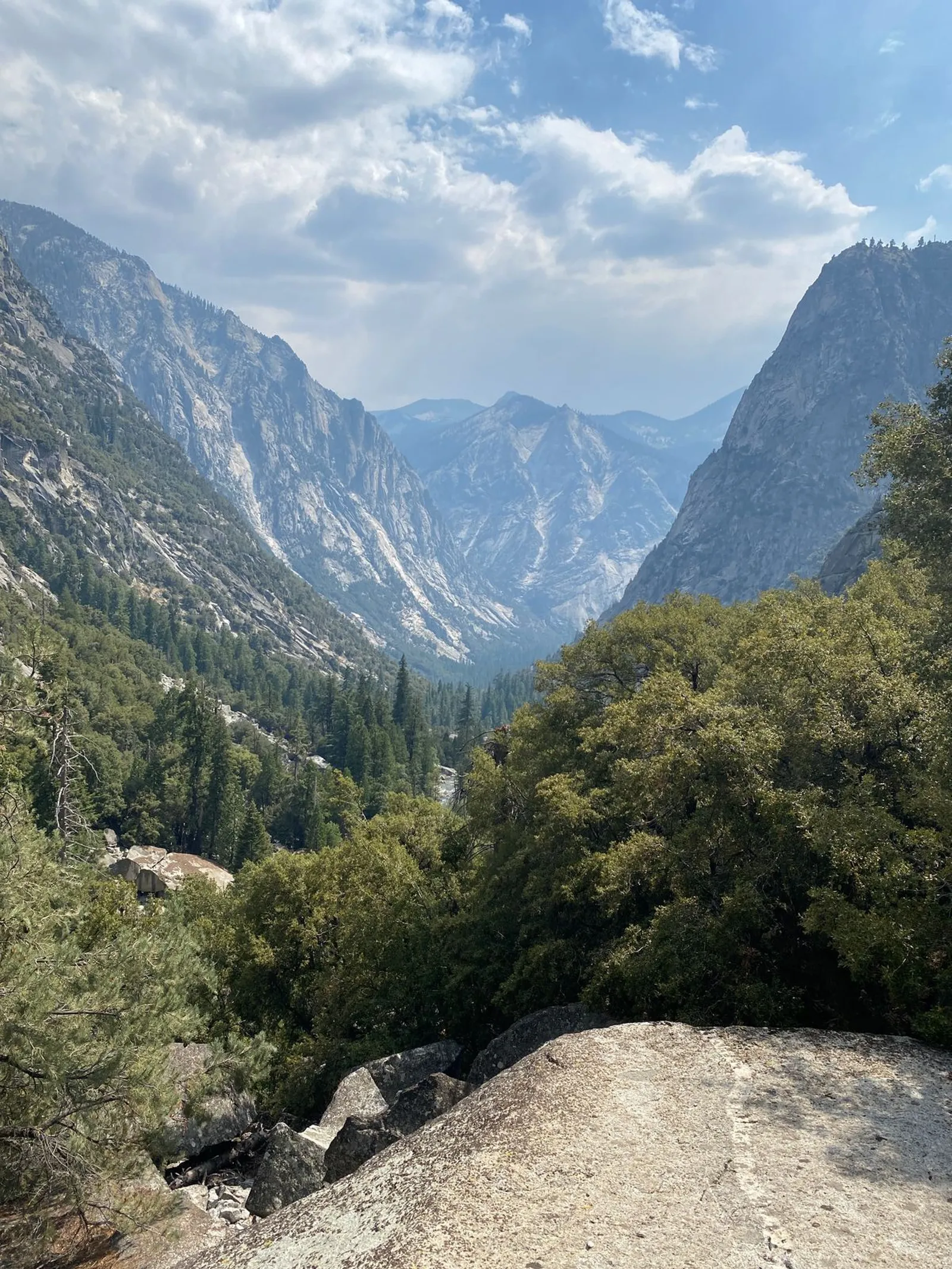
After returning to the main trail, I continued my climb. As I moved towards the eastern Sierras, the terrain became increasingly steep, rocky and barren. Approaching the top of the 12,000 ft. Glen Pass, I hiked by a couple of small unnamed lakes. I was thankful that didn’t need to climb down to them to refill my water bottles. Even though the trail was only about 40 vertical feet from the lakes in a couple of places, it would have been quite tiring to pick my way down among the rocks to reach them and then climb back up. The elevation had me huffing and puffing.
I reached the summit of Glen Pass in the early afternoon and saw a couple other hikers relaxing and enjoying the view. The photos don’t show them, but ominous thunder clouds were quickly gathering. Mountain thunderstorms over exposed terrain are nothing I care to mess around with, so after snapping a couple of quick photos I quickly made my way down the other side of the pass towards the Rae Lakes.
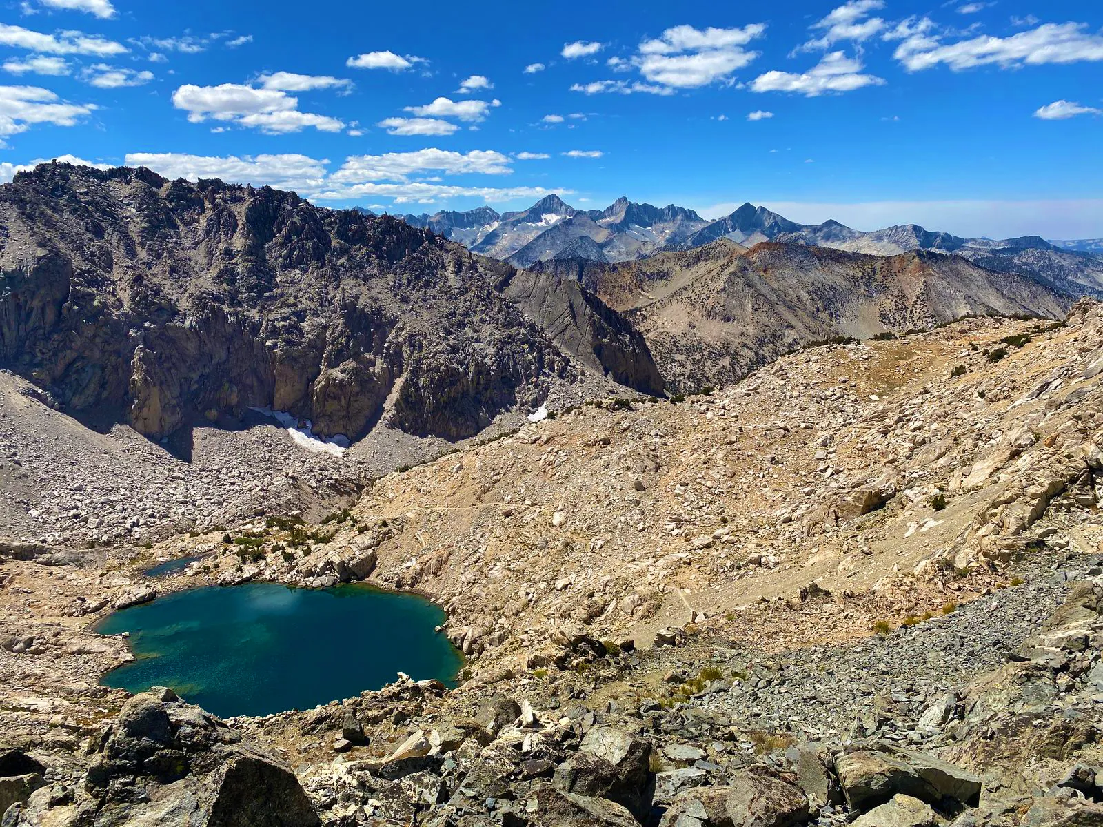
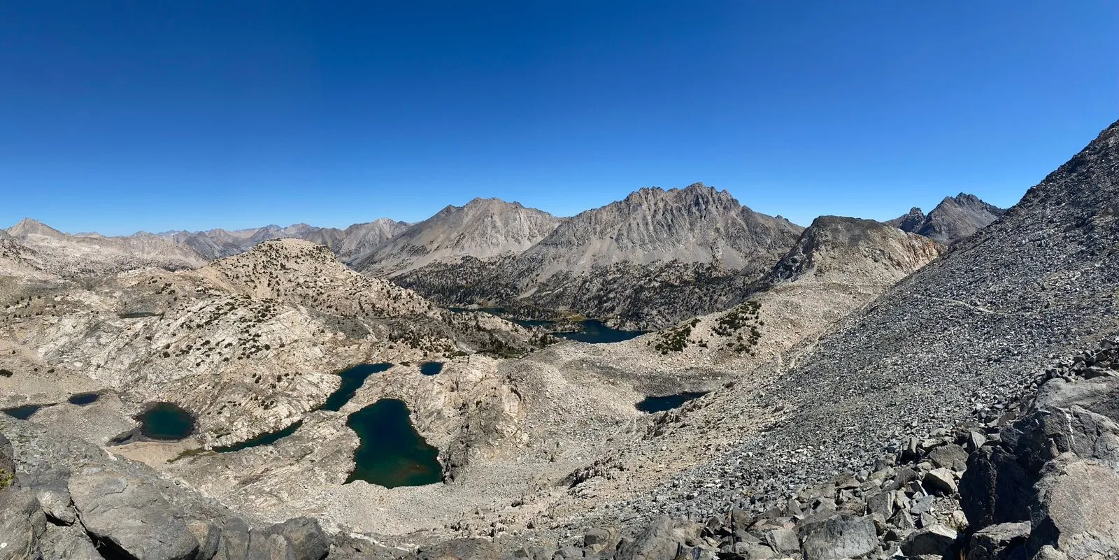
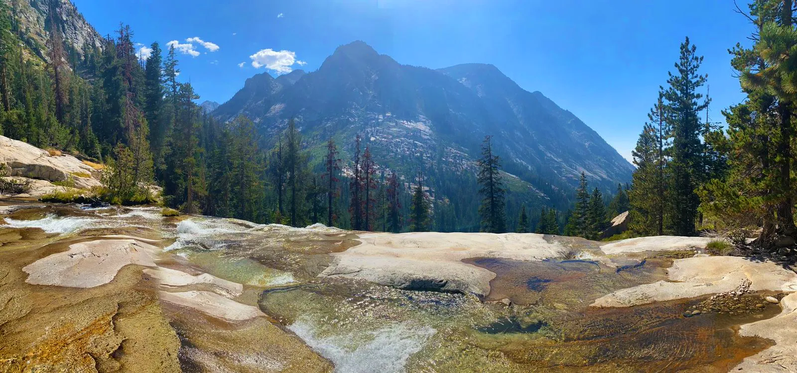
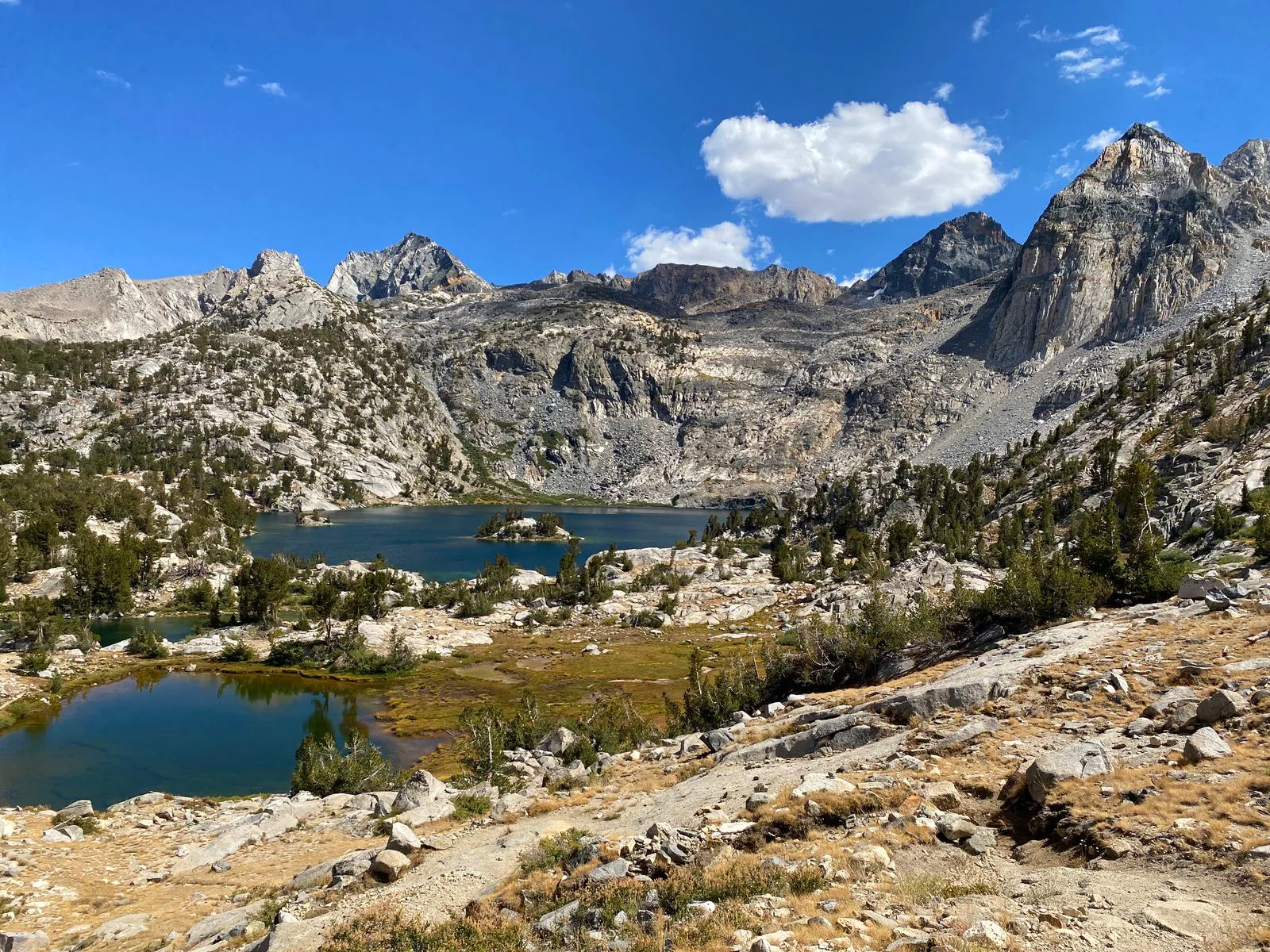
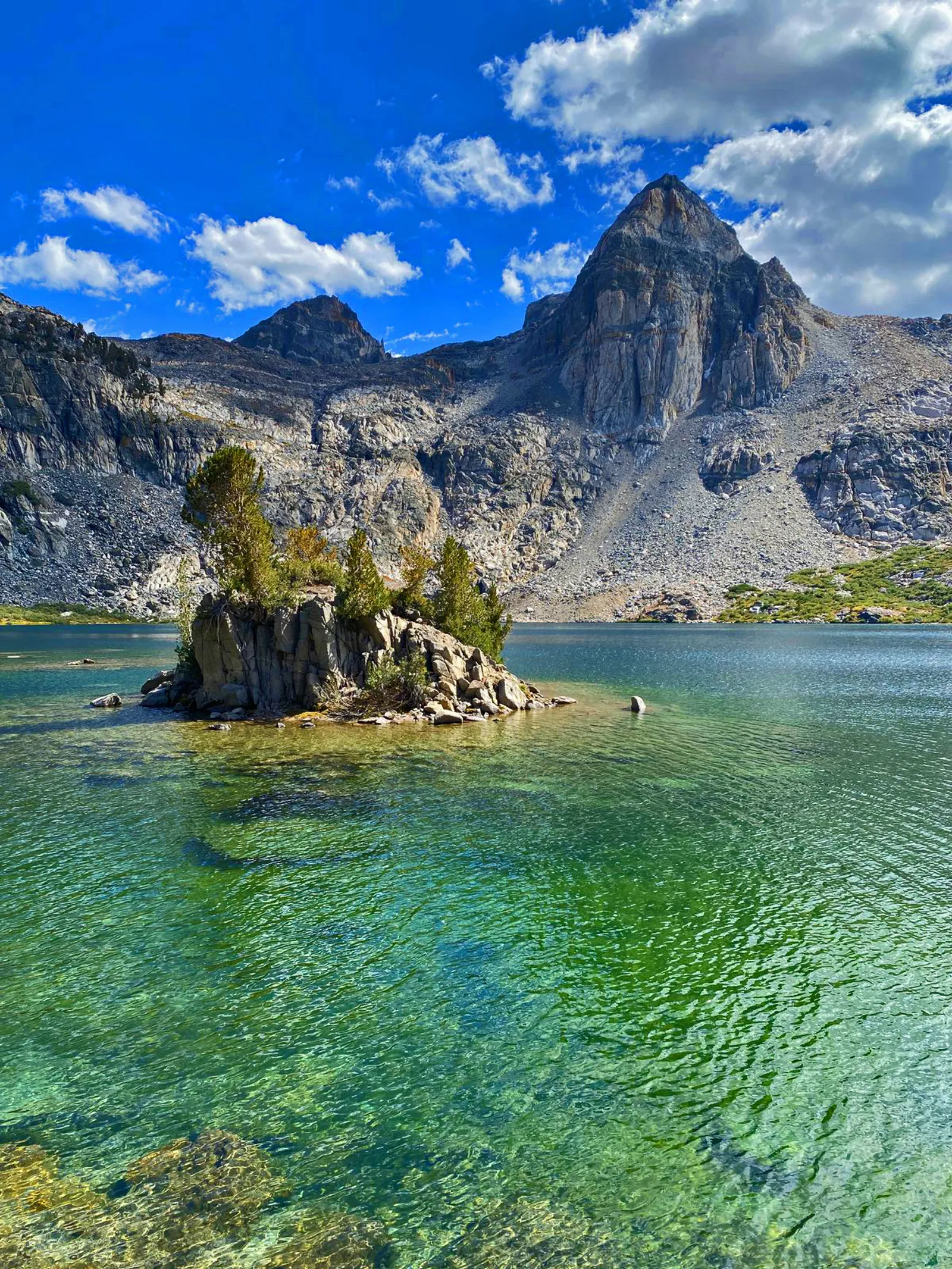
After finishing the roughly 1,500 ft. descent to the basin, I spent some time exploring the area. As I was well ahead of schedule, I made a brief excursion towards the Sixty Lake Basin, which would have been about a 12 mile out-and-back detour with an overnight stop on the way. However, after climbing a couple of hundred feet of the side trail, the barren landscape, my growing fatigue, and another backpacker coming the opposite direction convinced me to turn back and continue on the main trail.
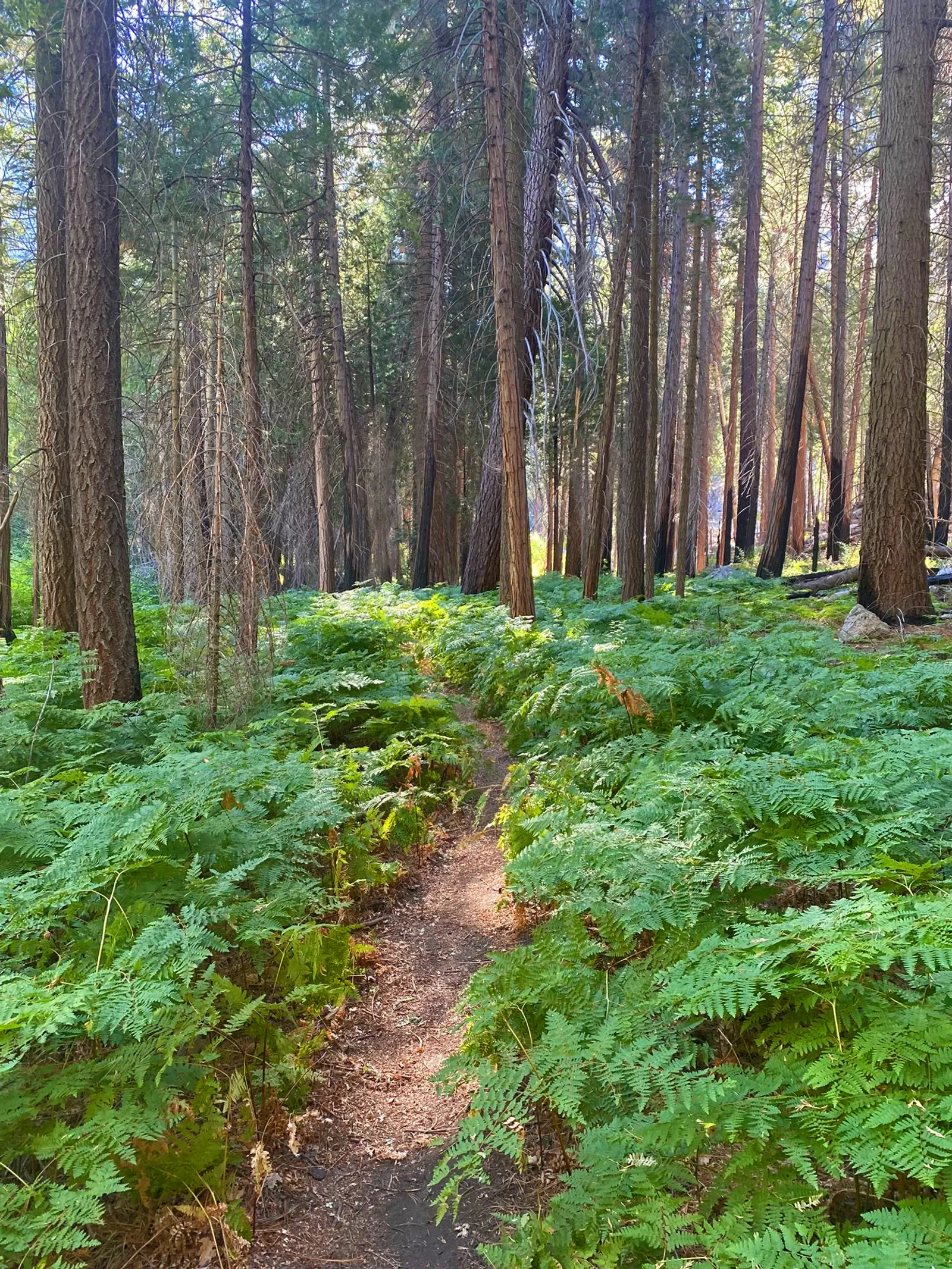
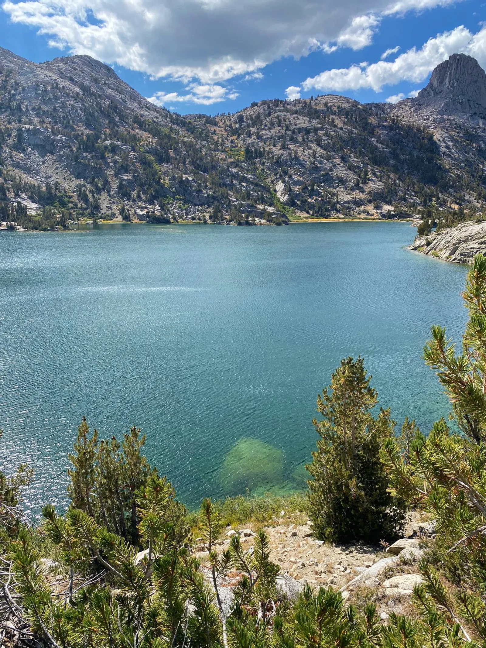
Within a couple of hours I had descended past Arrowhead and Dollar Lakes. I eventually set up camp a few miles south of the Woods Creek Trail junction.
Day 3: Somewhere on John Muir Trail back to car (about 15 miles)
By the third day I was well ahead of schedule, and with all of the climbing behind me I knew that I would likely finish the loop by late afternoon. I could have shortened my mileage that day to enjoy another day in the back country, but I prefer to hike dawn-to-dusk on solo trips.
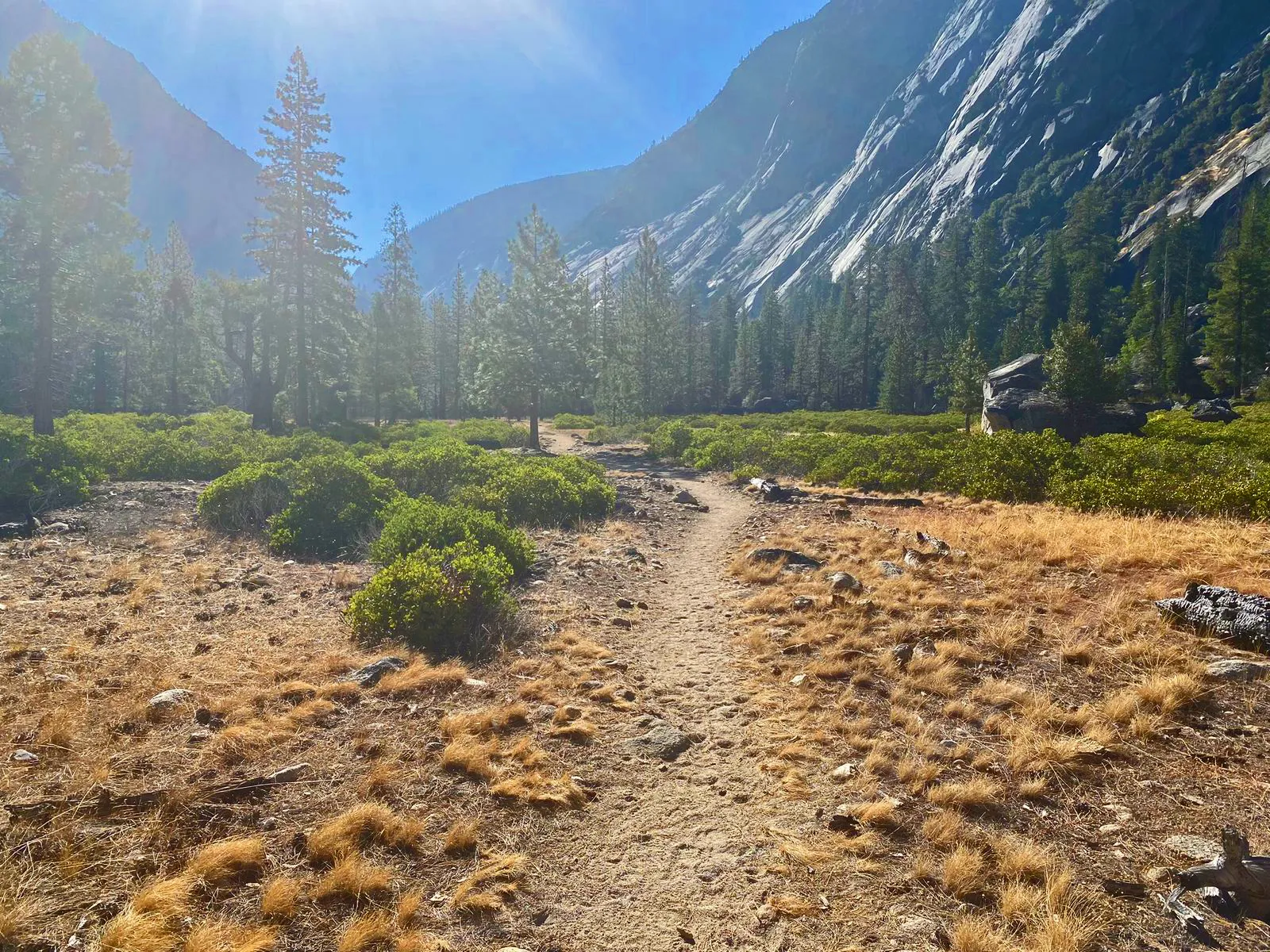
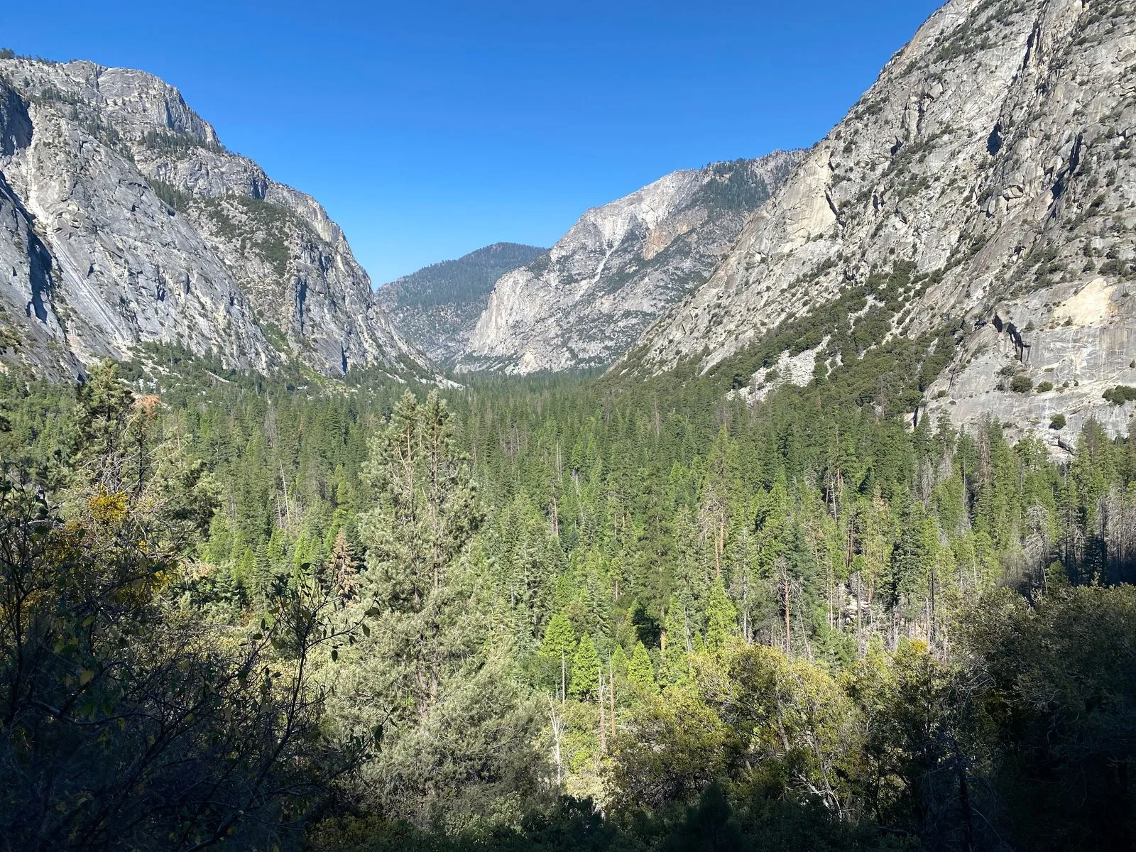
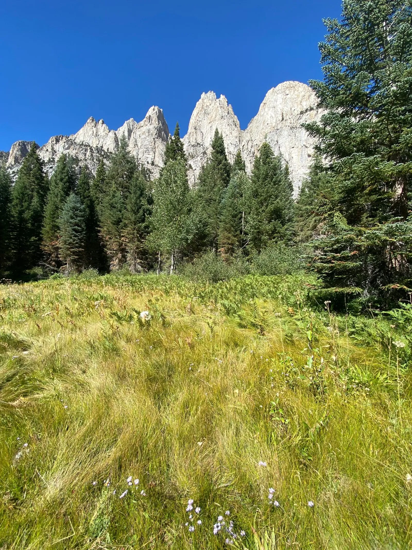
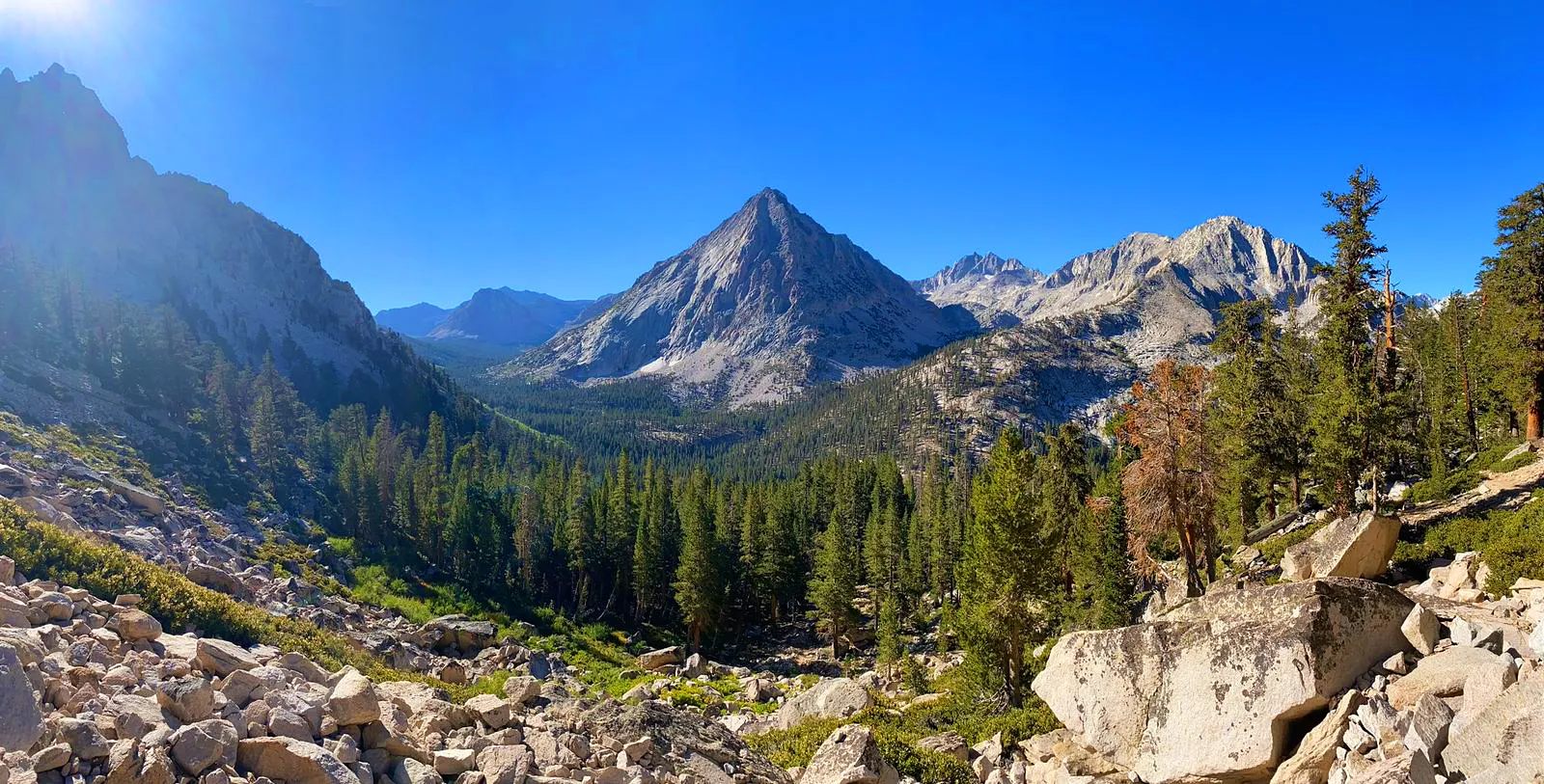
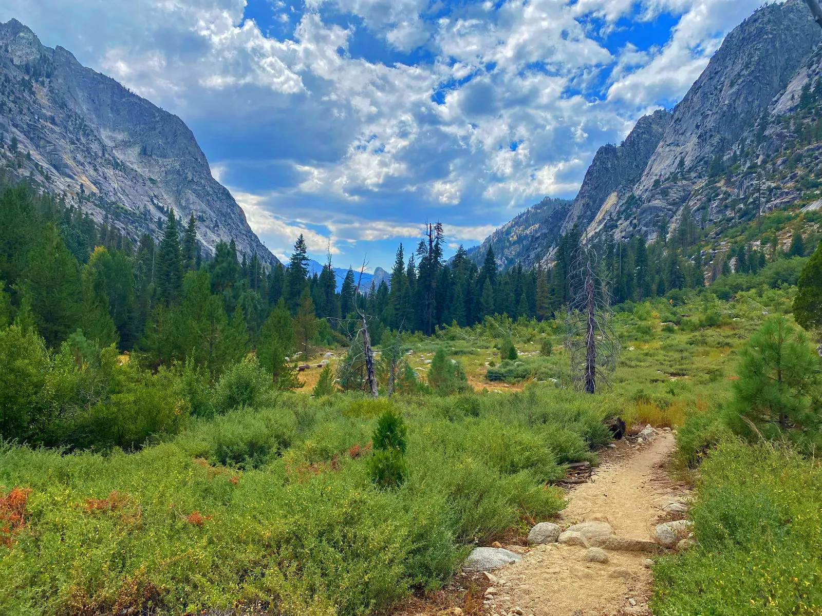
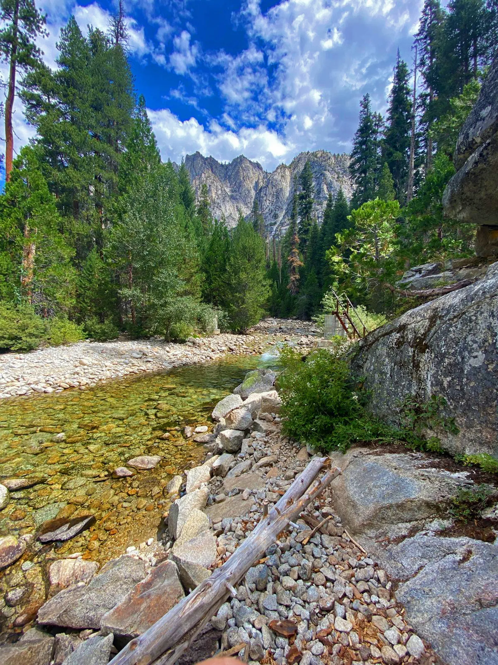
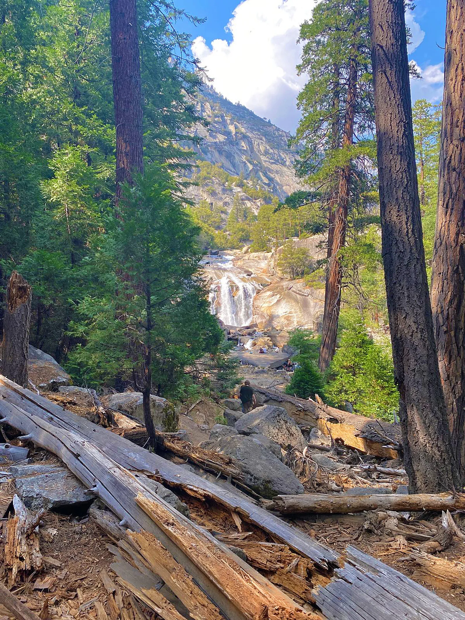
The final set of photos are various shots of Upper, Middle, and Lower Paradise Valleys, each one many hundreds of vertical feet lower than the one before. Lower Paradise Valley, with its gorgeous stream and meadows, seemed like a good candidate for a one night out-and-back trip to take the family on someday—until I made the final descent down what seemed like endless steps past Mist Falls to the valley floor. My family would kill me if I asked them to climb something like that while carrying overnight packs. Several of the photos are pretty hazy due to smoke from the 14,000 acre Coffee Pot Wildfire that was burning in nearby Sequoia National Park at the time.

I reached the trailhead around 4:00pm and went to inquire about a shower at the nearby Cedar Grove Lodge. Due to a shortage of shower tokens, I had to make the 4-5 hour drive home covered in three days’ worth of dirt and grime. I’m glad nobody was in the car with me that night.