Vow of Poverty
This blog contains no affiliate links, and I have no financial interest in any of the products or services that might be mentioned. If you click on a link and end up paying money to someone, rest assured that I won’t see a single cent of it.
Overview
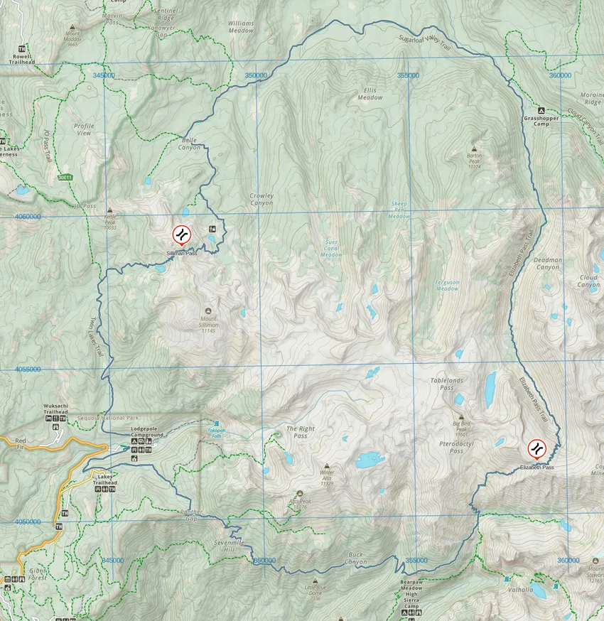
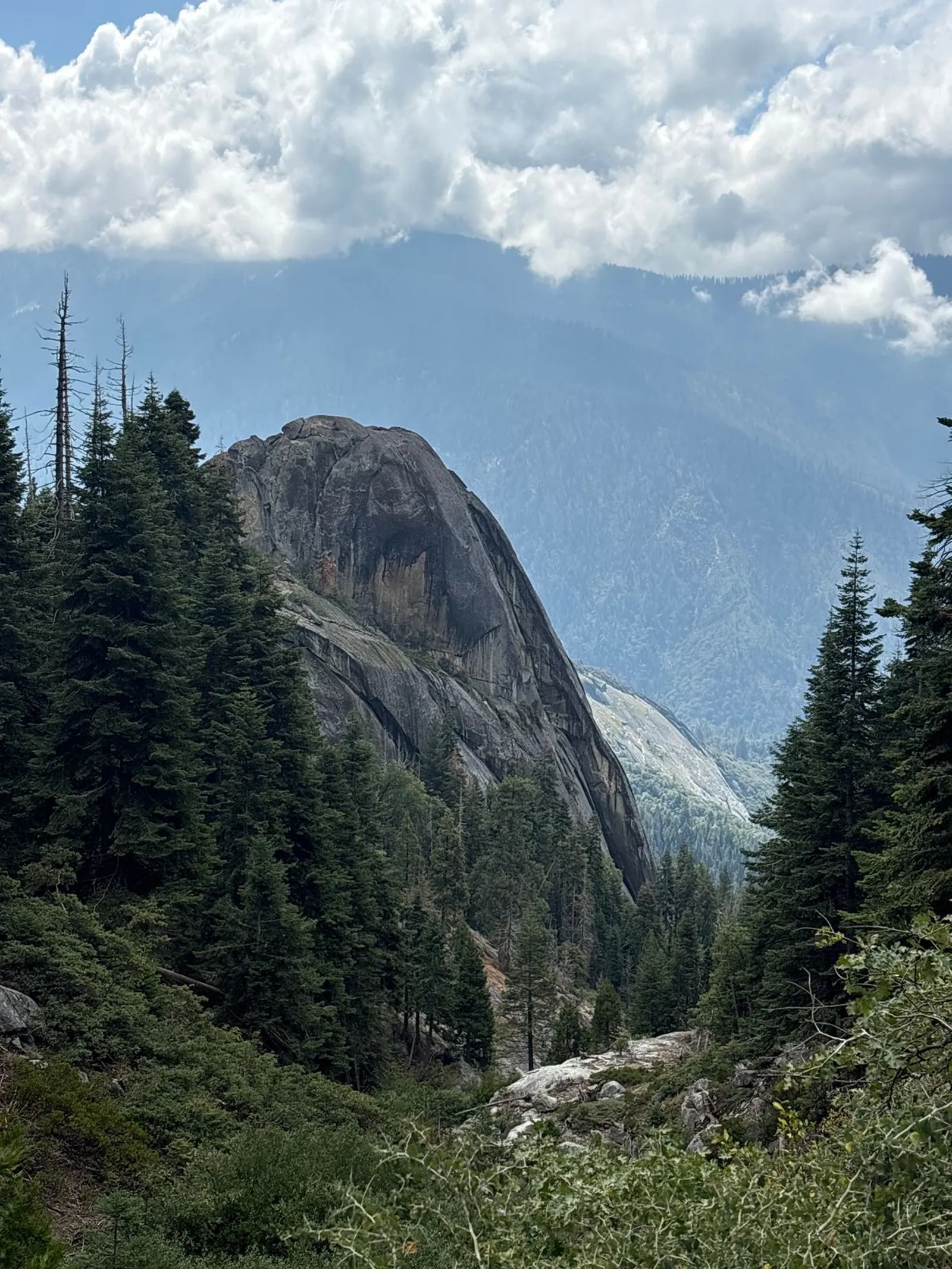
This loop, not to be confused with a better-known (and much longer) “Big Sequoia Loop,” is a 50-mile clockwise loop that starts and ends near the Lodgepole Visitor Center in Sequoia National Park, as shown on the map below on the bottom left. The elevation ranges from about 6,700ft at the trailhead to around 11,400 ft at the top of the daunting Elizabeth Pass. With minor detours, the total length was probably about 51 miles.
Compared to my earlier South Lake Loop trip, which had considerably more mileage and elevation gain/loss, along with constant inclement weather, I assumed this trip would be much easier. It turned out to be much more difficult in several respects. I finished it in three days.
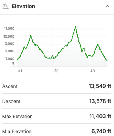
Elevation profile, if hiking clockwise.
Day 1: Lodgepole Visitor Center to Ferguson Creek (19 miles)
After staying in the Lodgepole campground the night before, I picked up my permit around 7:00AM, then drove around for about 20 minutes looking for the parking lot for the Twin Lakes trailhead about a mile away. It turned out that I should have parked at the visitor center, right where I started. Live and learn.
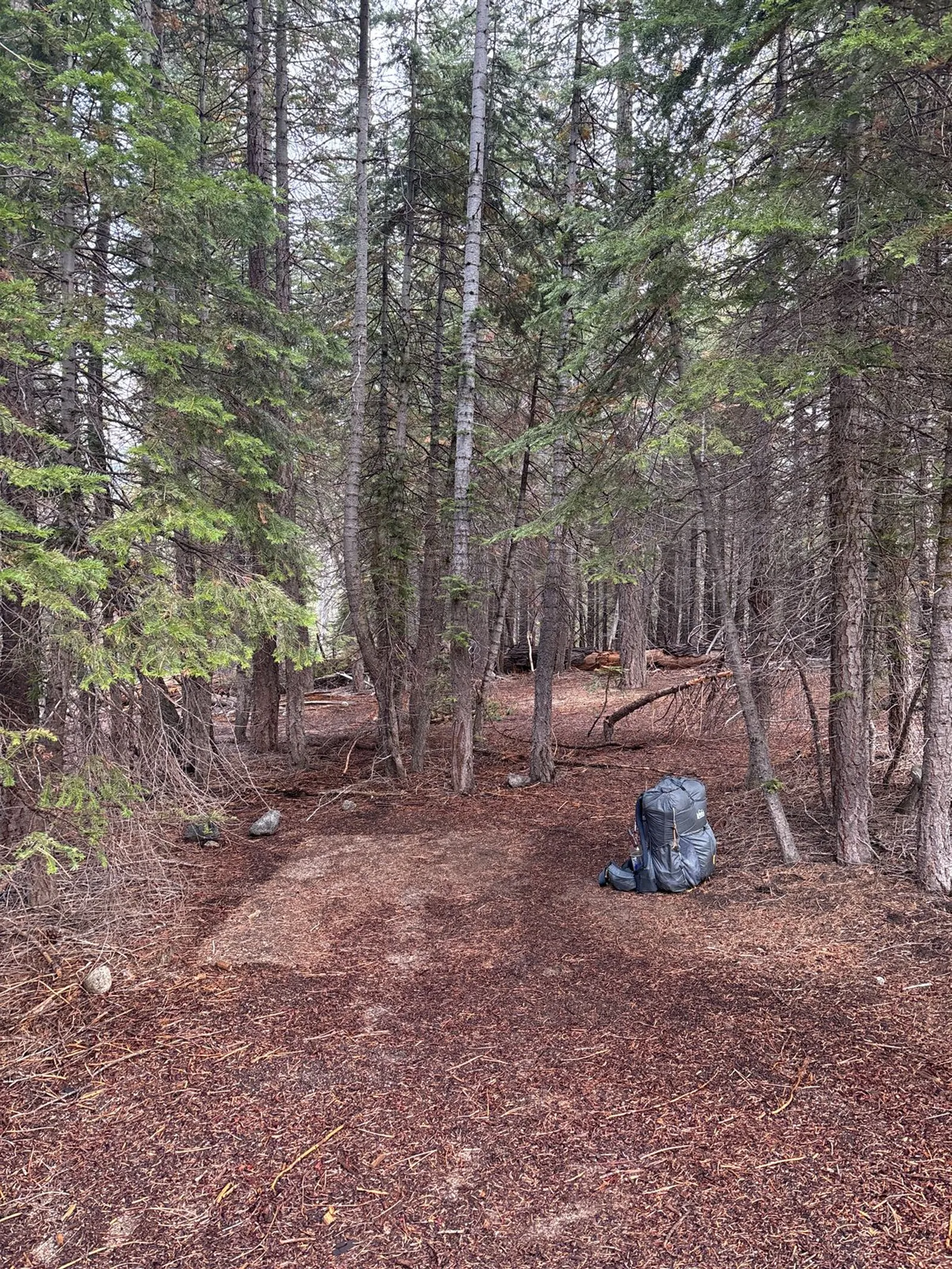
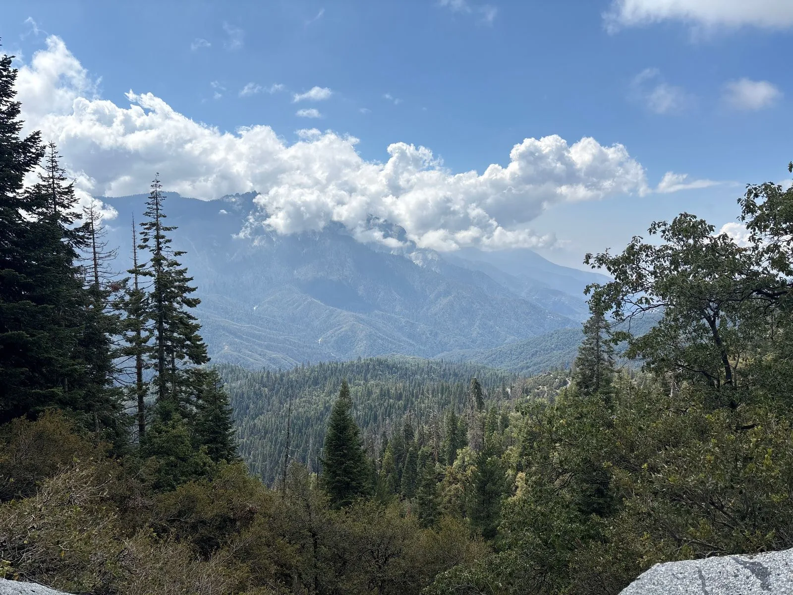
I didn’t take any photos until I reached the Twin Lakes about 7 miles up the trail. Don’t get me wrong, I like trees as much as the next person, but Sequoia isn’t exactly the most photogenic park. (By the way, all photos were taken on an iPhone 16, non-Pro model.)
While I was having a quick breakfast along the trail, a couple of other backpackers approached from the opposite direction. They were just finishing up their trip, and told me that the marmots had shredded one of their sleeping bags while they were away from camp. I’ve always been afraid to leave my gear unattended for long, especially on solo trips. This was a good reminder of why.
Rant
There are at least three sets of lakes in the Sierras named “Twin Lakes.” It’s like naming a waterfall “Bridal Veil Falls.” What’s worse, they look nothing like each other. Seriously, what the hell.
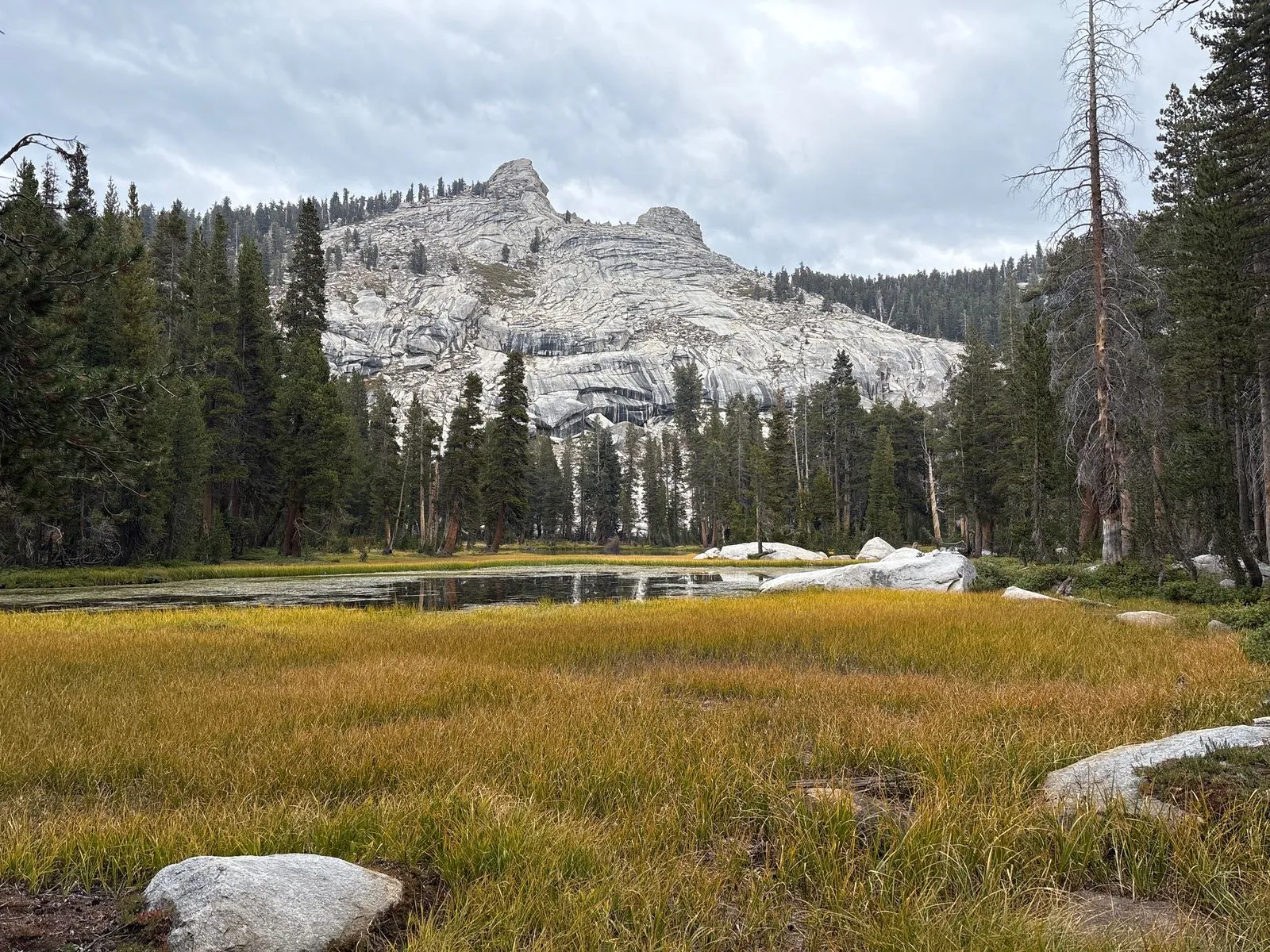
After taking a break at the lake, I climbed about 600 vertical feet over Silliman Pass. Compared to the passes I had climbed on my previous trip, it was a walk in the park. It was raining lightly off and on, but I don’t recall there being any lightning. As soon as I crested the pass and started my descent, the scenery changed from forest to barren granite. I believe I had crossed the boundary into Kings Canyon National Park, but I can’t be arsed to find out for sure.
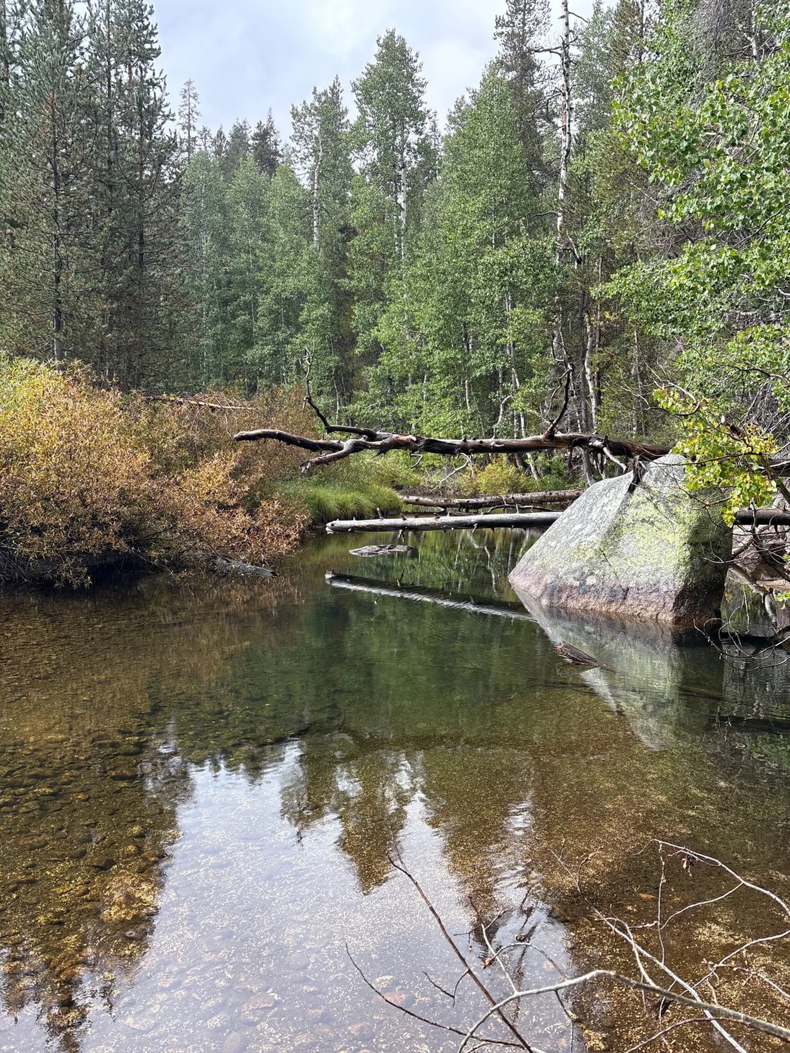
I took another break at Ranger Lake a few hundred feet below. I took a closer photo of the lake, but it isn’t worth sharing. Can you guess why they call it Ranger Lake? I didn’t think so. It’s because a park ranger lives there!
I continued on about 10 more miles to Ferguson Creek, where I set up camp for the night. It was a nice hike, but again not the most photogenic. There was moderate rain off and on throughout the day, but nothing too bad. It seemed that this trip would indeed be a breeze, as expected. The next day would prove otherwise.

Day 2: Ferguson Creek to Lone Pine Creek (17 miles)
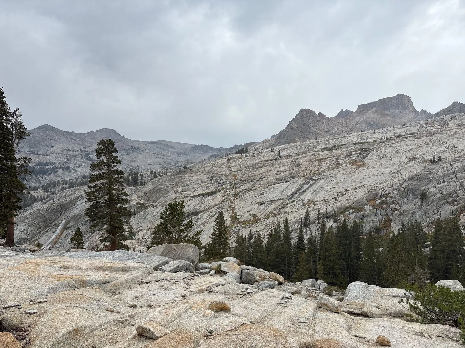
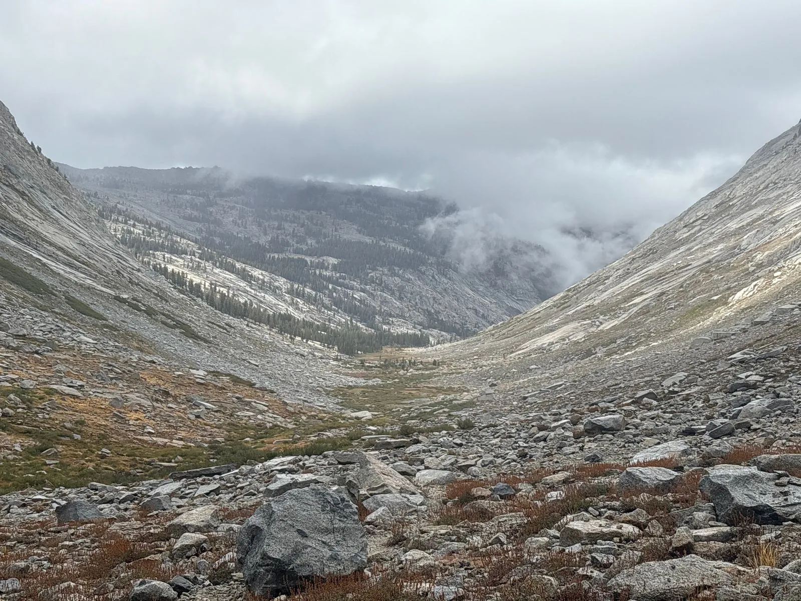
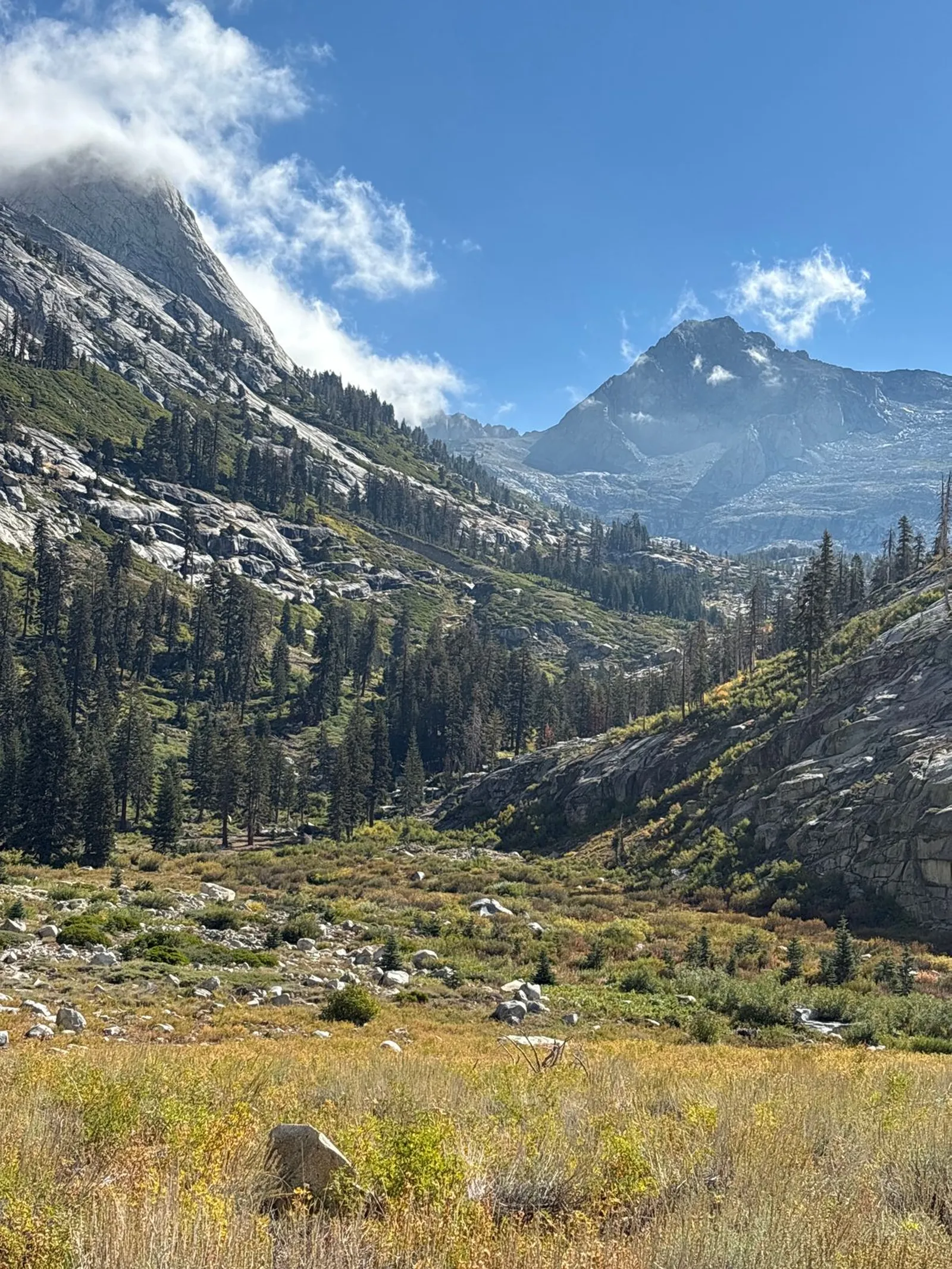
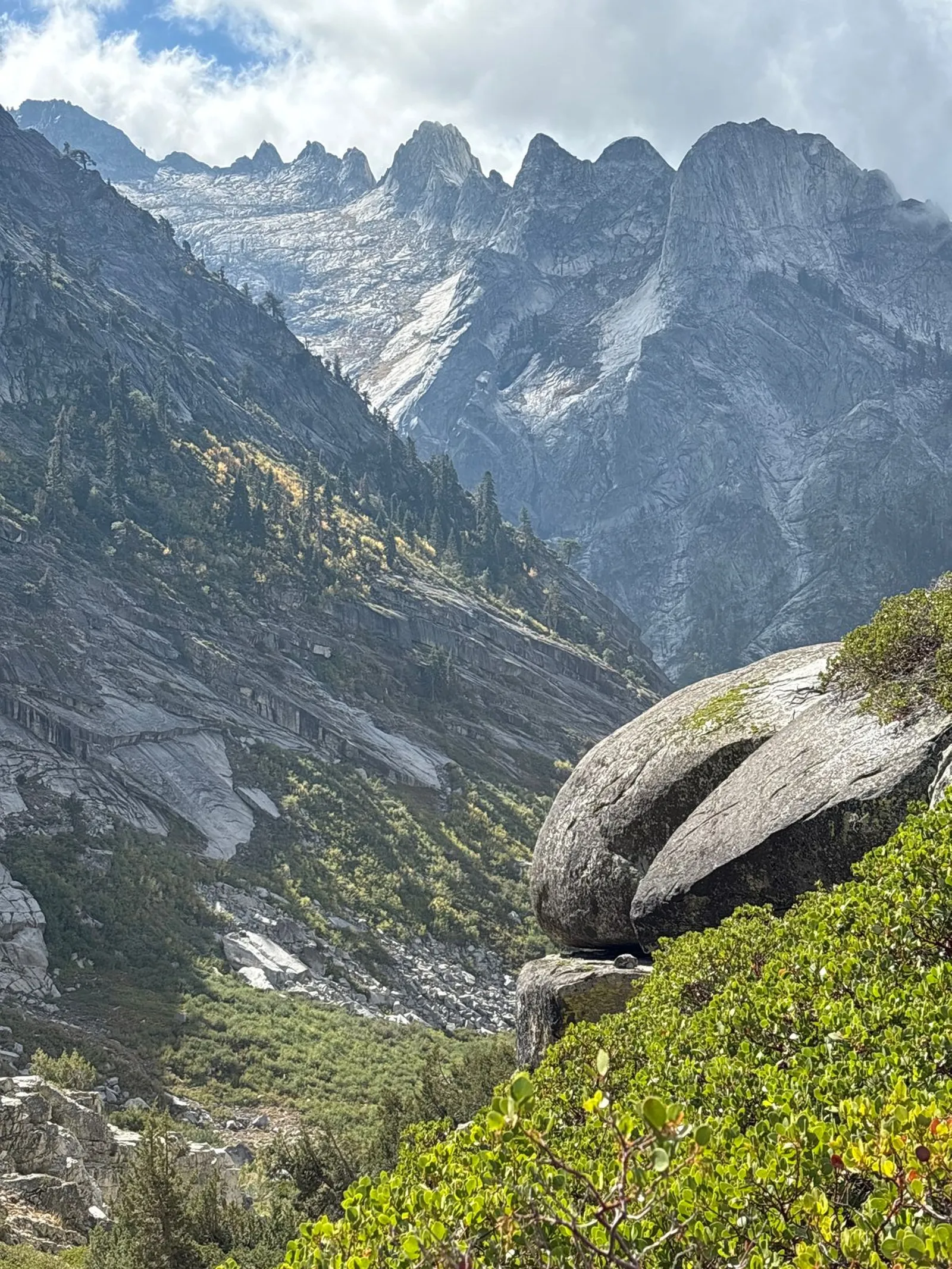
I had an uneventful night, and in the morning set off on my way south toward Elizabeth Pass about 13 miles away. I passed Roaring River and entered a canyon, where I would gradually ascend for several miles towards the base of the pass. It was around this time that I started to notice something I hadn’t experienced on any previous trip. Although the rain wasn’t heavy, it was just enough to soak the vegetation, which had overgrown the trail in many places. As I waded through the brush, the wet leaves dumped loads of water onto my shoes. Before long they were as drenched as they would have been if I had been slogging through a stream the whole time.
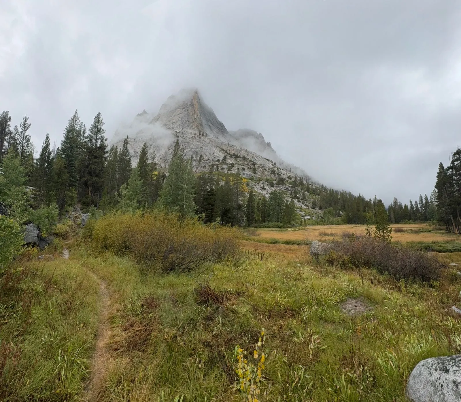


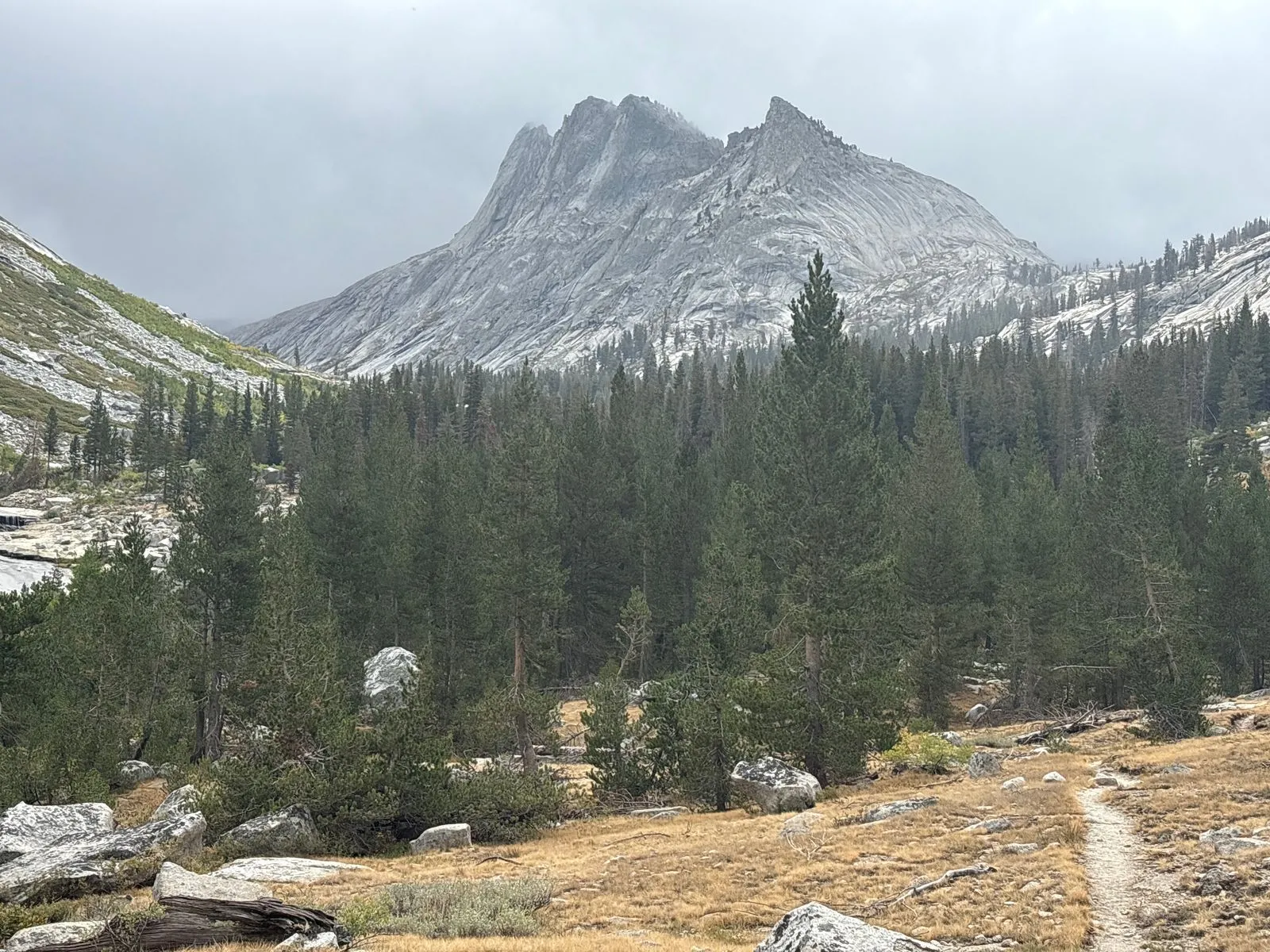
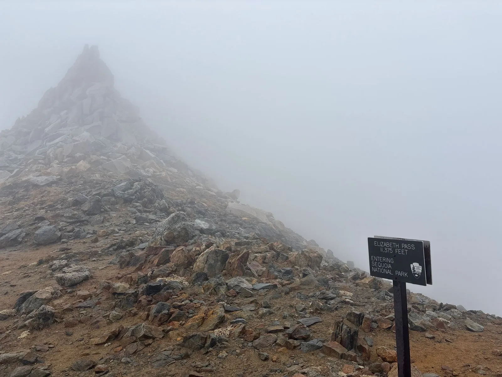
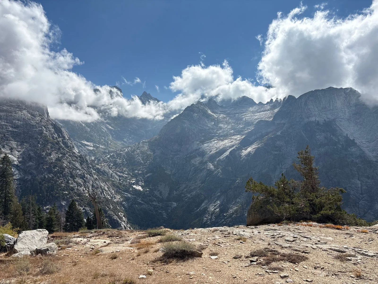
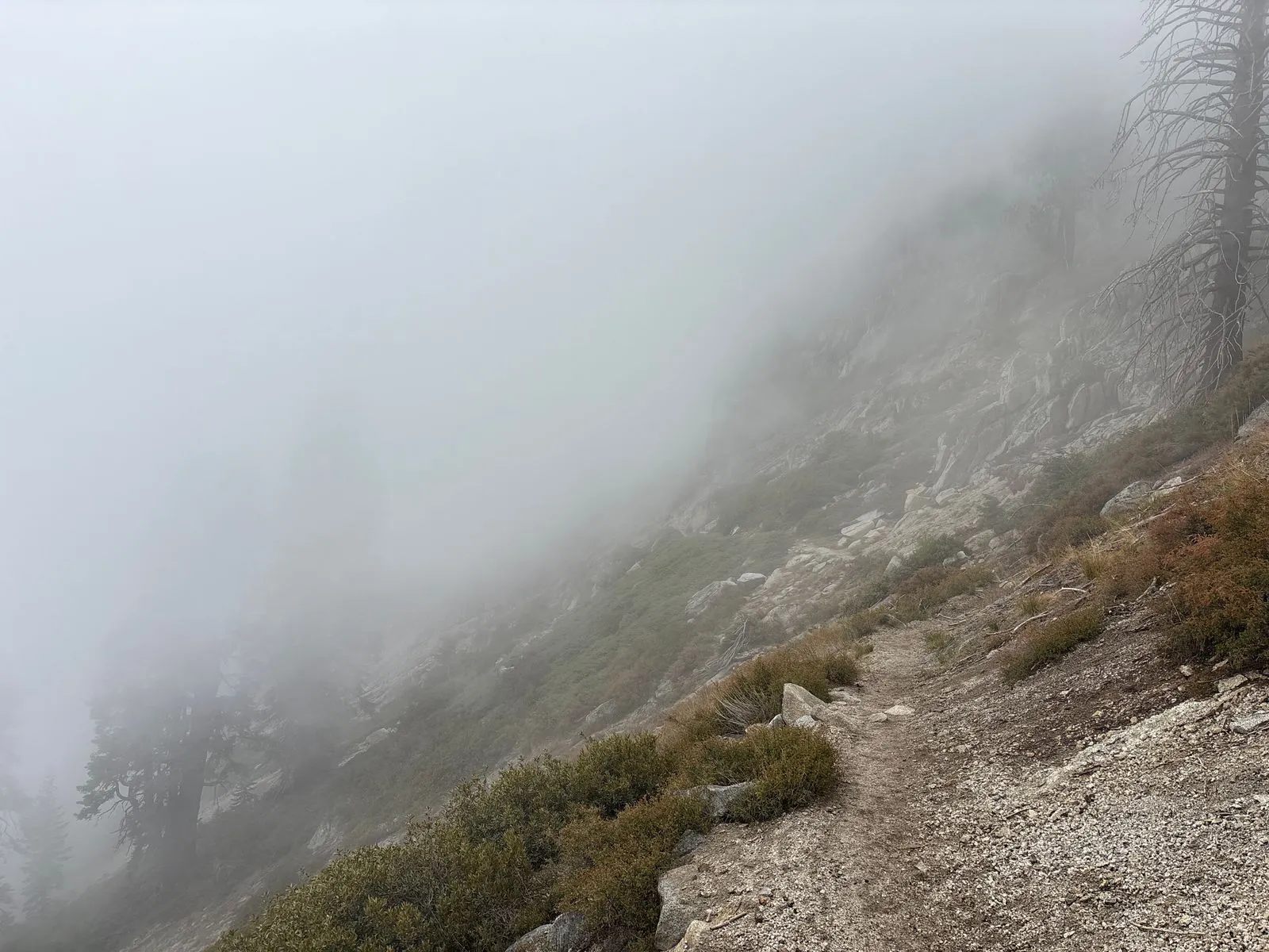
Elizabeth Pass
I didn’t get many good photos of the pass itself, as it was pretty fogged in during the ascent. It was here that I learned another valuable backpacking lesson. Although the total elevation gain for this trip was much less than previous trips, I hadn’t looked closely enough at the individual segments. Although it’s unlikely that it would have affected my plans, it would have been good to know in advance just how strenuous this pass would be. The final steepest section, which followed miles of climbing, gained close to 2,000 vertical feet in about 2 miles, for a total of over 4,000 feet over the preceding 12 miles or so. There was a waterfall a few hundred feet high at the bottom of the pass. Once I reached the top of it, my climb was just beginning.
It was also here that I noticed my overreliance on my iPhone for navigation. The fog was so thick, and the trail so poorly defined, that I had to stop and check my location frequently. I grew up backpacking with a map and compass, but the convenience of the phone had turned my brain to mush.
Although the phone worked fine, I realized about halfway up the pass that, had it failed, then a wrong turn of about 30 degrees in either direction could have easily led me over the top of the ridge and then plunged me down into unknown terrain. I probably would have descended quite a long ways before realizing I was off course. I therefore switched to taking compass bearings whenever I checked my location, and relied on that to keep me on track.
The top of the pass was freezing cold and windy, and I had to quickly don most of my layers before descending a steep switchback into the fog towards the valley below. I definitely will be packing gloves on future trips that involve high passes.
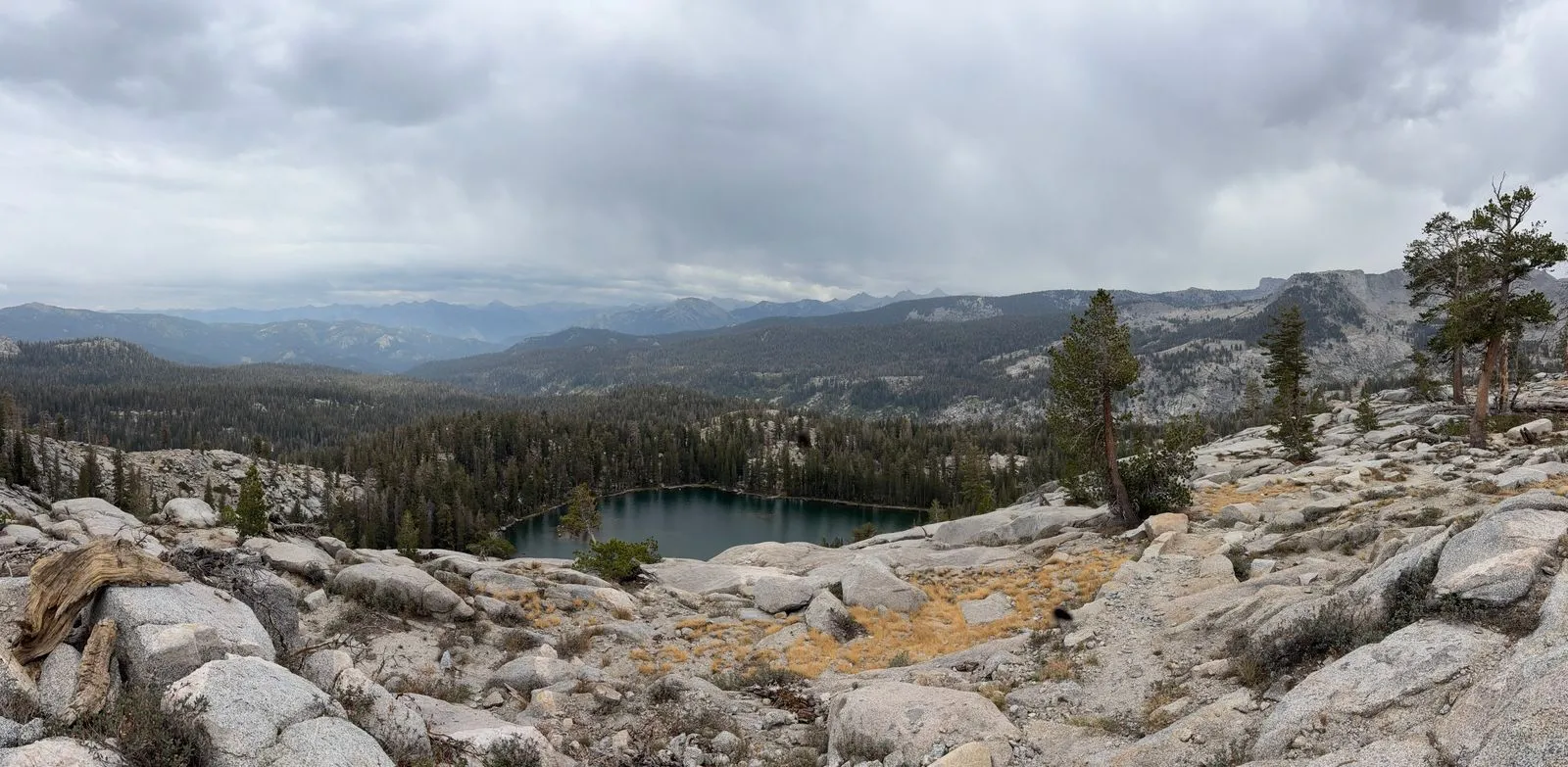
Lone Pine Meadow
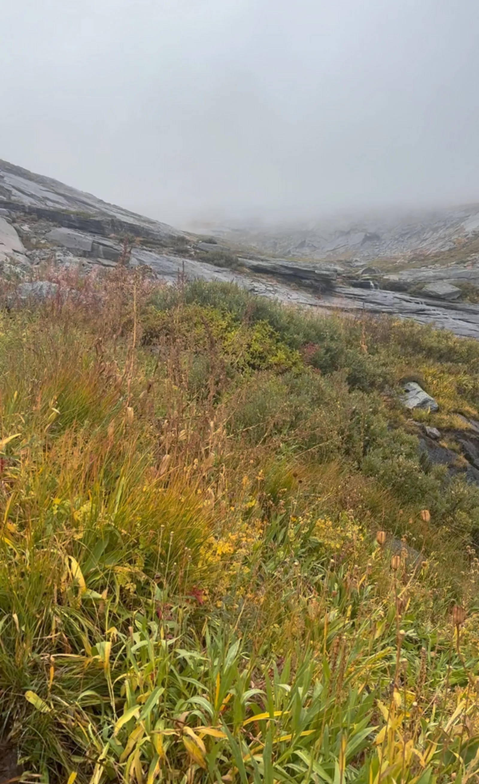
About halfway down to Lone Pine Meadow, I passed a flat spot which I had marked as a potential campsite on my map. It was late afternoon, and the visibility was poor due to the fog and the surrounding mountains blocking the sun. I would have set up camp there, but I soon discovered that the ground was not at all suitable for it. It was covered in huge grassy clumps, each about a foot high and a few inches apart. I briefly considered pitching my tent on a relatively exposed rock slab, but decided to continue on to Lone Pine Meadow instead. It was only a couple more miles, but it was difficult to gauge how much time it would take. If the trail was overgrown, as it had been for much of the day, it could take a long time. I decided that it was an acceptable risk. I could use my headlamp if necessary, and safely camp on an incline if I had to, using my tent as a bivy sack. The situation wasn’t ideal, but it didn’t pose any serious survival risk.
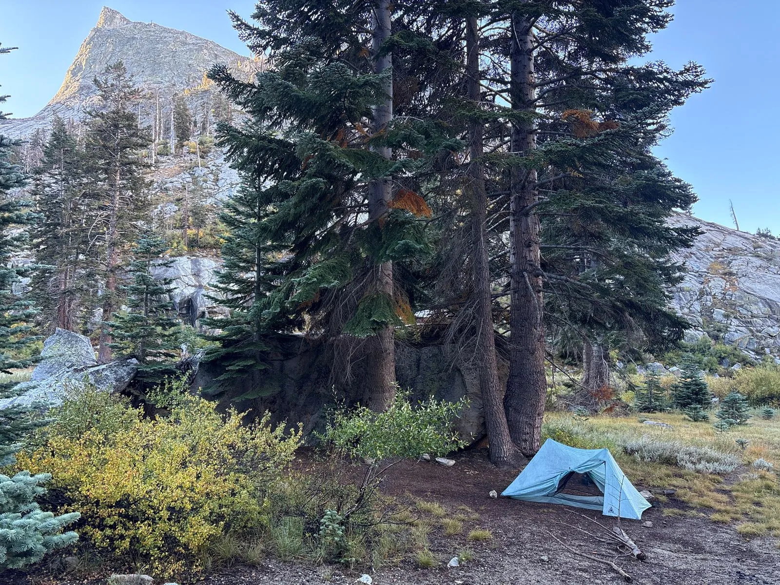
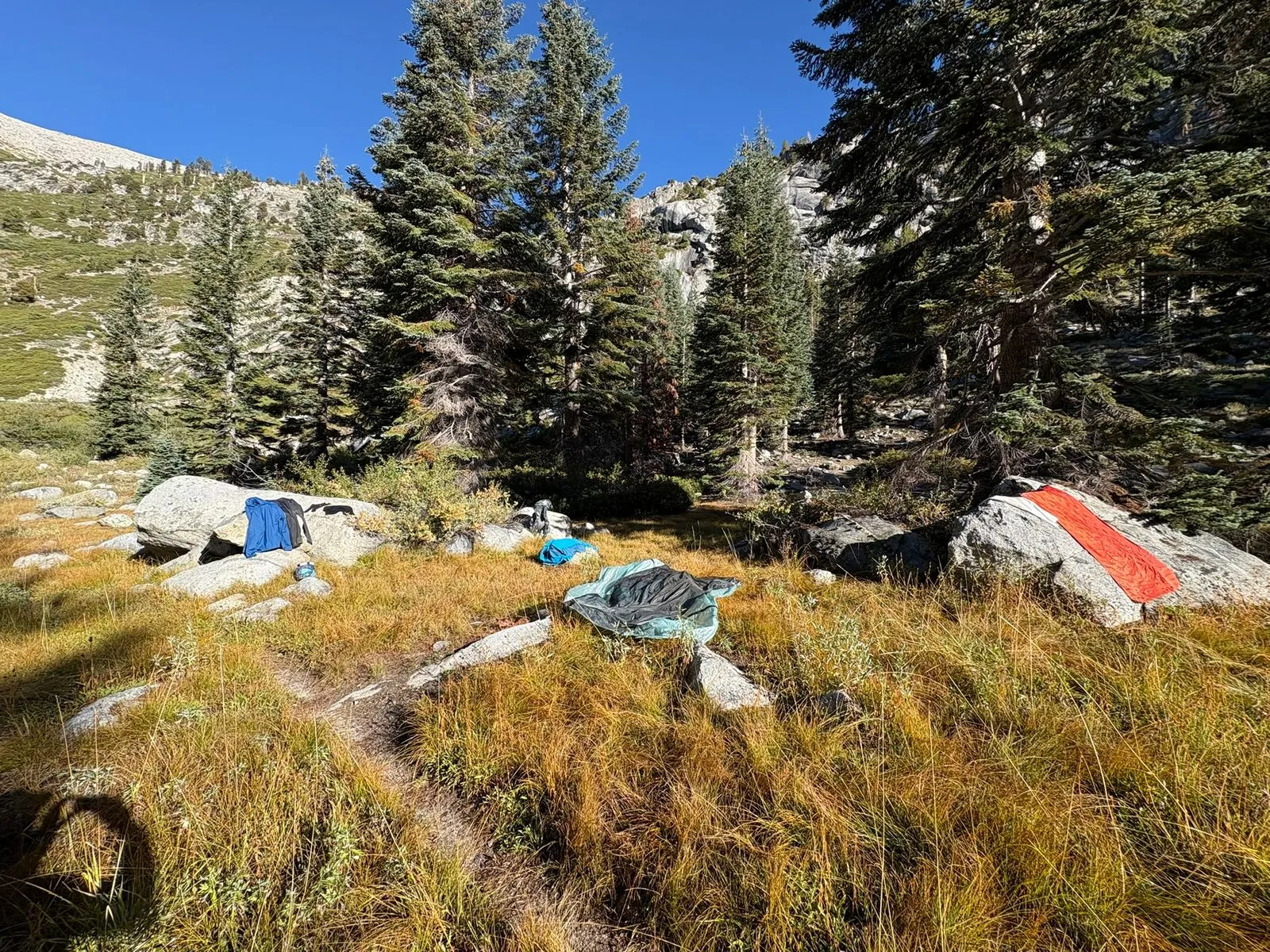
Fortunately the trail down was in good condition. Every time I passed a suitable campsite, I marked it on the iPhone map in case I needed to return to it. When I reached the meadow, I made about a half a mile detour towards Tamarack Lake, where I found an excellent campsite that was nicely sheltered by some huge boulders and surrounded by trees. By the time I finished setting up camp and cooking dinner, it was dark.
Day 3: Lone Pine Creek to Lodgepole Visitor Center (15 miles)
The next morning saw decent weather, so I spent a couple of hours trying to dry out my soaked gear. I was successful with everything except my socks. I padded around the grass on bare feet while trying to dry both pairs in the sun, with little success. Wool socks are great for keeping your feet warm when wet, but they take forever to dry.
The Sierra Trail was fairly level for most of the way, with mostly decent weather. On the final steep climb to Mehrten Meadow, my wet socks were finally starting to cause blisters in several places. Thanks to Andrew Skurka’s blister prevention tips, I was able to patch them up and finish the trip without too much discomfort.

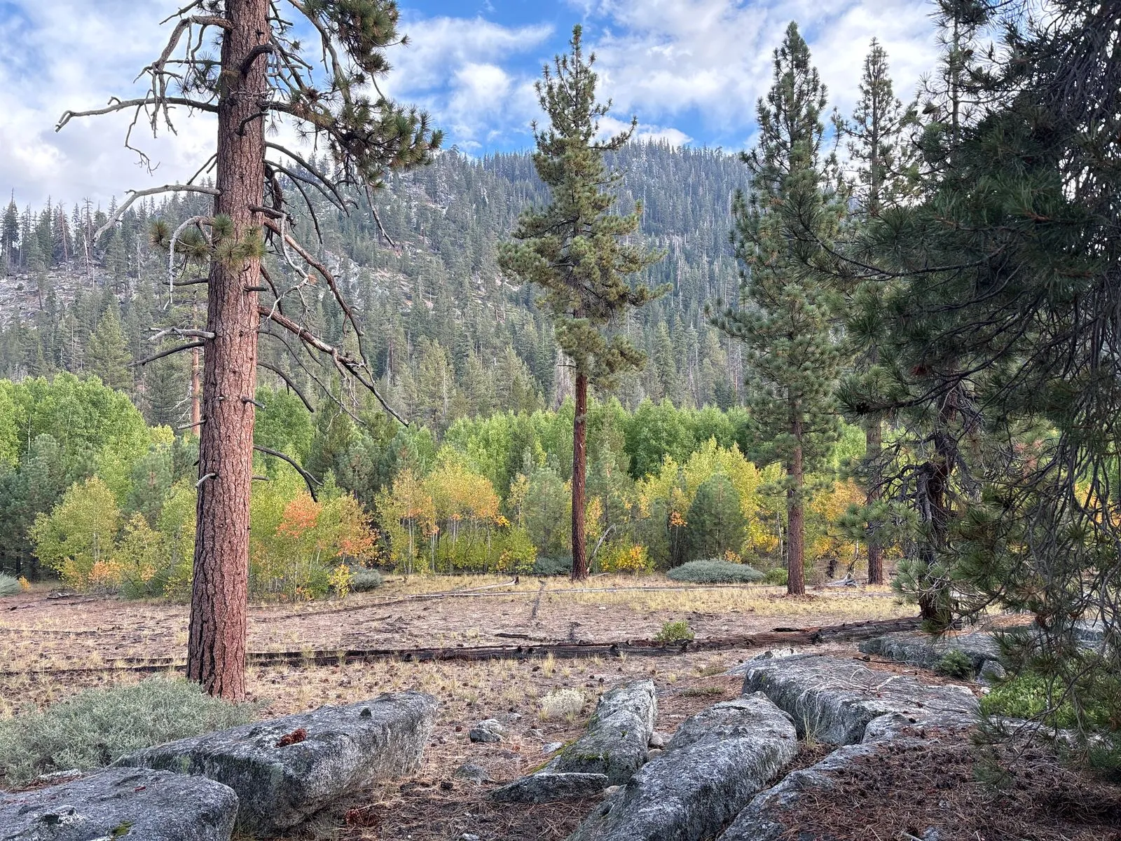
A few miles from the Lodgepole Visitor Center, the number of day hikers increased significantly, and I was rarely alone. When I reached the car in the early afternoon, I went to inquire about a shower at the visitor center, but decided to drive home stinky when I saw how long the line was.
After I returned home, I did some research to see if I could replace my slow-to-dry wool socks with something better. According to the ever-knowledgeable Andrew Skurka again, I learned that on a trip like that one, there is really no good way to keep your feet dry. The best mitigation is to liberally apply climber’s salve to prevent them from absorbing too much moisture. I look forward to trying it on a future rainy trip.