Vow of Poverty
This blog contains no affiliate links, and I have no financial interest in any of the products or services that might be mentioned. If you click on a link and end up paying money to someone, rest assured that I won’t see a single cent of it.
Overview
This trip was an extended version of what others have dubbed the South Lake Loop. It was a 67.5 mile, 5-day, 4-night trek through the High Sierras that started and ended at South Lake near Aspendell, California. With accumulated side wanderings (aka “getting lost”), the total distance was probably close to 70 miles.
The route traversed three passes, passed close by 17 named alpine lakes, and many unnamed ones. I trudged through heavy rain, hail, and thunderstorms for hours every day. It was a terrific experience.
The route

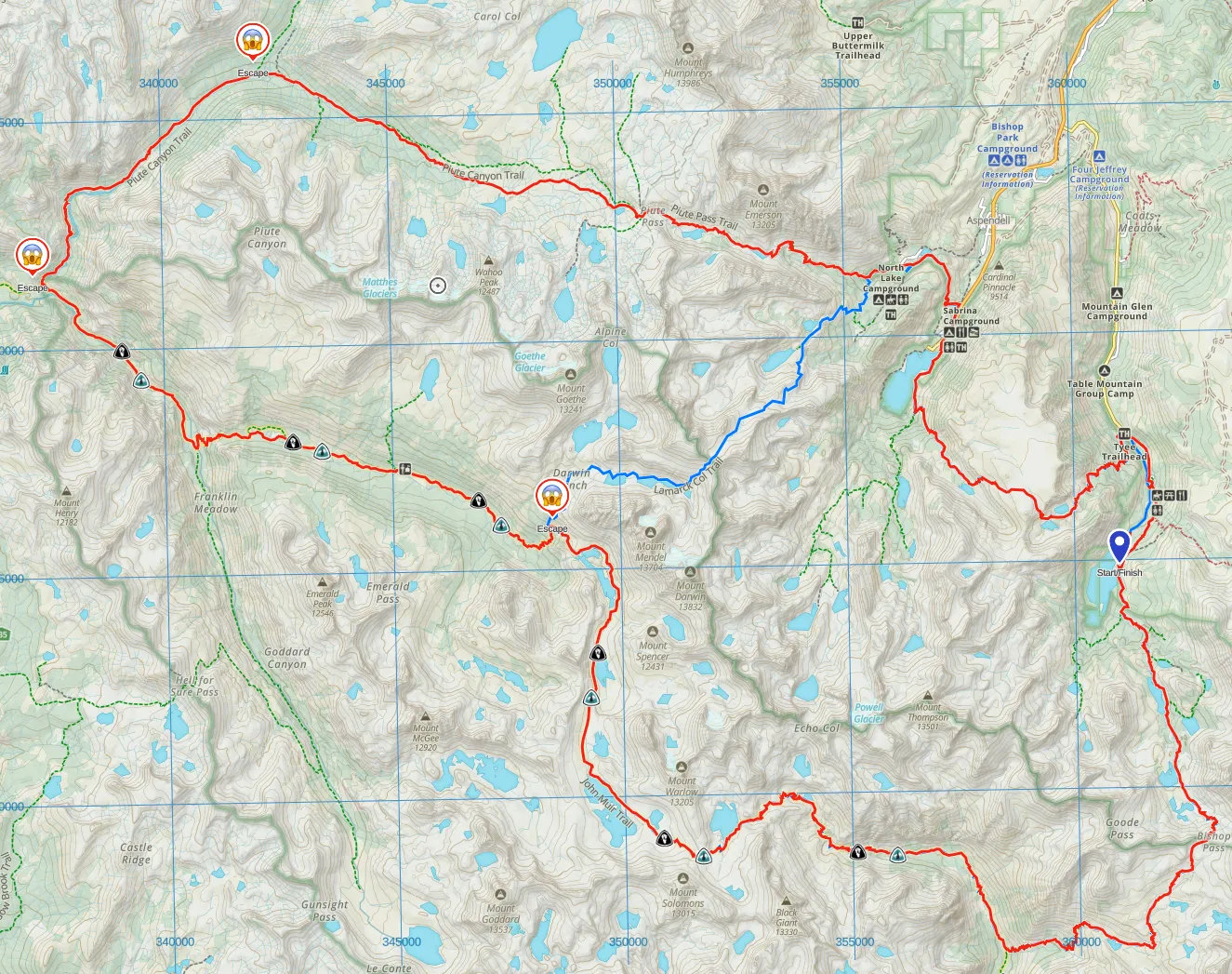

The clockwise loop started and ended at South Lake, which is denoted by the little blue marker on the right side of the map above. The little “screamy person” icons denote possible escape routes that would return to some form of civilization in about a day’s hike, in case of illness, wildfires, or other emergencies. The blue squiggly line that bisects the loop is the unmaintained Lamarck Col Trail, which also would have shortened the trip by a day or two had one needed to bail out early.
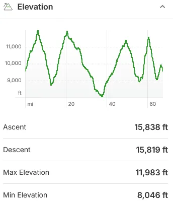
Elevations ranged between about 8,000 feet at the lowest, to about 12,000 feet at the highest point, with several significant climbs and descents along the way. The hardest single day elevation gain was about 3,200 feet.
The Night Before
I live at sea level, so I always try to arrive at the trailhead a day early to allow for some acclimatization and to do a final gear test before heading out. All of the nearby public campgrounds were full. I probably could have found a first-come, first-serve spot in one of them, but just to be safe I reserved a tent site at the Creekside RV Park, at 8,300 ft elevation. Although I was only there for a few hours, I appreciated its clean facilities, private campsites, and strict quiet hours. I would definitely stay there again. I pulled in at around 8pm, set up my tent in the moderate rain, and went to sleep not long after.
First day: South Lake to Big Pete Meadow (15 miles)
I wanted to eat a high-calorie breakfast before starting out, but the two nearby restaurants wouldn’t open until later in the morning, and I wanted to get an early start to tackle Bishop Pass before afternoon thunderstorms rolled in. I made a 40-mile round trip to the nearby town of Bishop for an early breakfast, and then made it back to the trailhead by about 8:30am.
I suppose if I were a real backpacking blogger, I would include a link to the restaurant I ate at, along with a rave review and some menu suggestions. However, since neither of us really cares, I’ll spare you.
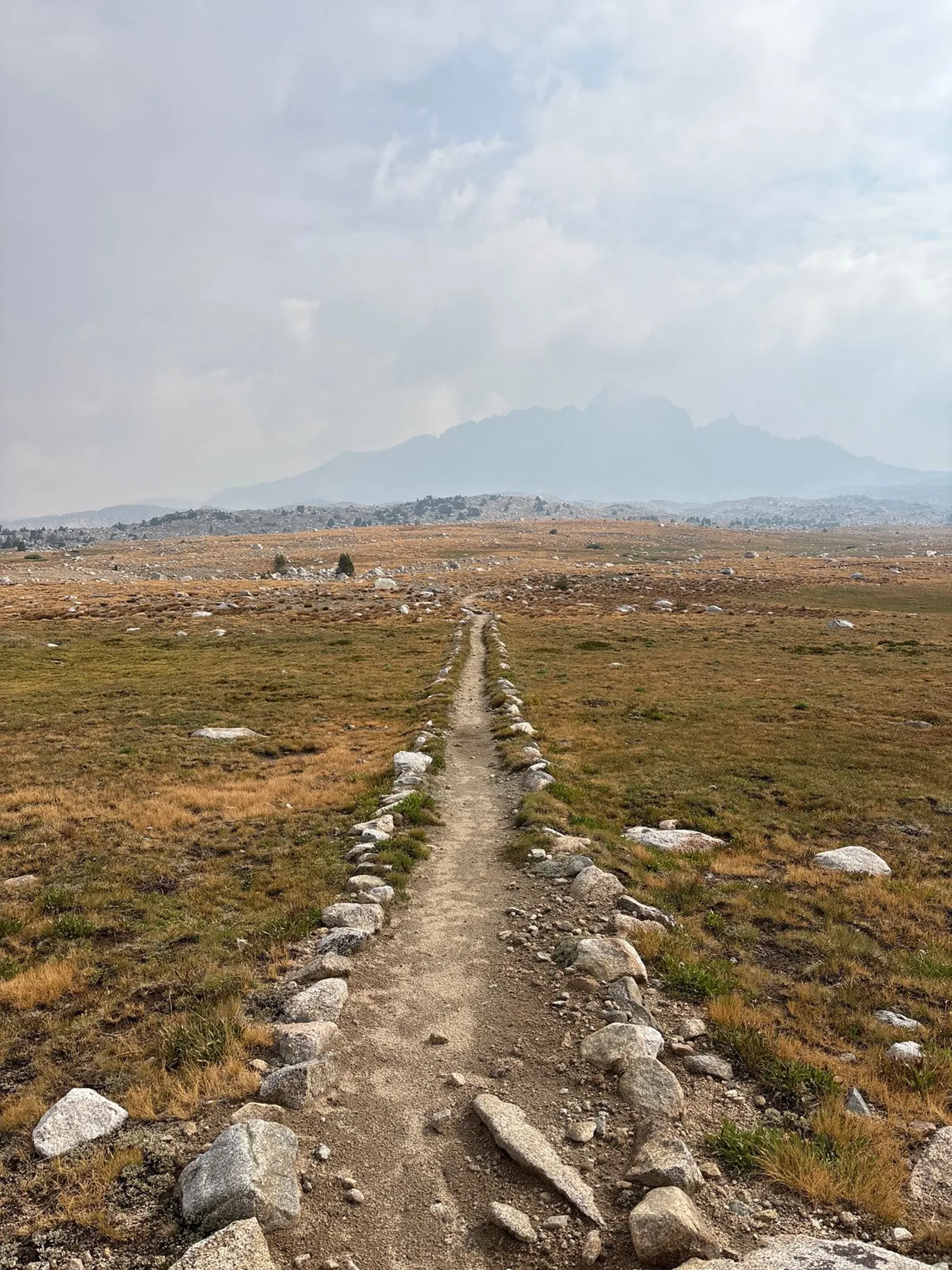
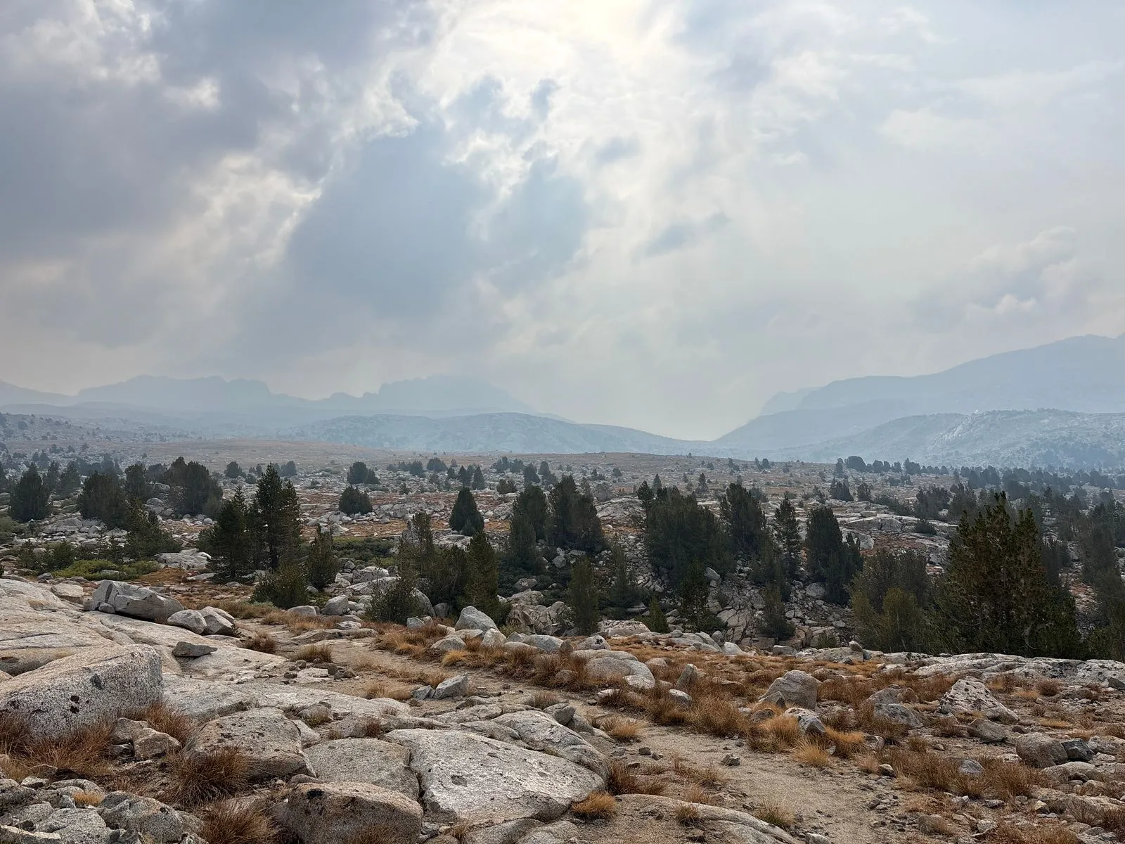
The first few miles were pretty easy, with a gentle climb towards the pass as I headed south. The weather seemed to be holding up, with mostly sunny skies. All photos were taken with an iPhone 16, non-Pro version.
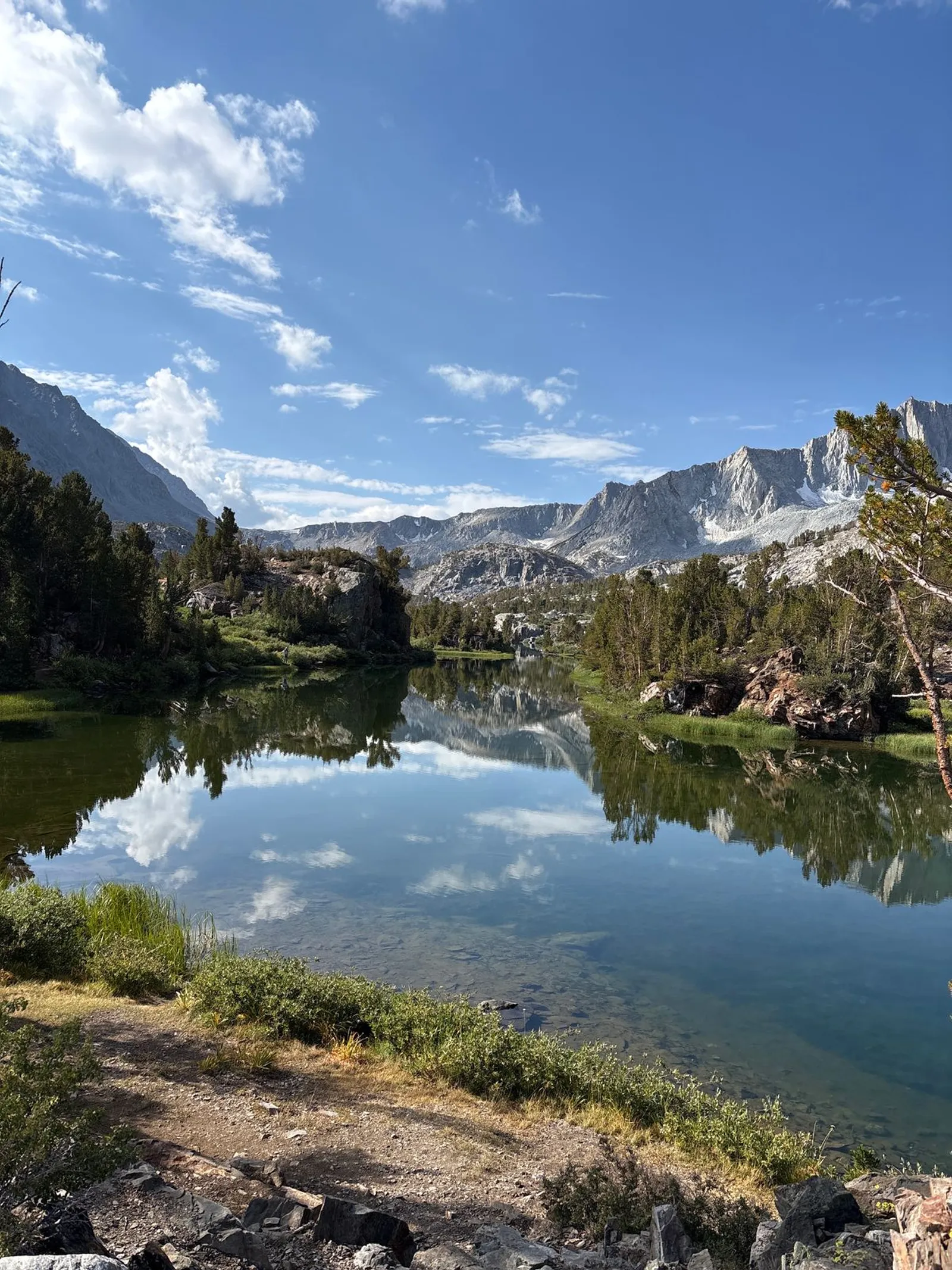
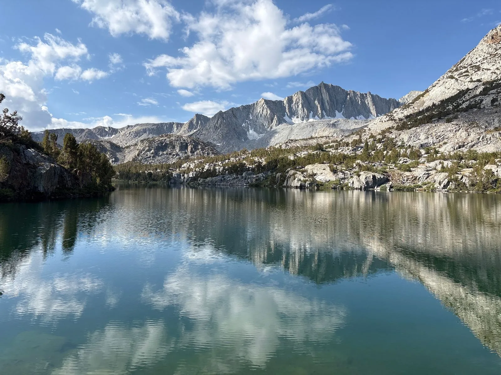
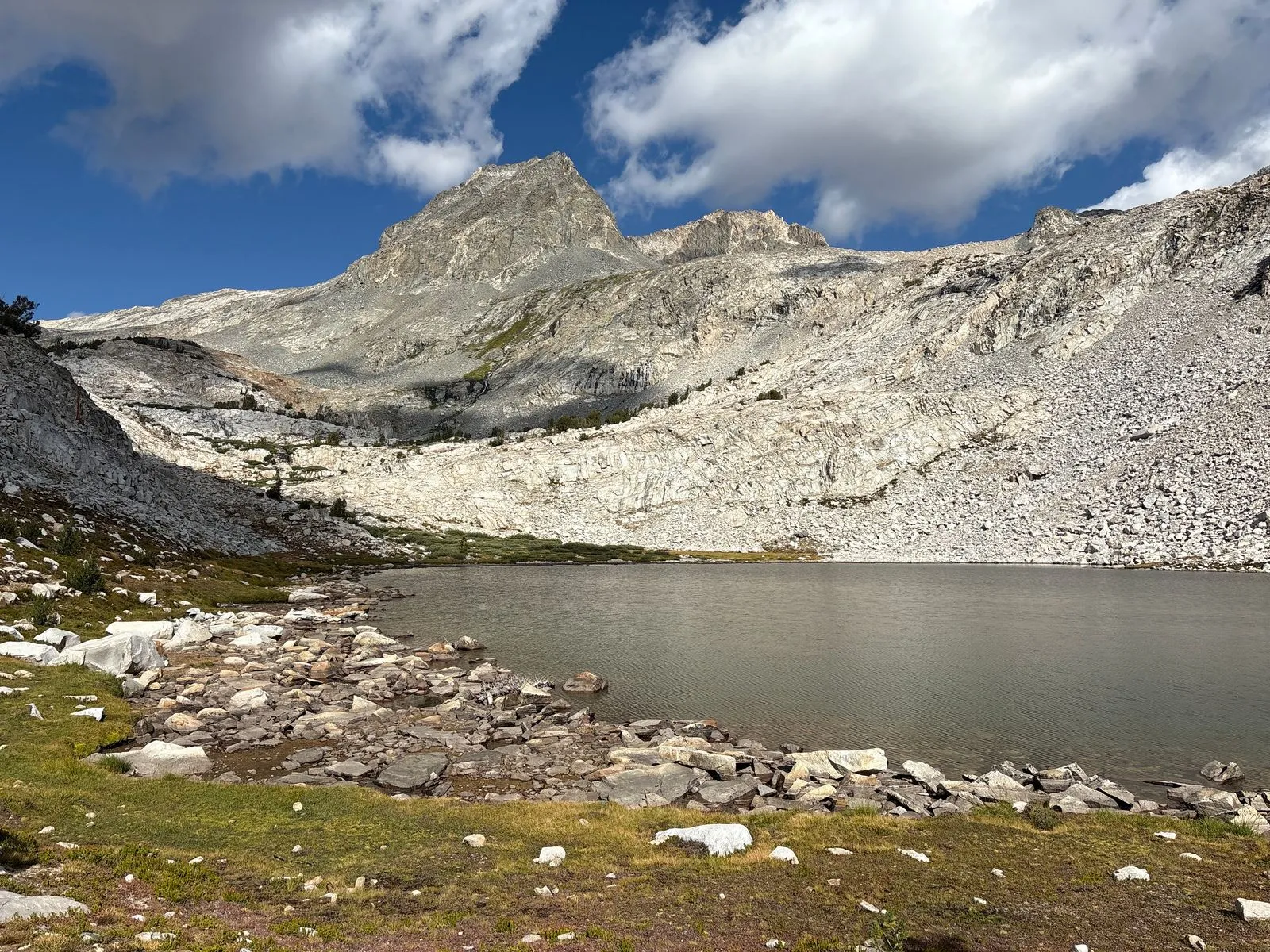
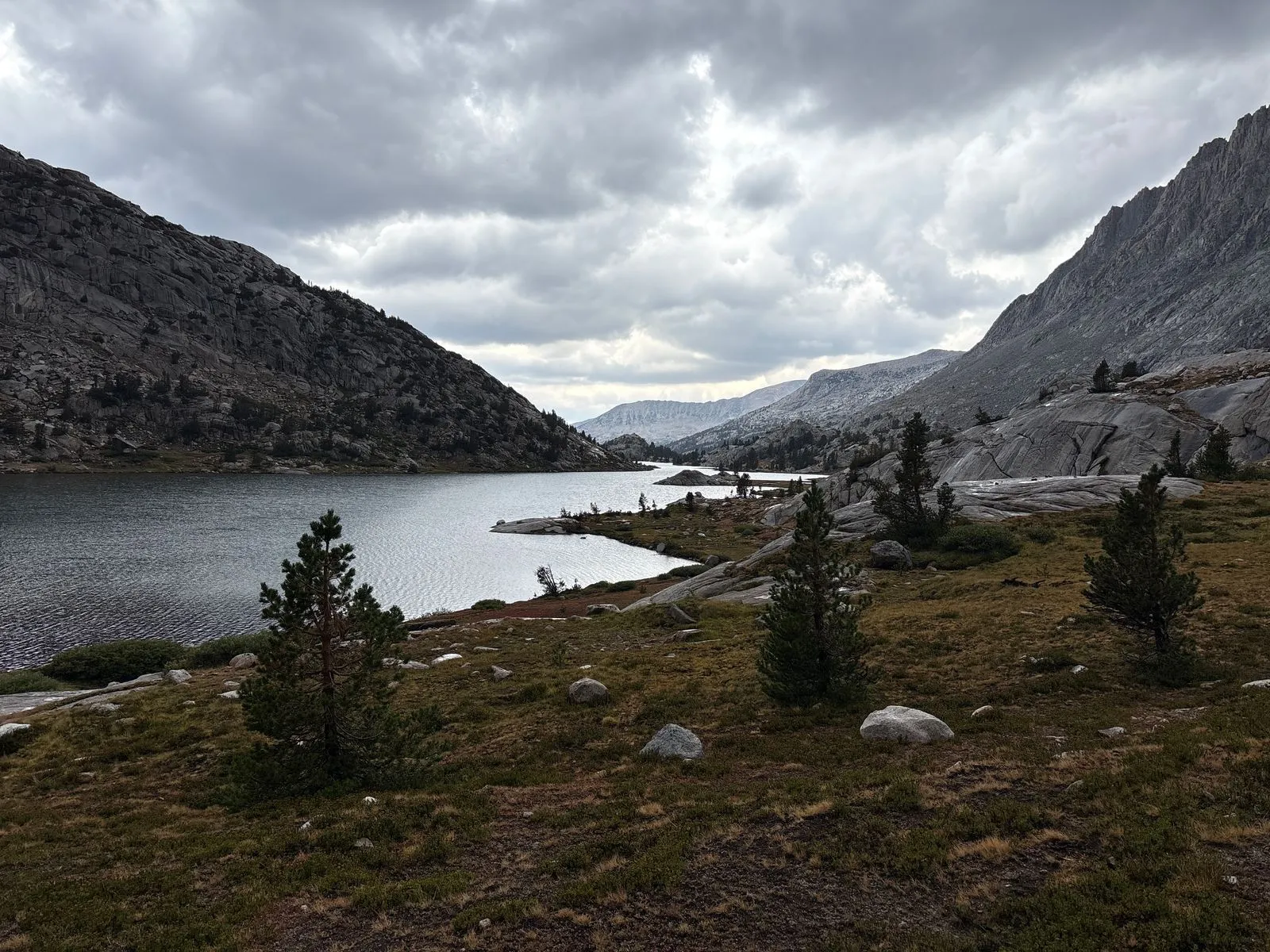
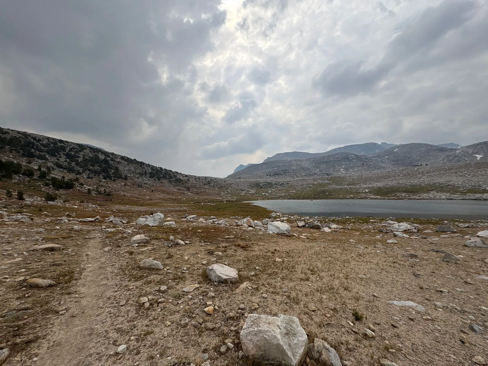
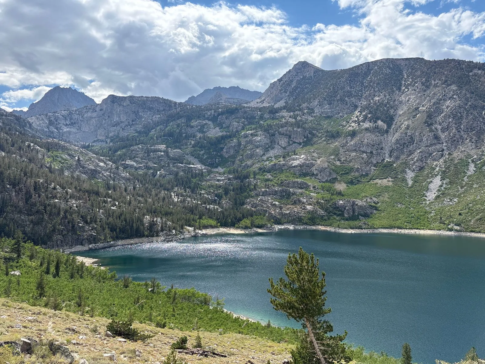
As I passed Saddlerock Lake and Bishop Lake a few miles to the south, the weather turned progressively worse. By the time I had passed Bishop Lake and was nearing the final climb to Bishop Pass, I was in the middle of a fairly heavy hailstorm. Each impact of hail stung me through my rain jacket. When I approached the top of the pass in the late morning, the frequent nearby lightning strikes compelled me to take refuge at a low point underneath a large boulder. I waited there about an hour and a half with a couple of other hikers and a dog who were headed the opposite direction. Eventually the lightning grew distant enough that we were able to continue on our respective journeys.
Wetted out
I make several mistakes on every single trip, and this one was no exception. Although I had packed a rain jacket and pants, I neglected to do my usual persnickety product research. I was used to Sierra Nevada summer storms being sporadic and brief, so I assumed that my relatively inexpensive REI rain gear would suffice. Unfortunately not. After about 20 minutes in the rain it had completely soaked through.
I considered aborting the trip, but as I was able to comfortably maintain my body temperature while standing under the boulder, I decided it was safe to continue. I could always set up camp and abort later if need be.
The GroundUpAdventures Youtube channel posted an excellent review which perfectly describes the REI rain gear’s shortcomings. Her experience matched mine exactly. I replaced it with a higher-end set of Patagonia TorrentShell rain jacket and pants shortly after returning home, and they made my subsequent rainy trips much more comfortable.
I didn’t get any photos near the top of the pass because I was more concerned with keeping my butt from getting cooked by lightning. As soon as I left the shelter of the boulder, I moved quickly to reach lower ground and get out of the open terrain.
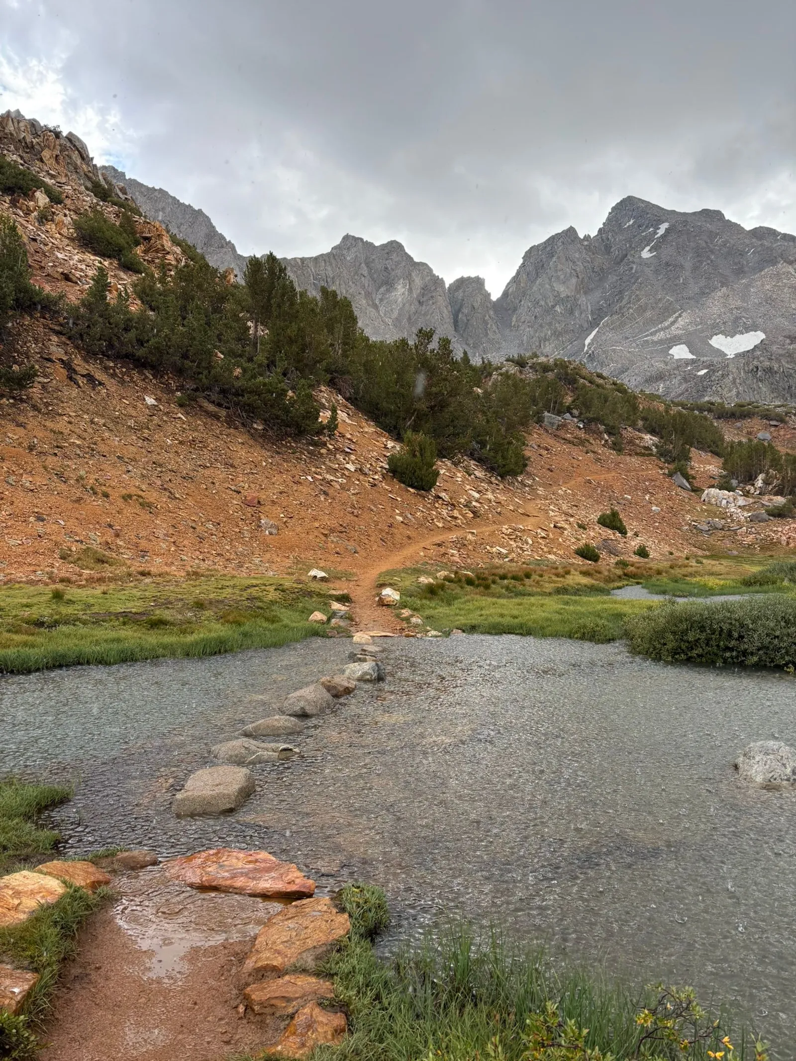

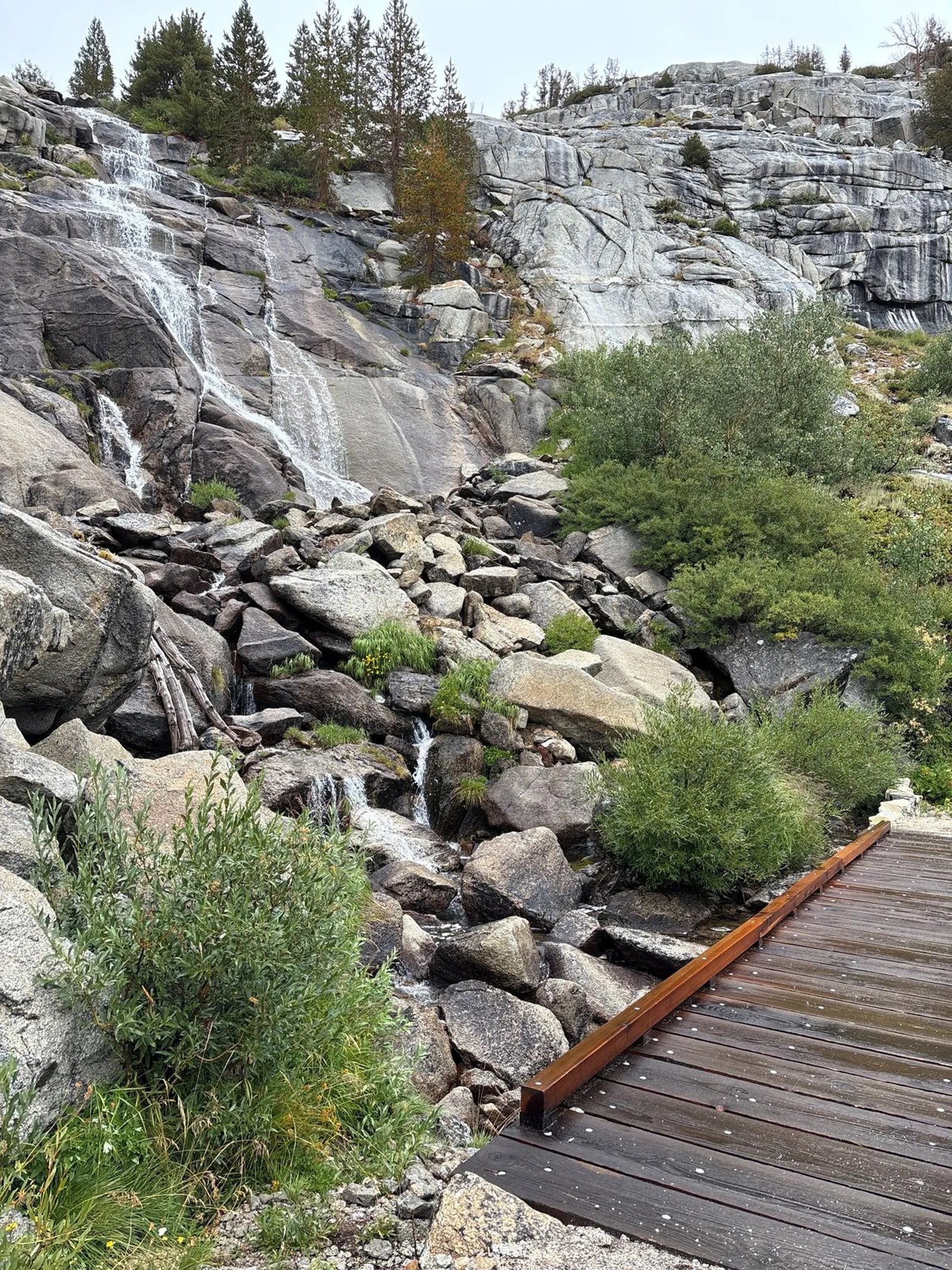
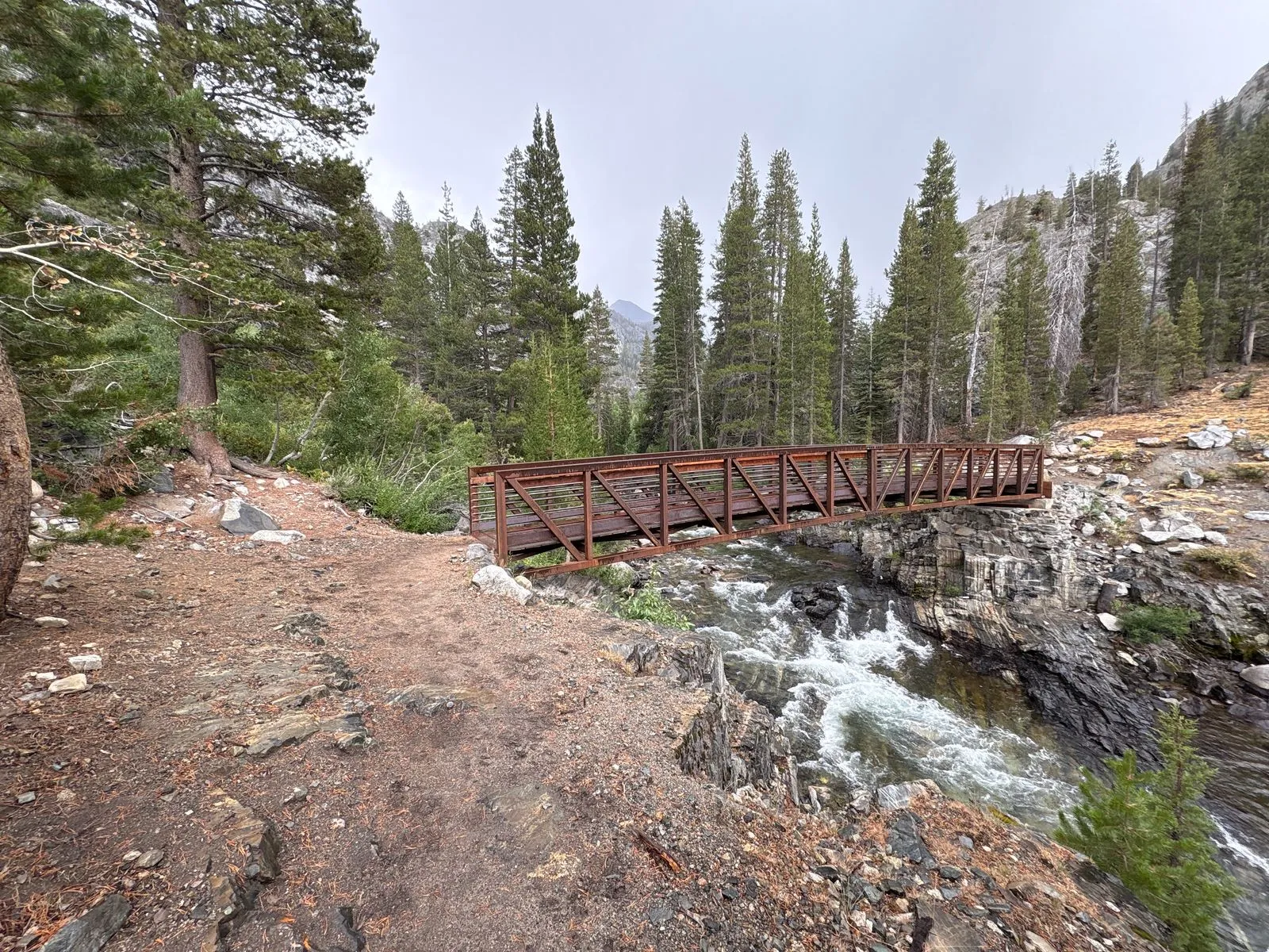
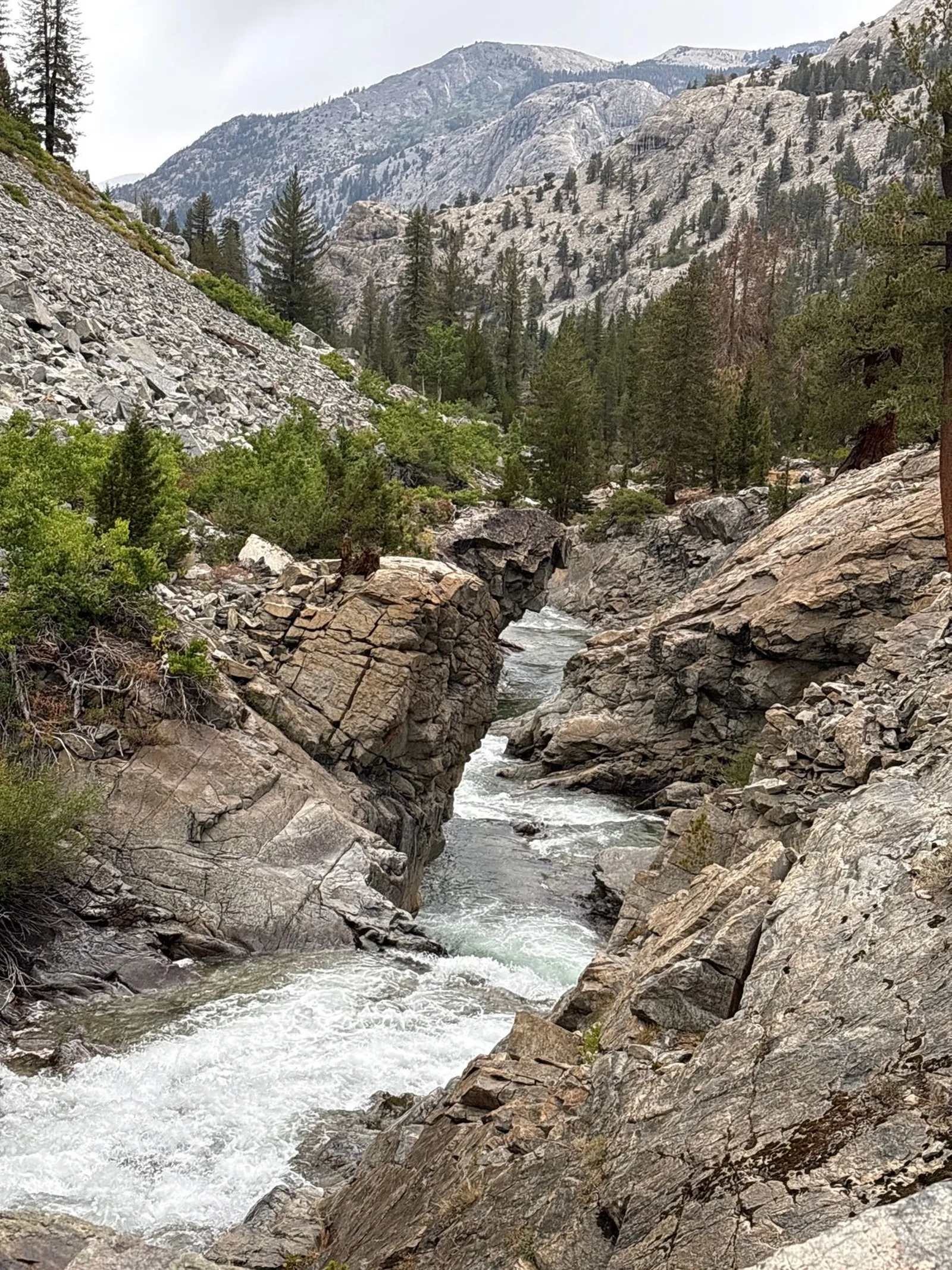
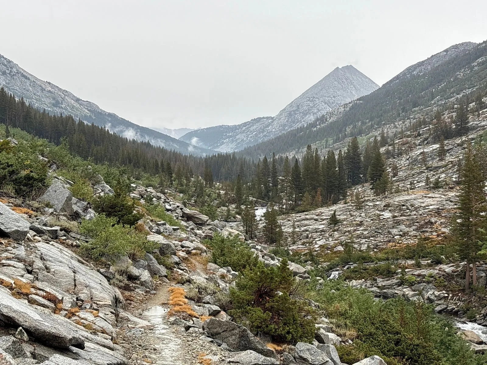
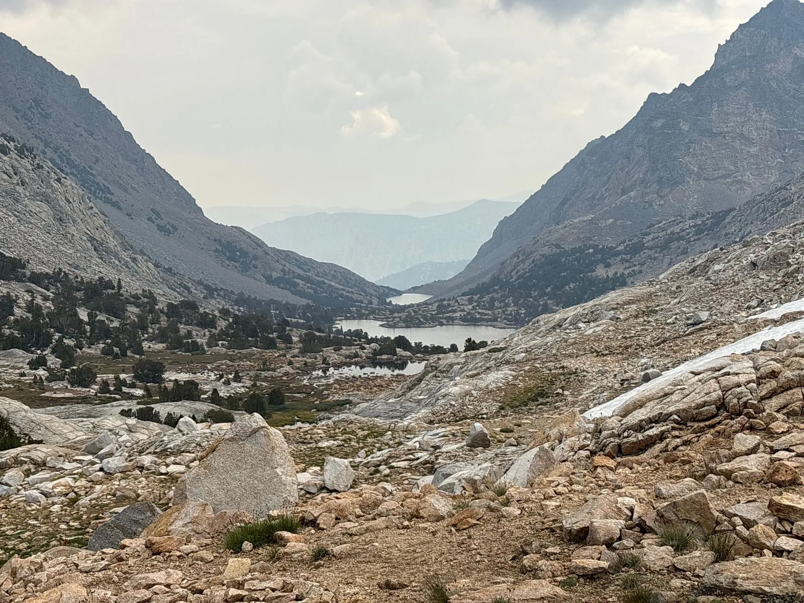
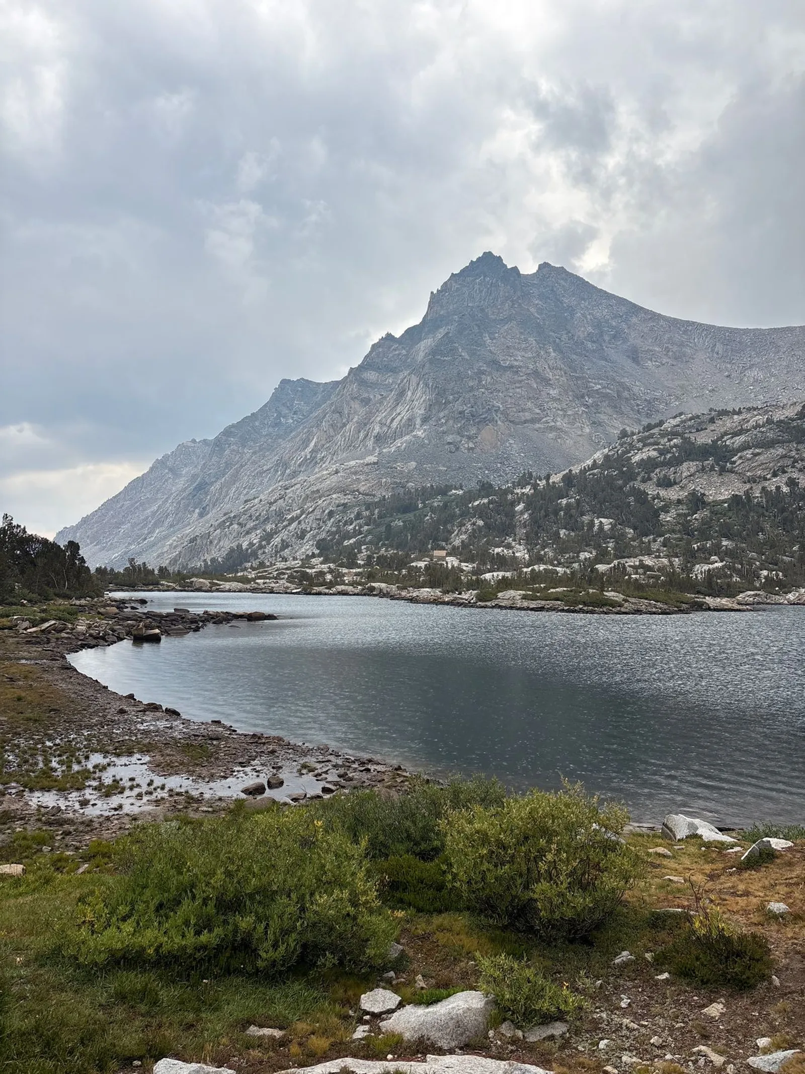
I descended into the Dusy Basin and continued my eastward descent to the middle fork of the Kings River and the John Muir Trail, both at the bottom of the valley over 2,000 ft below. The views of the valley and surrounding mountains were incredible despite the dreary day. The Dusy Branch creek flowed alongside the trail down a massive slab of granite several hundred feet wide.
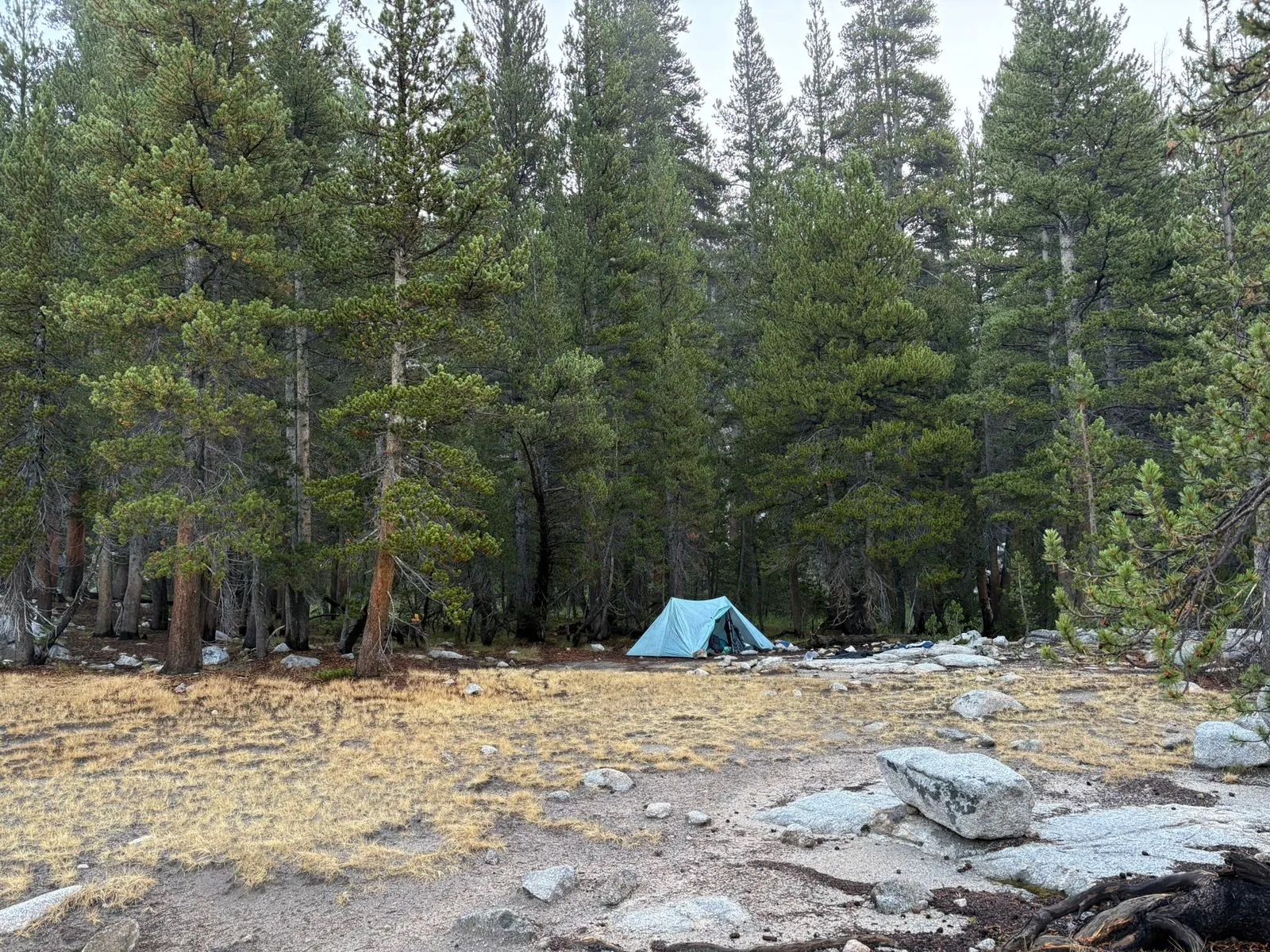
Once I reached the valley floor, the rain had subsided enough that I was able to take a break and give my gear a chance to dry out a bit. I eventually reached Big Pete Meadow around dusk. I set up camp in a nice sheltered grove, cooked dinner, and went to bed around 8:00PM. It rained and hailed heavily throughout the night, with thunder and lightning hitting the surrounding mountains. I slept well despite the weather, staying warm and dry.
Day 2: Big Pete Meadow to McClure Meadow (15 miles)
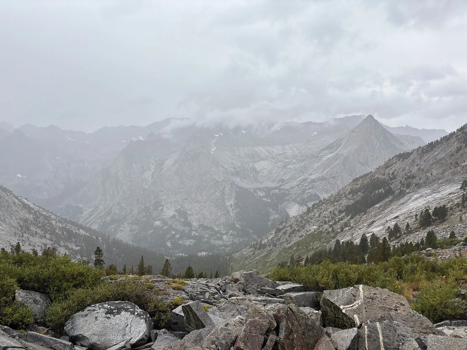
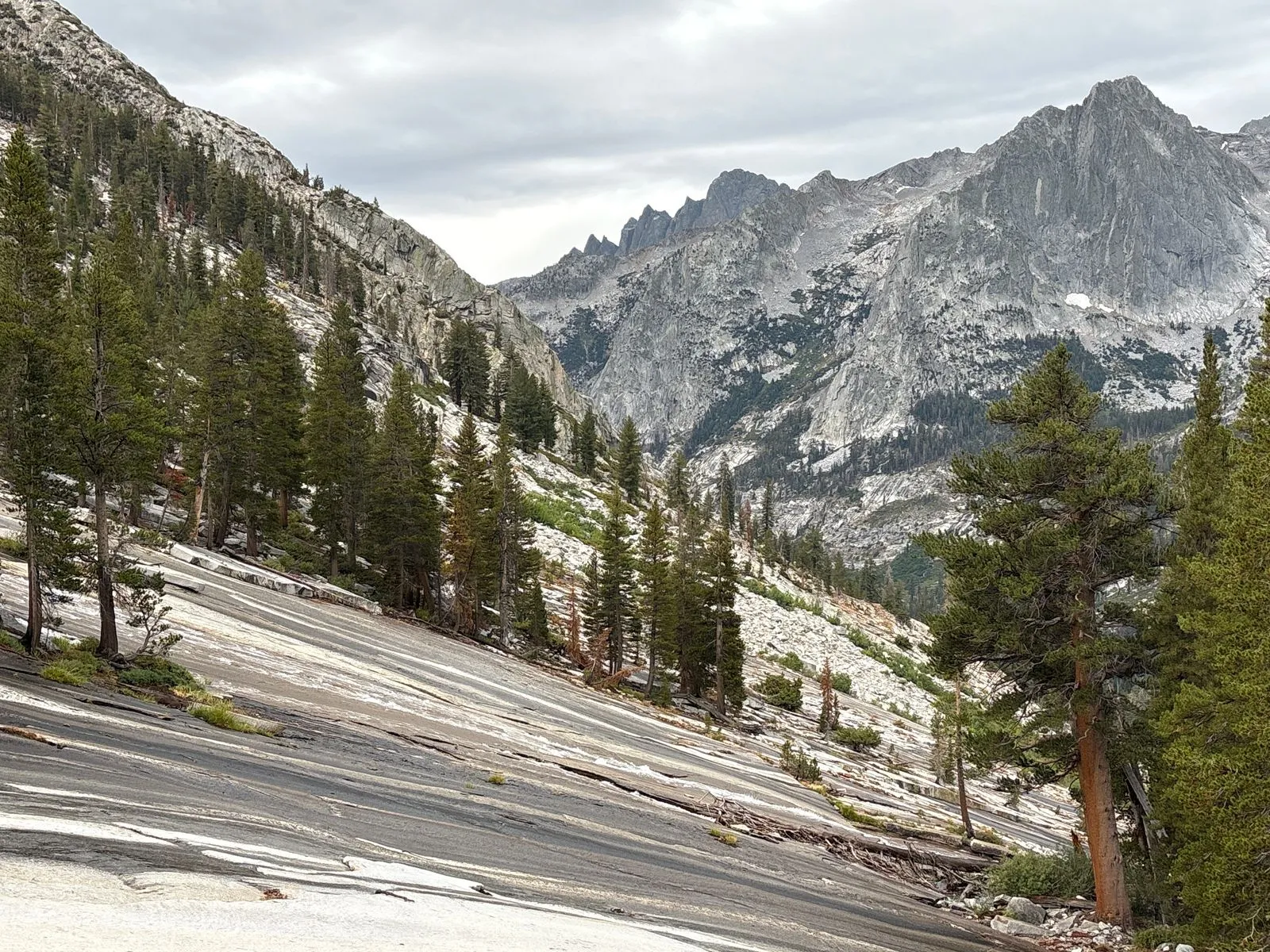
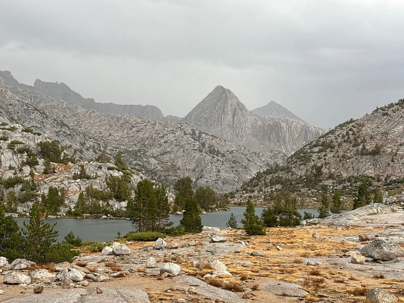
The next day also saw lots of intermittent rain. The trail ascended about 2,700 feet over about five miles to reach the top of Muir Pass, while passing Helen Lake and several other unnamed alpine lakes along the way. There was some lightning near the pass, but not as much as the previous day. With plenty of taller peaks and rocks around, I felt safe enough to continue.
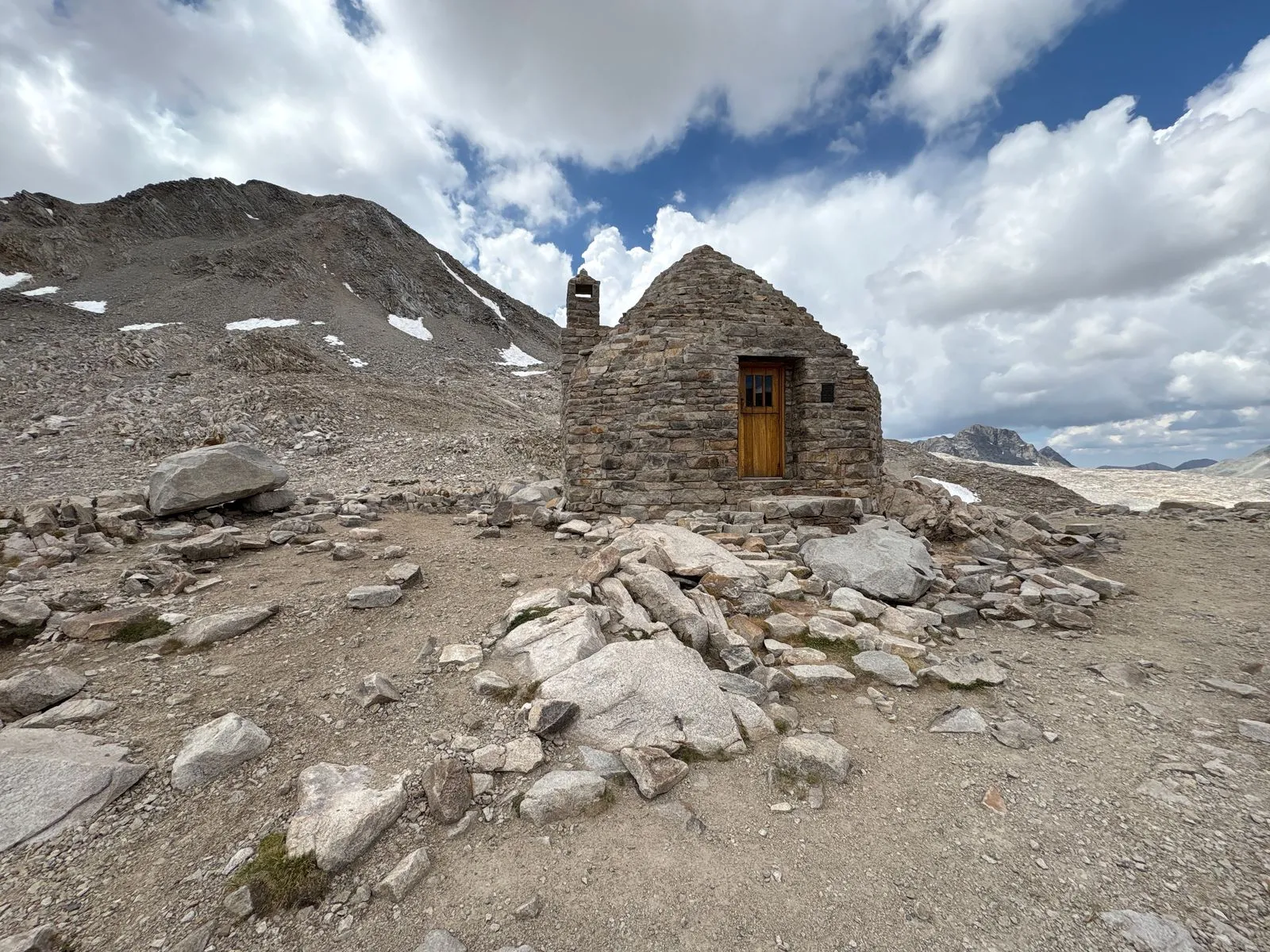
I took a peek inside the warming hut at the top of the pass. Such a sight is undoubtedly common to thru-hikers, but it was the first time that I had seen one. It’s pretty neat to see an old stone building in the middle of nowhere. It housed a gourmet restaurant and a bustling casino, but alas, security would not permit me to take photos inside.
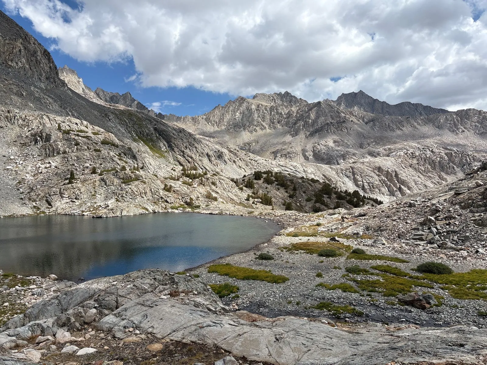
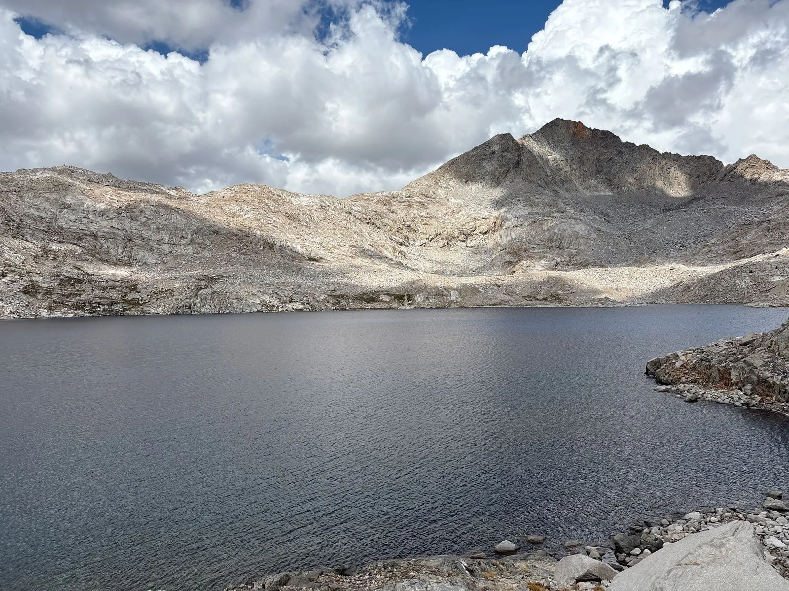
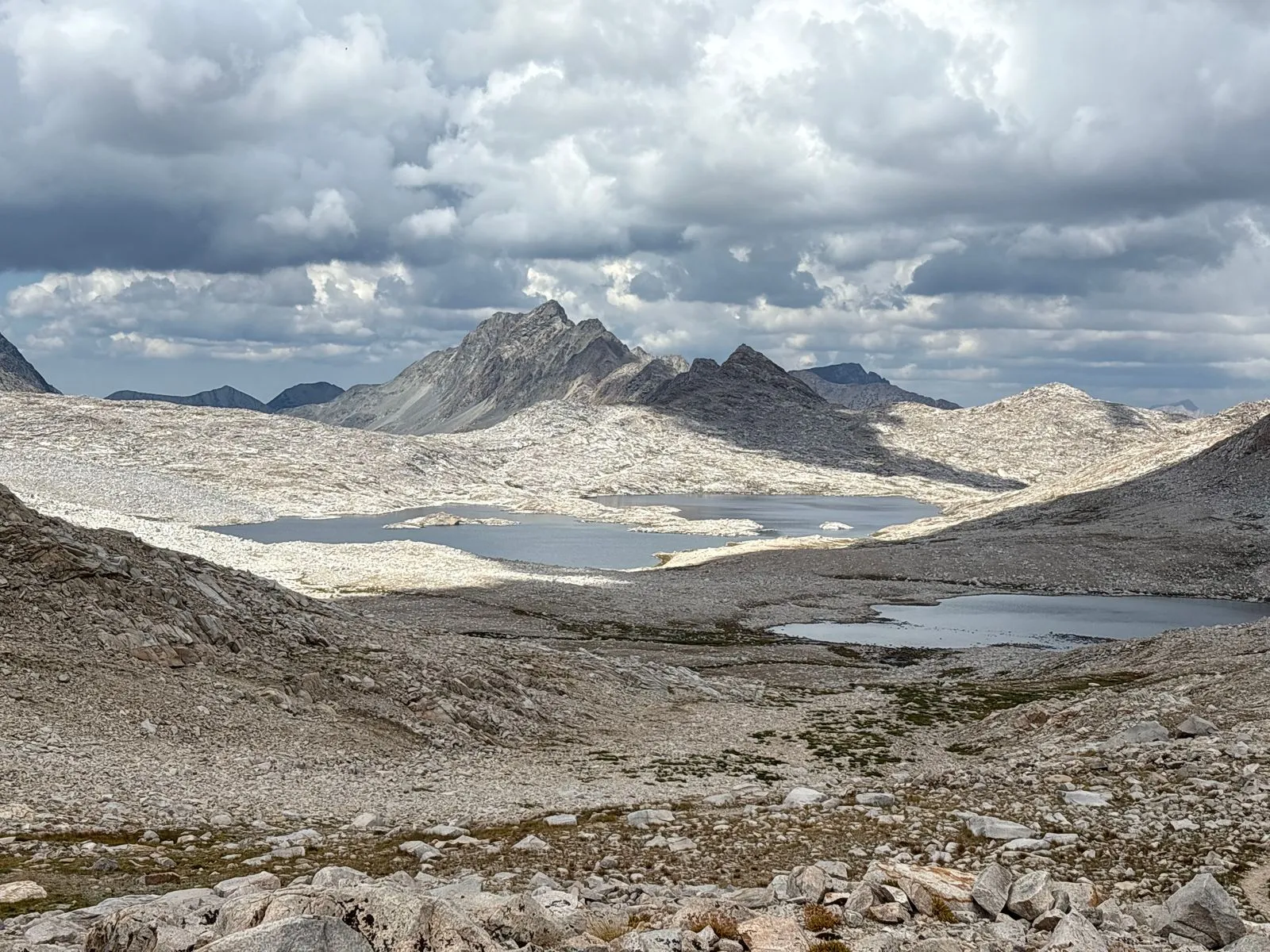
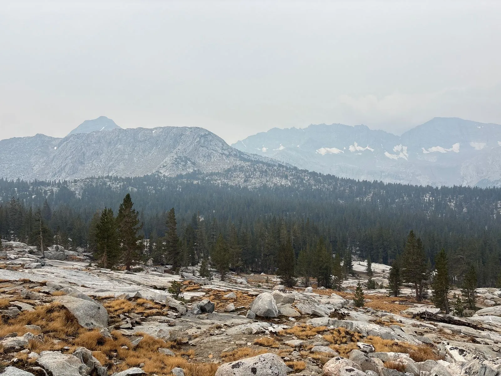
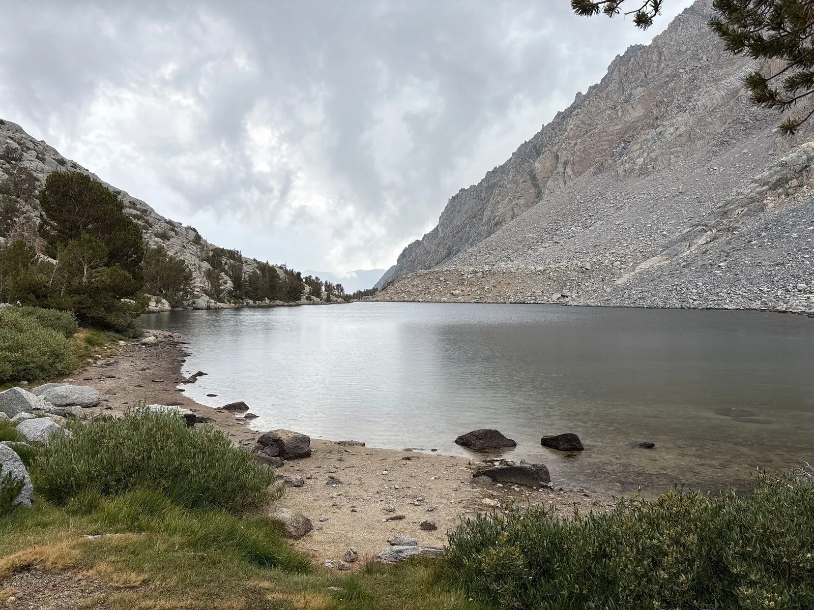
As I descended the other side of Muir Pass, I had a nice view of the roughly 2-mile-long Wanda Lake below. I continued past it and Sapphire Lake, where I noticed an established camp along the shore. I didn’t get a good photo of it, but there was a pretty good sized tent there, perhaps serving as a mess hall for at least a dozen people, and it was surrounded by several identical yellow tents. It looked like it might have been set up for a guided group trip or a trail workers’ camp. Either way, it was not a spot I would have wanted to camp at, given its exposed location and close proximity to the water.
I passed Evolution Lake and made my final descent for the day into Darwin Meadow, where I was planning to camp. However, when I arrived there, I saw probably more than a dozen tents already set up. It was summer thru-hiking season after all. As it was still late afternoon, I decided to continue on for another mile or two to the much quieter McClure Meadow, where I set up camp a few hundred yards from the ranger’s cabin.
Day 3: McClure Meadow to Hutchinson Meadow (13 miles)
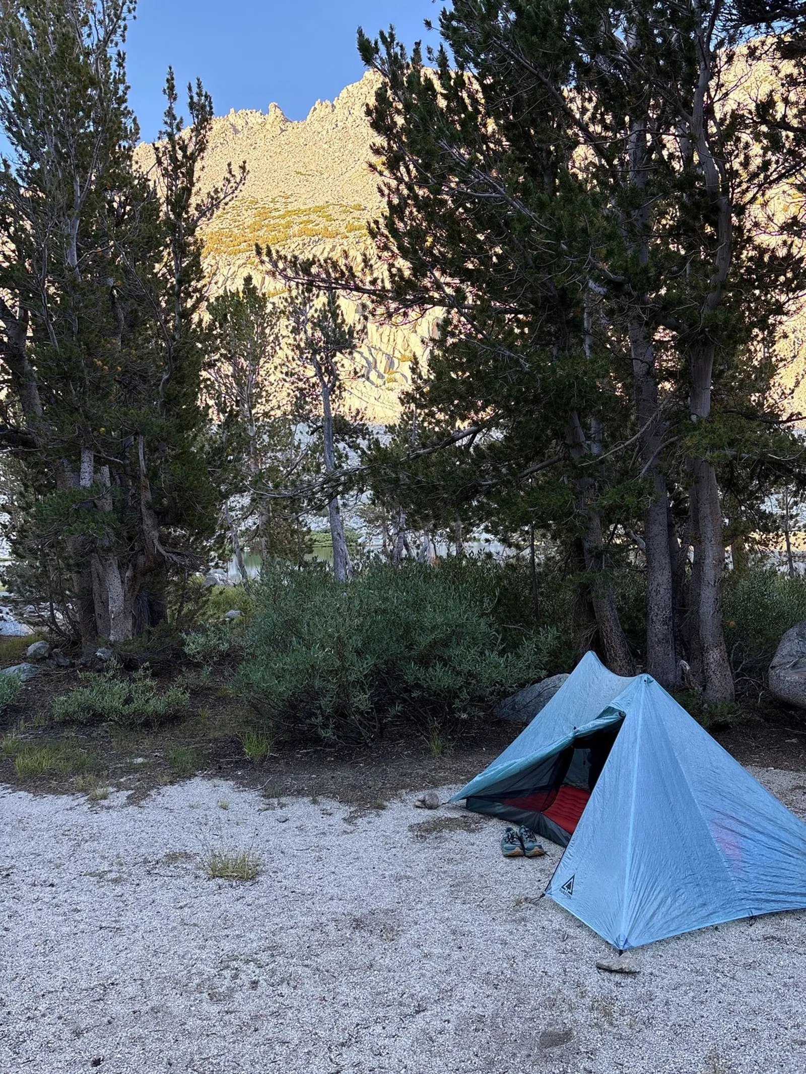
Even though McClure Meadow is about 1,700 feet higher than the valley floor a few miles to the east, I woke up in the morning to find myself in a dense fog bank. When I tried to charge my iPhone, it sounded an urgent moisture warning alarm. And yet, in spite of the condensation, I stayed warm and mostly dry inside my single-wall trekking pole tent. This finally dispelled my lingering fears about condensation issues with single-vs-double wall tents.
I got a late start that morning to give the sun a chance to rise and dry out my tent and other gear, probably setting off around 10:00am. A mile or two west of the river crossing at (I believe) Evolution Creek, I came up behind a pleasant couple and we started chatting. They told me their trail names and thought it was a bit odd that I introduced myself as Kevin.
After about half an hour of slow trudging together at about half my normal pace, I was about to beg their pardon when we reached the river crossing where a larger group sat waiting for them to arrive. I said my goodbyes and briskly crossed the river and charged down the trail to open up a bit of a lead, lest I get caught in a big gaggle of backpackers for the next several miles.
The descent into the valley where the John Muir Trail merges with the Pacific Crest Trail (PCT) was pretty pleasant, and I removed my convertible pant legs to cool off and enjoy the rain. After reaching the valley floor, I continued northwest along the Pacific Crest Trail and the west fork of the San Joaquin River, with a couple of bridge crossings along the way.
I stopped for a brief trailside lunch and got a quick reminder of just how busy the PCT can be during the summer thru-hiking season. When you’re hiking on level ground, you’re generally going about the same speed as other hikers, so you rarely see one another. Once I had stopped, at least three groups passed me in a 20-30 minute span.
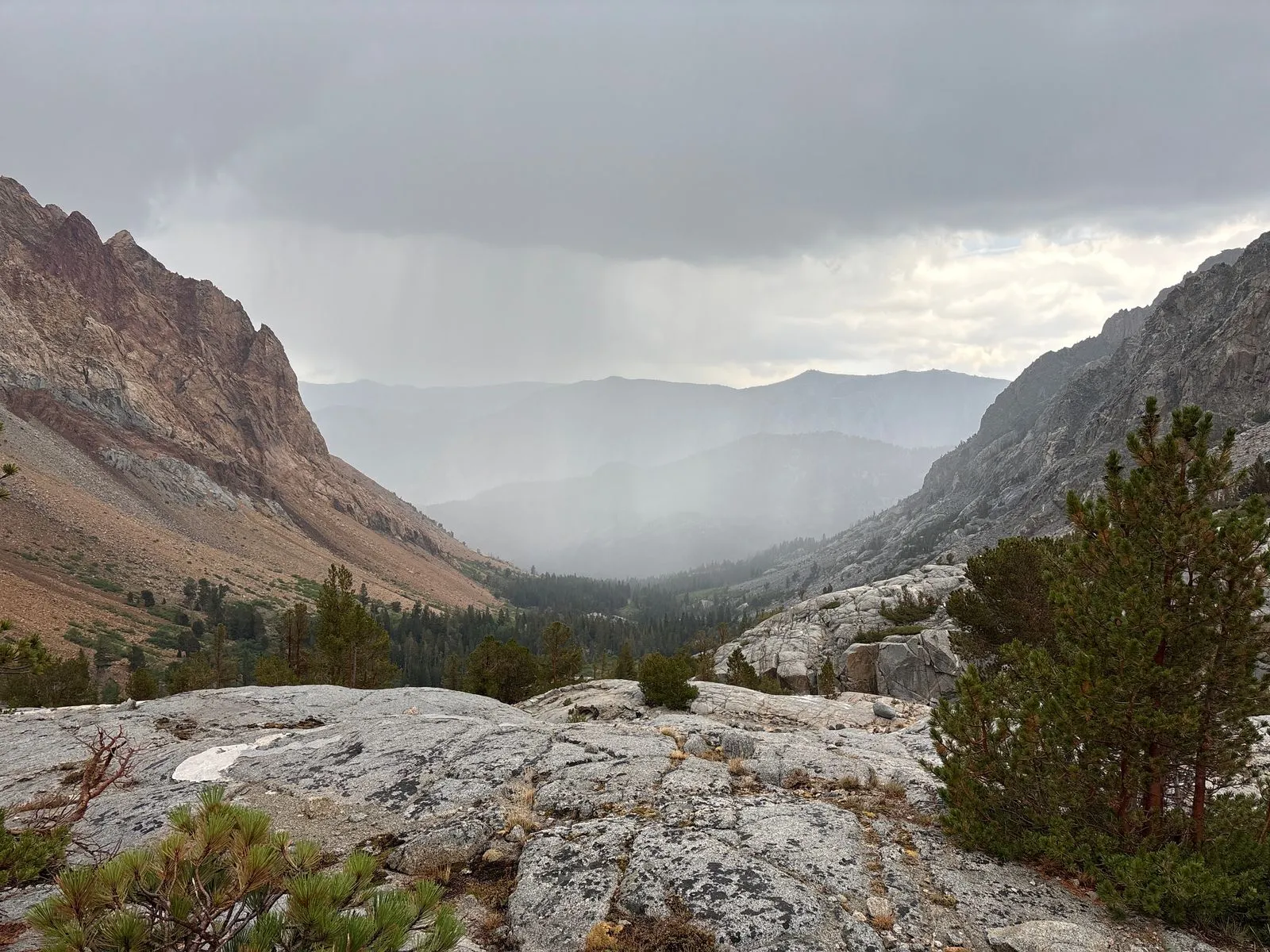
In the late afternoon I reached the Paiute Creek bridge crossing. Several hikers were relaxing there in the rain. I crossed the bridge and started the long northward climb up the Paiute Canyon Trail. The solitude was welcome after the busy PCT segment.
Final ascent to Hutchinson Meadow
The Paiute Canyon Trail climbed about 1,400 feet in elevation, with a few sections of steep switchbacks. The weather grew progressively worse as the day went on. As I neared the meadow, I encountered three backpackers coming the opposite direction who were carrying identical rental gear. They looked pretty beat up and exhausted. They asked me for some advice on where to set up camp. I told them that, while I’m certainly not an experienced backpacker, they should consider a spot a few hundred feet away that was nicely sheltered in the trees, close enough to the creek to be convenient without being right next to it, and with several flat rocks to dry their gear on in the morning. They assured me they were okay, so I wished them well and continued another mile or so before setting up camp for the evening.

You may have noticed by now that I don’t choose the most beautiful of campsites. In my youth, I would (perhaps like many other backpackers) seek out the most picturesque spots as close to water as was allowed. Now, thanks to the shared experience of others, I’ve learned that the ugly campsites are usually the warmest.
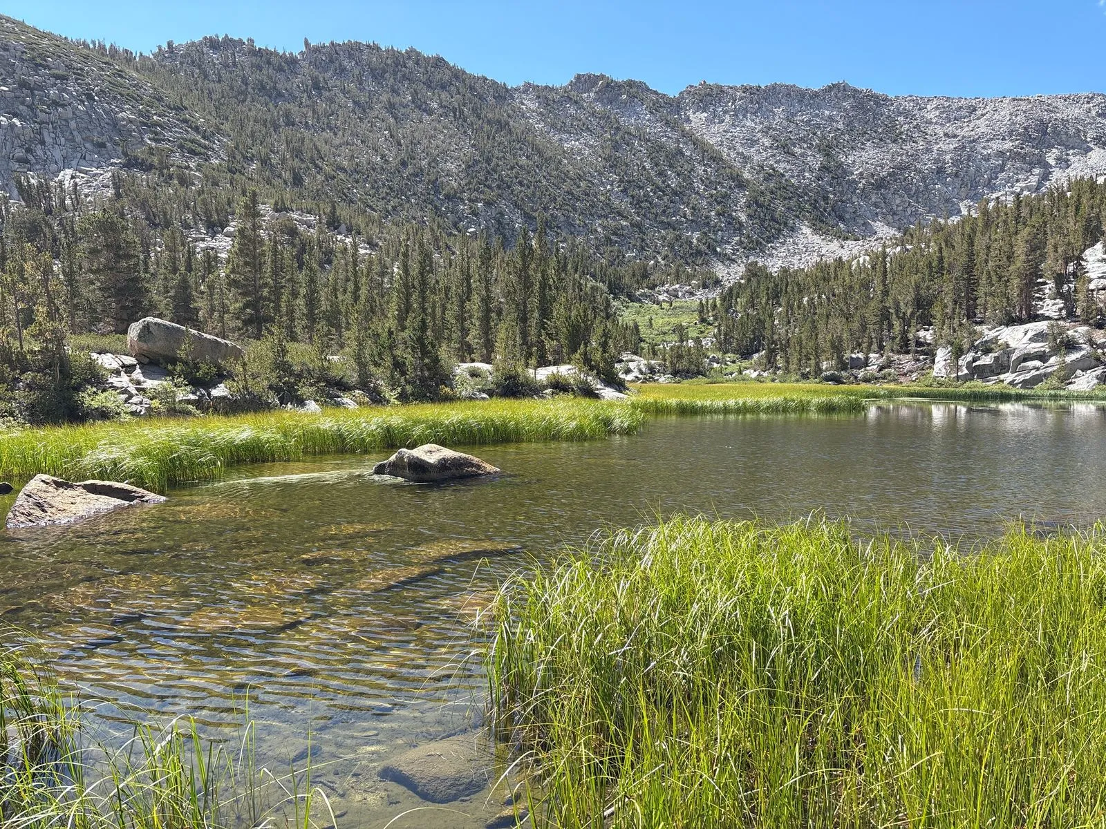
Day 4: Hutchinson Meadow to George Lake (16 miles)
Approaching Paiute Pass
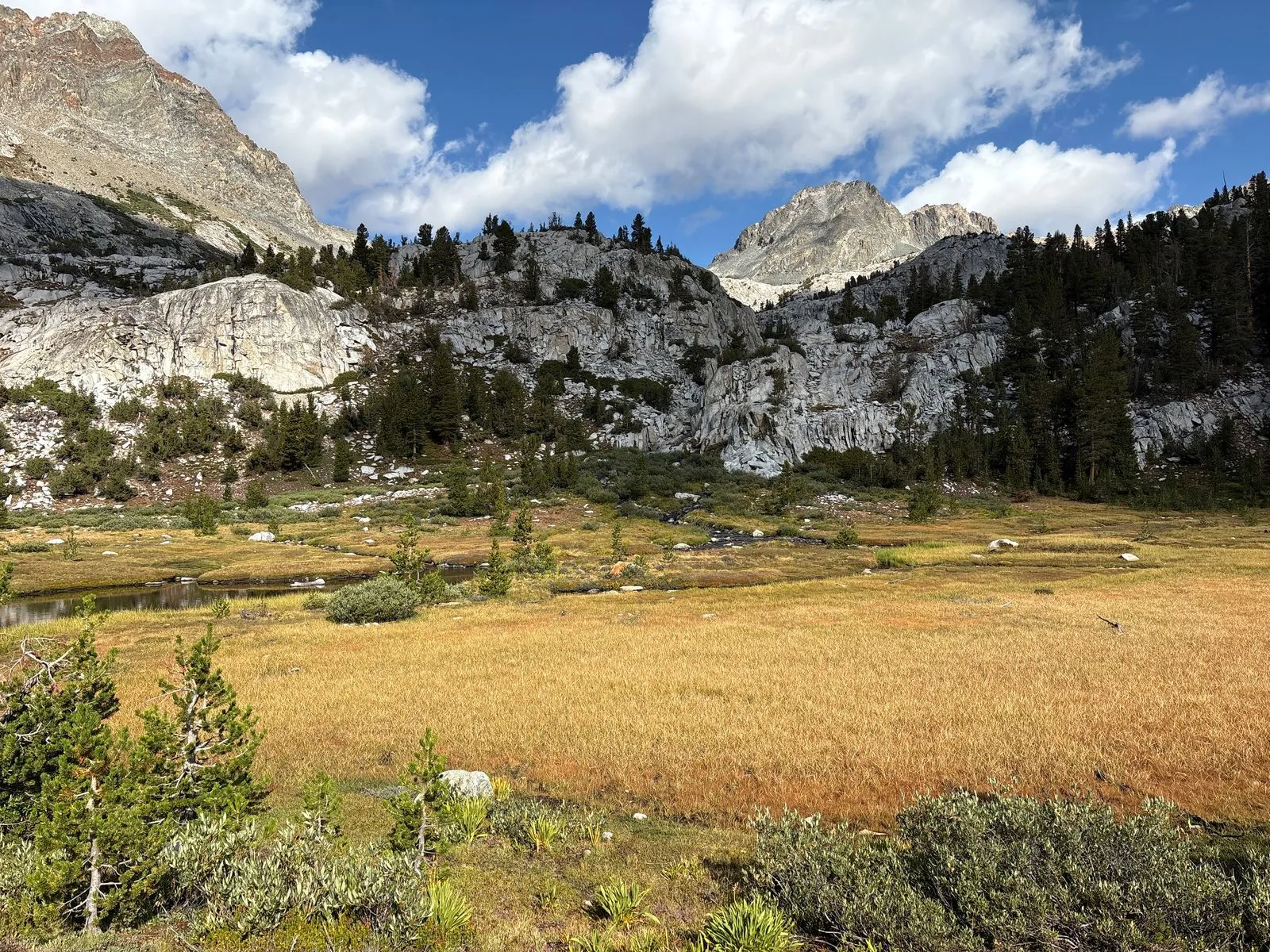
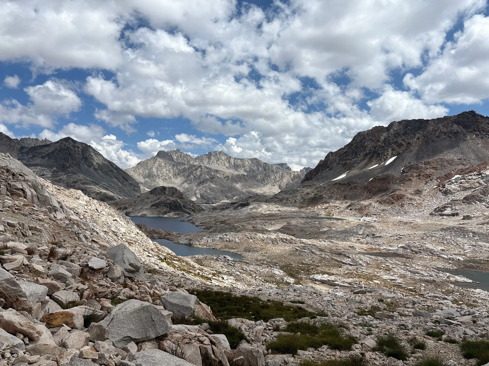
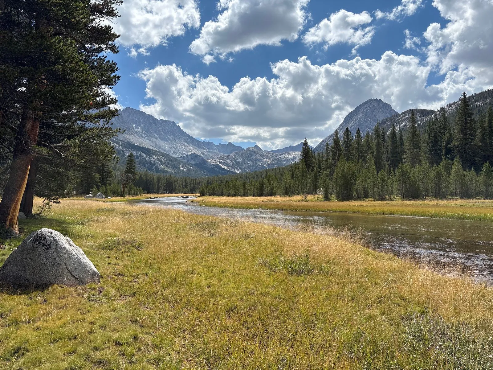
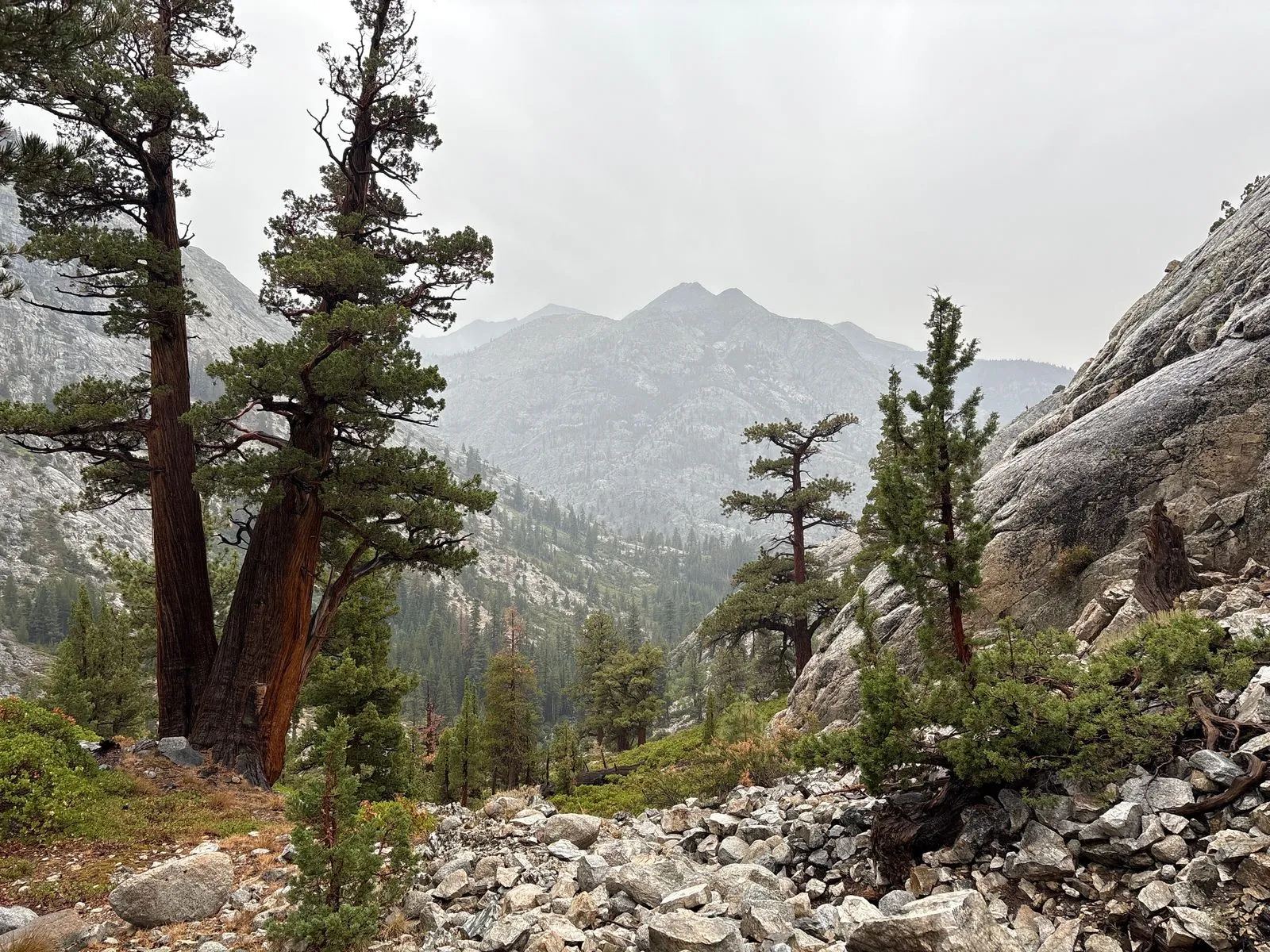
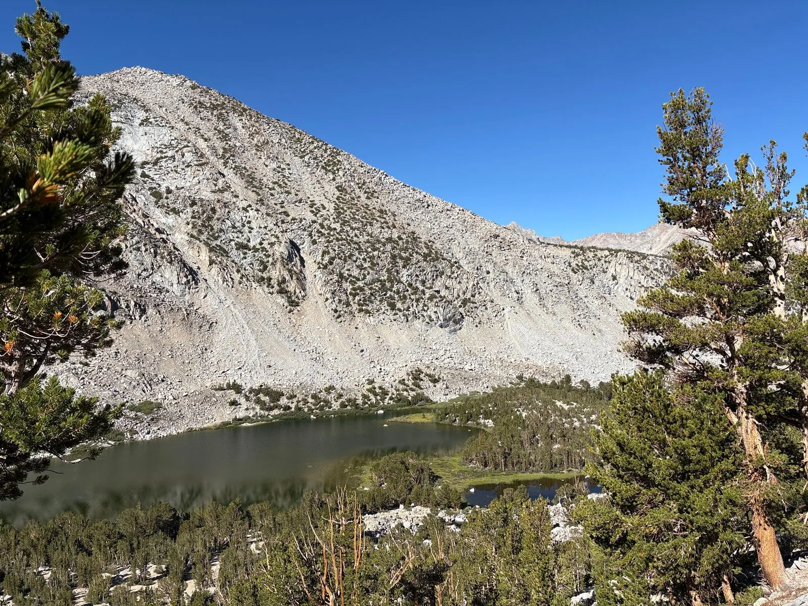
The next morning I got a fairly early start. The weather was still drizzly and overcast. After a few miles the trail split in two, with a south fork going close to the Golden Trout Lakes, and the north fork traversing the ridge a couple of miles away. Both trails headed towards Paiute Pass to the east. I chose the north fork for the views, though I was a bit worried about the water situation. I needn’t have been; there were several springs along the way, and that section of the trail was one of the most beautiful of the entire trip. The photos don’t quite do it justice. The massive open expanse, with towering granite peaks the south and the Golden Trout Lakes in view in the distance, were really a sight to behold. It was here that I sent a quick Happy Birthday satellite text to a good friend’s son. Yay technology.
The descent back to civilization
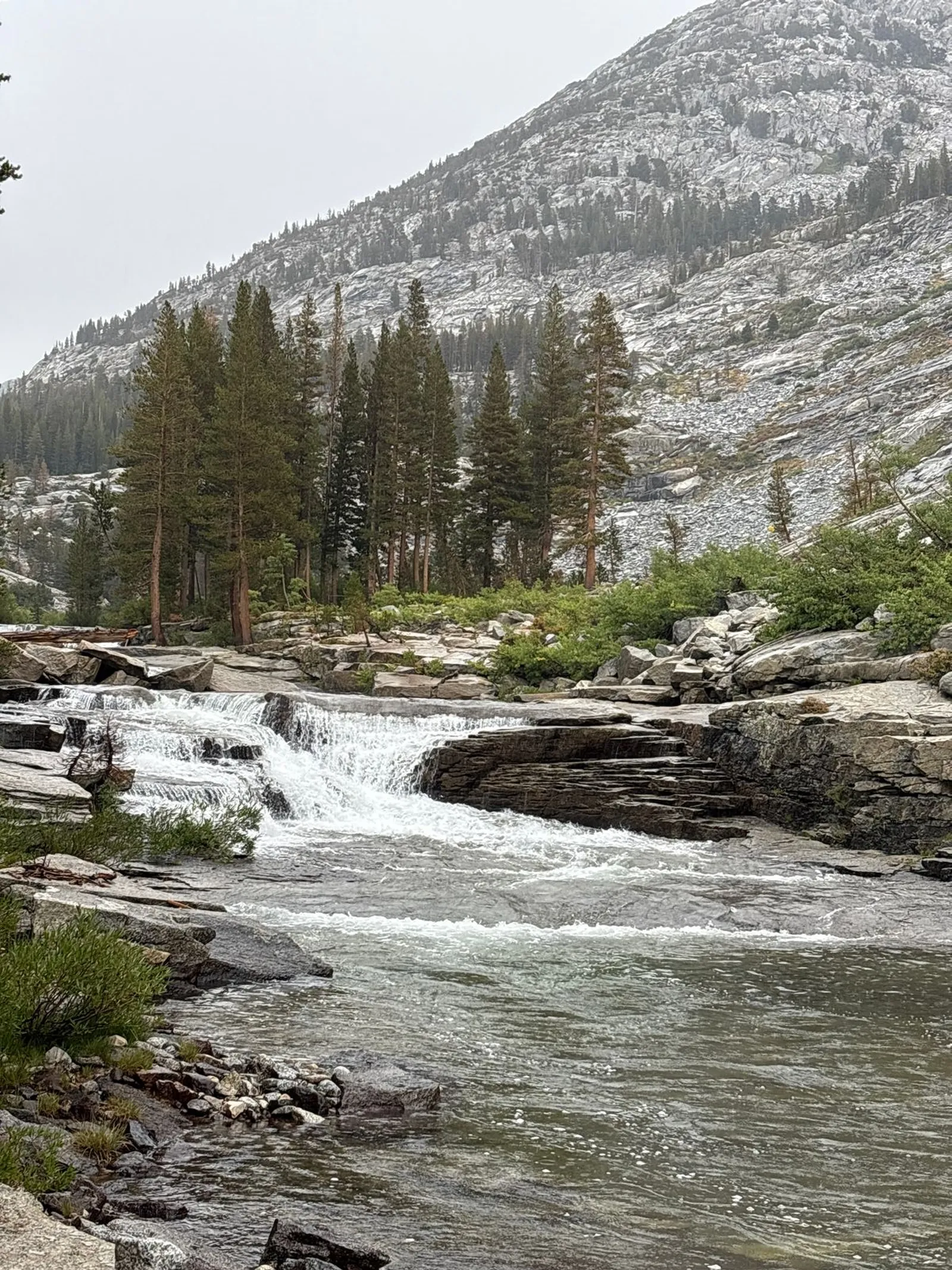
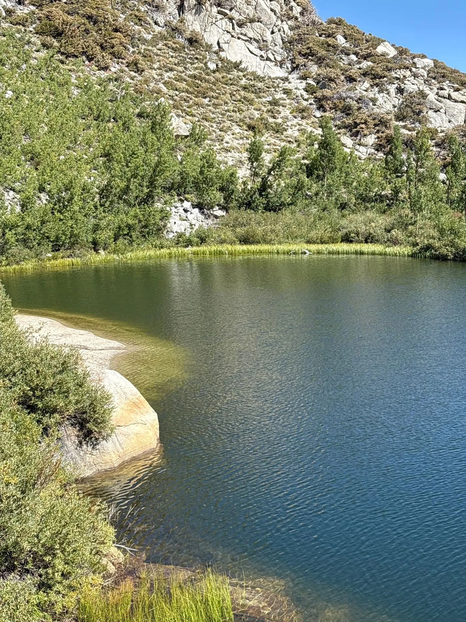
Upon reaching the top of Paiute Pass, I again wasted no time on my descent into more protected terrain. I descended about 3,000 feet over 7-8 miles to reach the North Lake campground, passing Paiute Lake and Loch Leven lake along the way. I stopped at Loch Leven for a late lunch, and the rain was coming down pretty good. Seeing and hearing the lightning strike the granite cliffs far above me was pretty awesome, and I was glad to be on lower ground in relatively sheltered terrain.
I reached the North Lake campground probably around 1:30pm. After a quick pit stop, I resumed hiking along the road, around the bend towards Lake Sabrina. The town of Aspendell came into view down the valley, and it was bathed in sunlight. When I looked the other direction, towards the mountains that I was heading right back into, the thunderclouds were looking pretty ominous.
A nice couple who I had passed on the way down drove past me in their car, and repeated their offer to give me a ride back to the South Lake trailhead. The thought of a restaurant meal and warm shower was pretty tempting, but I was largely enjoying myself, so I thanked them and continued on my way.
One thing I was starting to notice by that point was that, unlike the backpacking trips of my youth where I grew progressively more tired with each passing day, I was actually feeling better on the 4th day than I had been on the 1st day. I was getting acclimated, my high-calorie diet was serving me well, my pack was several pounds lighter due to food consumed, and most of my gear was working great.
The hardest part of the trip
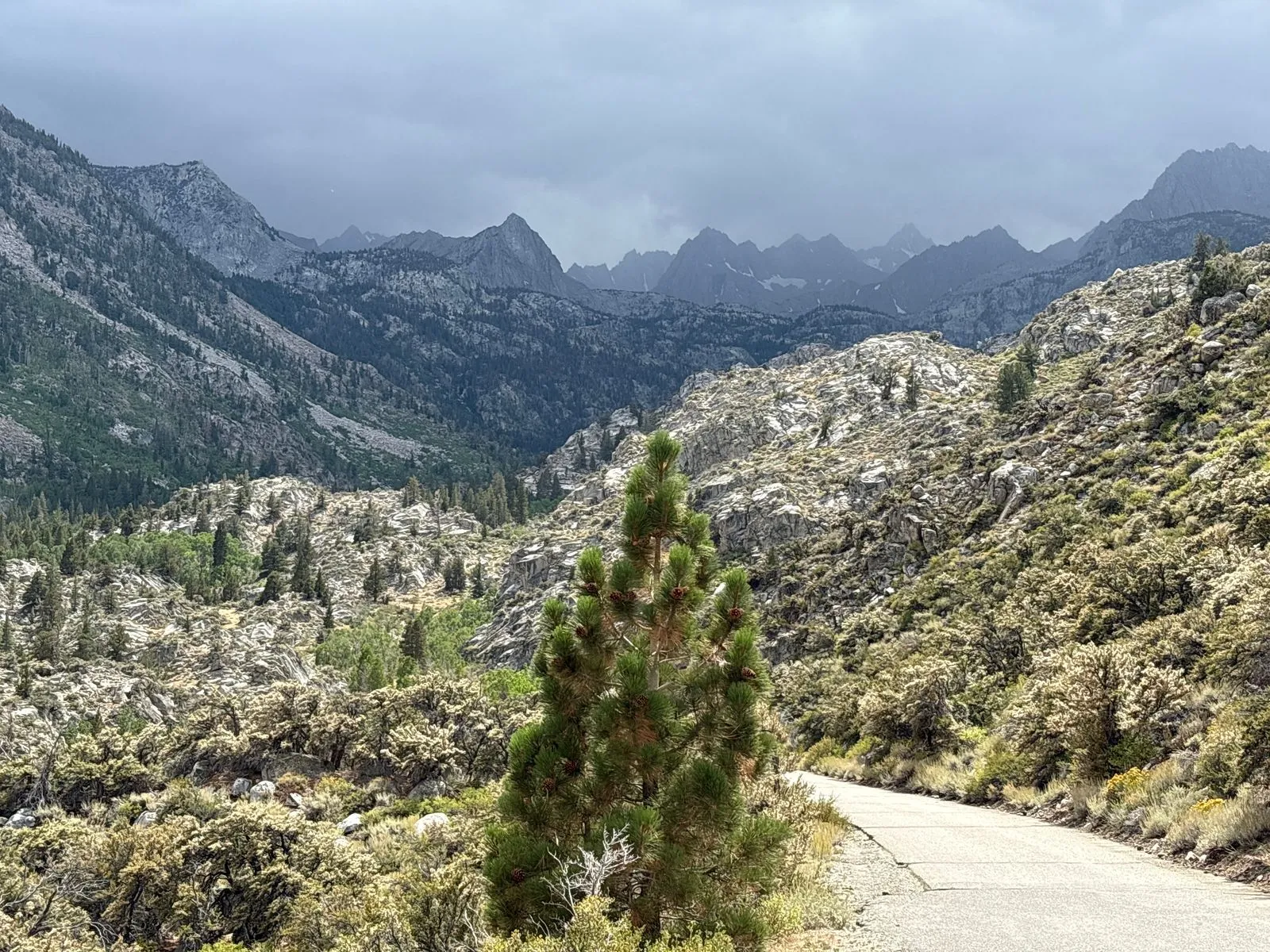
At around 3:00PM I reached the Tyee Lakes trailhead near Lake Sabrina. The lake is a pretty reservoir with a dam and a boat launch. At first the climb was pretty gentle, but after about a mile it turned into a really steep ascent which gained about 2,000 feet over about 3 miles.
On paper it didn’t look any worse than what I had already done multiple times before on the trip, but the climb came right at the time when I experienced my first real weather break of the trip. The sun was bearing down, there was very little shade on the trail, and I only had about a liter of water to save weight. By that point I had already hiked about 14 miles, and my energy was starting to wane. I finally reached a small tree that provided a sliver of shade. I stopped and had an energy bar, and then gave myself about 45 minutes to reach the summit. If I didn’t make it by then, I would head back down to set up camp somewhere near Lake Sabrina and try again the next day.
Finally I reached the top of the mountain, where some nice tree cover awaited. I continued a bit further to George Lake and set up camp nearby for the evening.
Day 5: George Lake to South Lake (8 miles)
The last day I enjoyed comparatively pleasant weather. I ascended toward Table Mountain from Lake George, and walked along a broad ridge before descending into the valley where the Tyee Lakes lived, and then progressively lower valleys until I reached the other end of the Tyee Lakes trailhead, about 2,400 feet lower in elevation, and a couple of miles from where I had parked the car at South Lake.


No matter how nice the trip, the last couple of miles always seem to drag on forever. This trip was no exception, with the return trip to the car being a steep slog up 800 feet. I regained cellular service somewhere around there, and my wife, who was watching me on the satellite tracker, started texting me to see what the hell was taking me so long. On her map it looked like I was practically right next to the car, but I probably didn’t reach it for another half an hour, at around 2:00PM.
Happily the car was right where I had left it, and still intact. After driving a few miles down the road, I found a private turnout near the creek where I was able to wash off my dirty bits before making the several hour drive back home.